Donnelly River
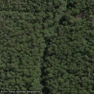
Donnelly River
- Boat Ramps
- 1
- Access Points
- 0
- Campsites
- 3
The Donnelly River flows through the South West of Western Australia, winding through jarrah forest before widening across the coastal plain and reaching the Southern Ocean. The primary launch point for paddlers is Donnelly Boat Landing, accessed via Boat Landing Road off the Vasse Highway — approximately 3 km of good gravel road. A boat ramp and platform are present at the landing, making vessel launching straightforward. From this point, the downstream run to the river mouth covers approximately 12 km of flat water, with no alternative road access to the lower river, meaning the paddle itself is the only way to reach that stretch.
The river is navigable year-round for the downstream journey, though winter and spring peak flows are noted as particularly suitable for paddling. The lower section passes through dense bushland before high limestone cliffs appear near the mouth, followed by a sandbar at the ocean entrance. The river mouth is seasonally closed, and water currents and depths can vary considerably in that area. Paddlers should be aware that the sandbar can block access to the ocean entirely depending on conditions.
A lagoon near the mouth supports notable birdlife including swamphens, sea birds, and black swans. The river also holds freshwater fish species such as western minnow, western pygmy perch, black bream, and trout, and salmon have been caught near the mouth. The lower river is accessible to both powered and unpowered craft; the maximum speed limit is 8 knots. During summer weekends and holiday periods, motorised boat traffic can be heavy on this unpoliced stretch, and some powered vessel operators have been reported travelling above the idle limit near kayakers. Paddlers seeking quieter conditions are better served by visiting outside peak summer periods.
The 12 km distance to the mouth makes the route well suited to an overnight trip, with camping possible near the river entrance. The route passes through largely undisturbed native vegetation, and the combination of forested upper reaches, limestone cliffs, and coastal dunes near the mouth gives the journey a varied character. Facilities at Donnelly Boat Landing include a toilet, boat ramp, shelter, and picnic benches.
Water access, boat ramps & amenities
Learn how to get on Donnelly River. Uncover great paddling access points, boat ramps, and all the facilities you need for an unforgettable day on the water. Some locations shown may border or include private property. Always check property boundaries and applicable regulations before visiting. PaddleWays's Public & Private Land layer can help you plan your access with confidence.
Paddle smarter with real-time insights
Whether you're en route and conditions shift or you're looking for the best spot based on current flows, we enable you to make informed decisions on the fly.







Western Australia licenses and regulations

Find Places to Paddle

Over 400,000 Places to Paddle
Every user gets free access to launch points, boat ramps, and public property parcels.


Water and weather conditions (10 day forecast)
See the best times to paddle Donnelly River and check the forecast before you go.
Greens Island Ewr
All Flow Stations
Paddling near Donnelly River
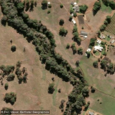
Preston River
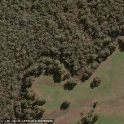
Margaret River
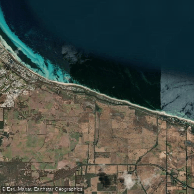
Tobys Inlet
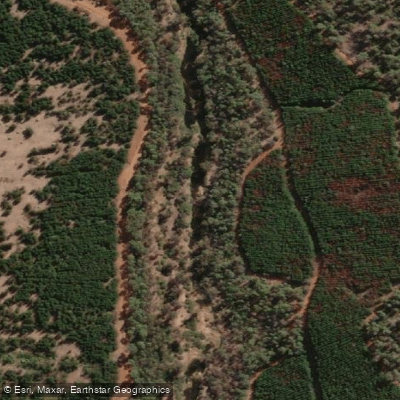
Blackwood River
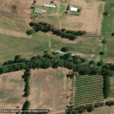
Collie River
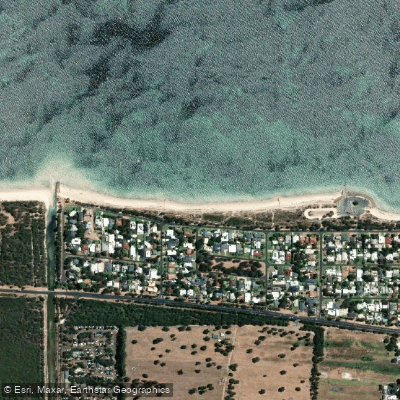
Abbey Beach
Capel River
Eagle Bay
Brunswick River
Explore Western Australia waters
Top paddling waters
No waters available right now.
Popular Cities
Loading popular cities...
Explore near Donnelly River

Smarter Paddling Starts in the App.
Paddleways gives you everything you need to plan smarter, paddle better, and own every trip from first launch to takeout.