Mardoowarra Fitzroy River
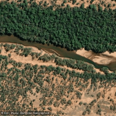
Mardoowarra Fitzroy River
- Boat Ramps
- 0
- Access Points
- 0
- Campsites
- 1
The Mardoowarra (also known as Martuwarra or Fitzroy River) is a large, unregulated river system in the western Kimberley region of far north Western Australia, draining into King Sound near the town of Derby. The catchment spans arid terrain for most of the year, with the wet season transforming the landscape dramatically as floodwaters swell the river and spread across vast floodplains.
The most commonly documented paddling route runs from the headwaters area near Kupungarri/Mount Barnett — accessed via the Barnett River, a tributary — downstream to Fitzroy Crossing, where the Great Northern Highway meets the river. This stretch covers roughly 100 miles and has been completed by expedition teams using rafts and packrafts over approximately 14 days. Access to the headwaters typically requires a light aircraft, with flights departing from Derby. Fitzroy Crossing serves as the standard takeout point.
The river's character varies considerably along its length. Upper sections involve significant whitewater, including large rapids with powerful hydraulics, dumping waves, vortices, and water funnelling into underwater caves. Flat, slow pools — some stretching seven to eight kilometres — alternate with these whitewater sections, making progress variable and at times demanding. During the wet season, the river overtops its banks and spreads across the floodplain, creating disorienting conditions where paddlers can easily lose sight of the main channel and become stranded in flooded vegetation.
Wildlife encountered on the river includes freshwater crocodiles, bat colonies, and various birds. Saltwater crocodiles have not been confirmed for the upper sections, though paddlers should verify current conditions with local authorities. The wet season, roughly from late December through March, is when the river runs at its highest and most powerful, and is the primary window for expedition-style paddling. Late in the wet season — around March — has been the timing used by documented expeditions.
Within Danggu Geikie Gorge National Park, private boats are restricted to before 7:30 am and after 4:30 pm to avoid conflict with commercial boat cruises, and camping within the park is not permitted. The gorge itself, located near Fitzroy Crossing, has also been paddled as a shorter day trip of around 12 kilometres.
The river holds deep cultural and spiritual significance for multiple Indigenous nations, and the Martuwarra Fitzroy River Council was established in 2018 to oversee the cultural and environmental governance of the catchment. Paddlers should be aware of this context and any protocols established by Traditional Owners when planning trips.
Water access, boat ramps & amenities
Learn how to get on Mardoowarra Fitzroy River. Uncover great paddling access points, boat ramps, and all the facilities you need for an unforgettable day on the water. Some locations shown may border or include private property. Always check property boundaries and applicable regulations before visiting. PaddleWays's Public & Private Land layer can help you plan your access with confidence.
Paddle smarter with real-time insights
Whether you're en route and conditions shift or you're looking for the best spot based on current flows, we enable you to make informed decisions on the fly.







Western Australia licenses and regulations

Find Places to Paddle

Over 400,000 Places to Paddle
Every user gets free access to launch points, boat ramps, and public property parcels.


Water and weather conditions (10 day forecast)
See the best times to paddle Mardoowarra Fitzroy River and check the forecast before you go.
Fitzroy River - Fitzroy Barragerd029
All Flow Stations
Paddling near Mardoowarra Fitzroy River
Lake Disappointment
Diamantina River
Lake Argyle
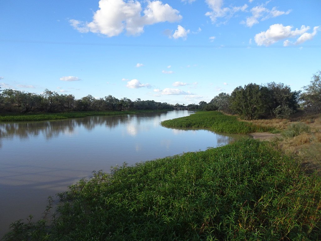
Thomson River
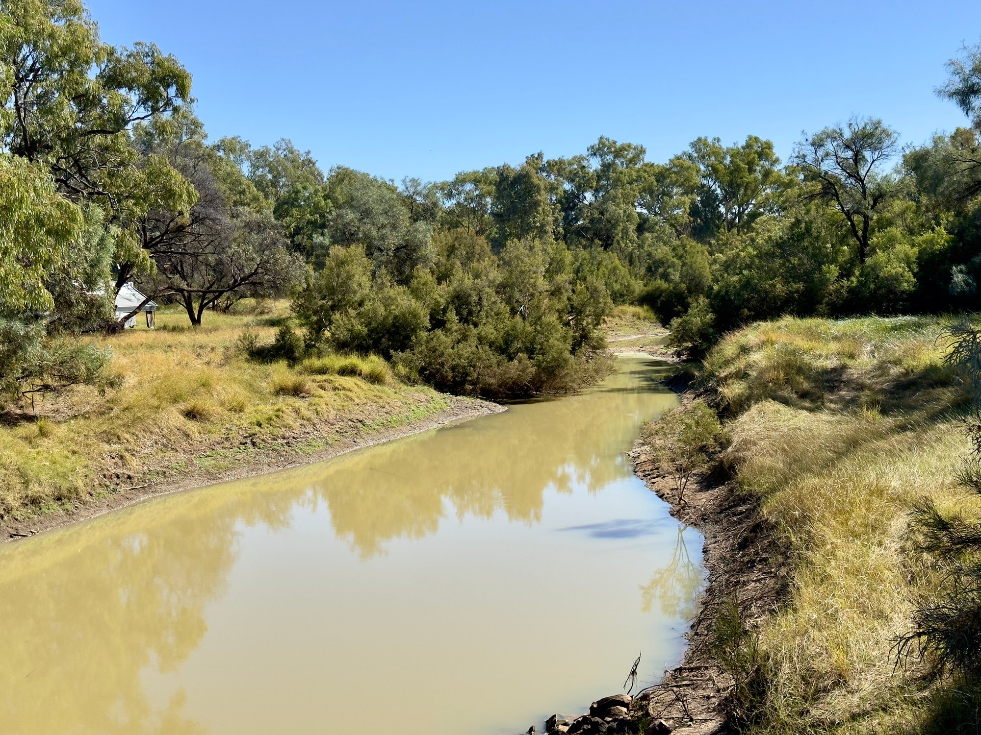
Barcoo River
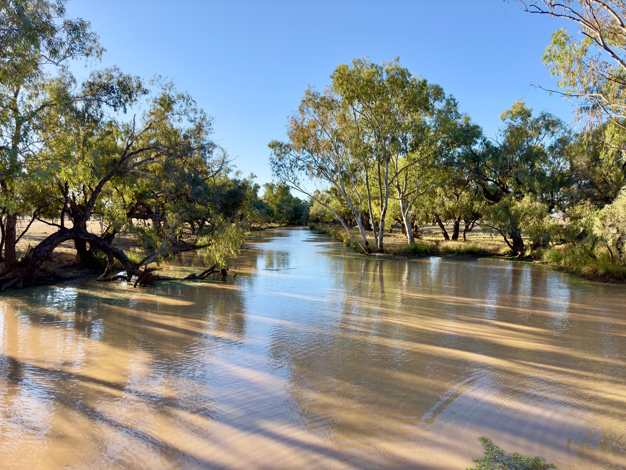
Bulloo River
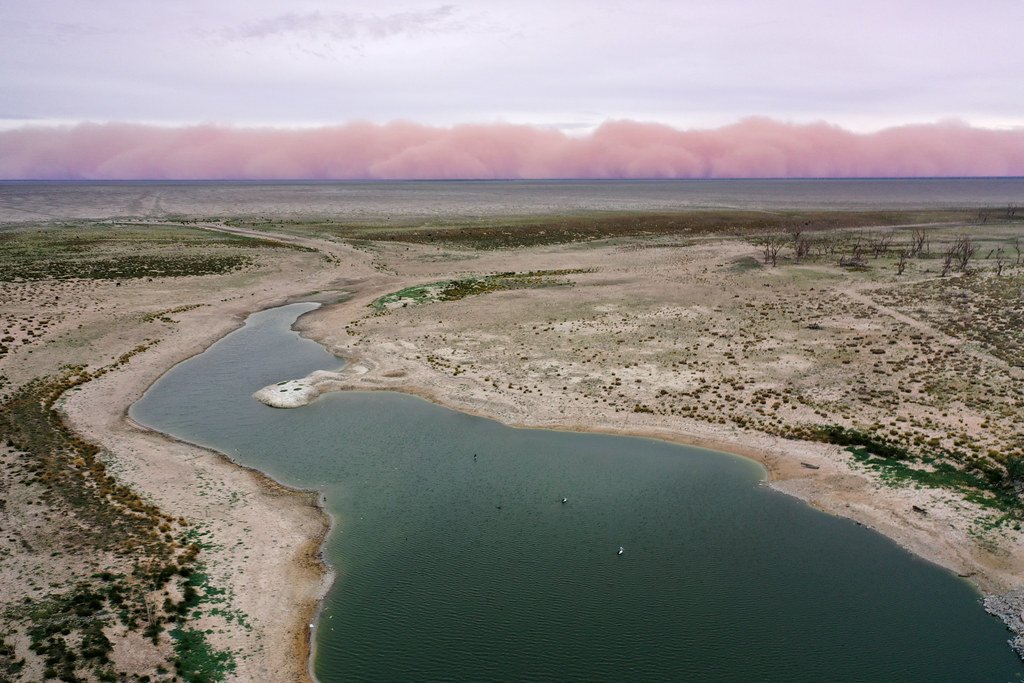
Lake Menindee
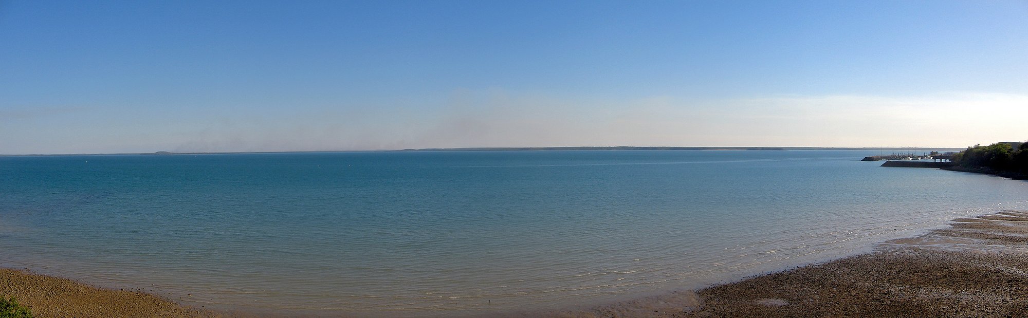
Darwin Harbour
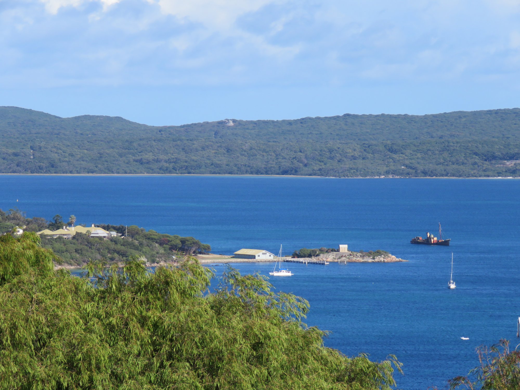
Princess Royal Harbour
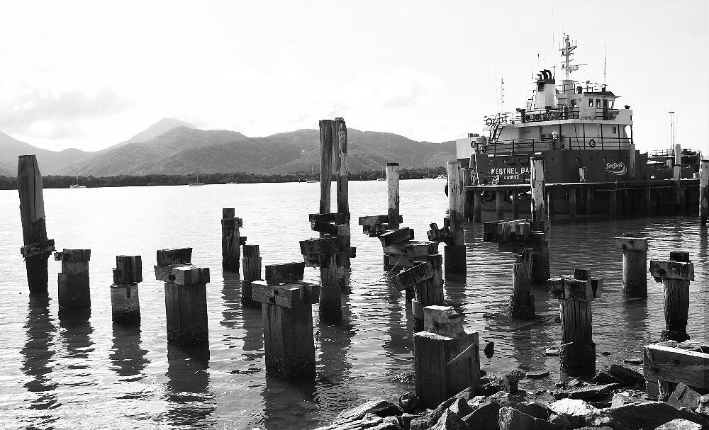
Trinity Inlet
Explore Western Australia waters
Top paddling waters
No waters available right now.
Popular Cities
Loading popular cities...
Explore near Mardoowarra Fitzroy River
Access points
Nearby waters
More in Western Australia

Smarter Paddling Starts in the App.
Paddleways gives you everything you need to plan smarter, paddle better, and own every trip from first launch to takeout.