Princess Royal Harbour
- Saltwater
- Estuary
Princess Royal Harbour
- Saltwater
- Estuary
- Sq. miles
- 11
- Boat Ramps
- 2
- Access Points
- 2
- Campsites
- 2
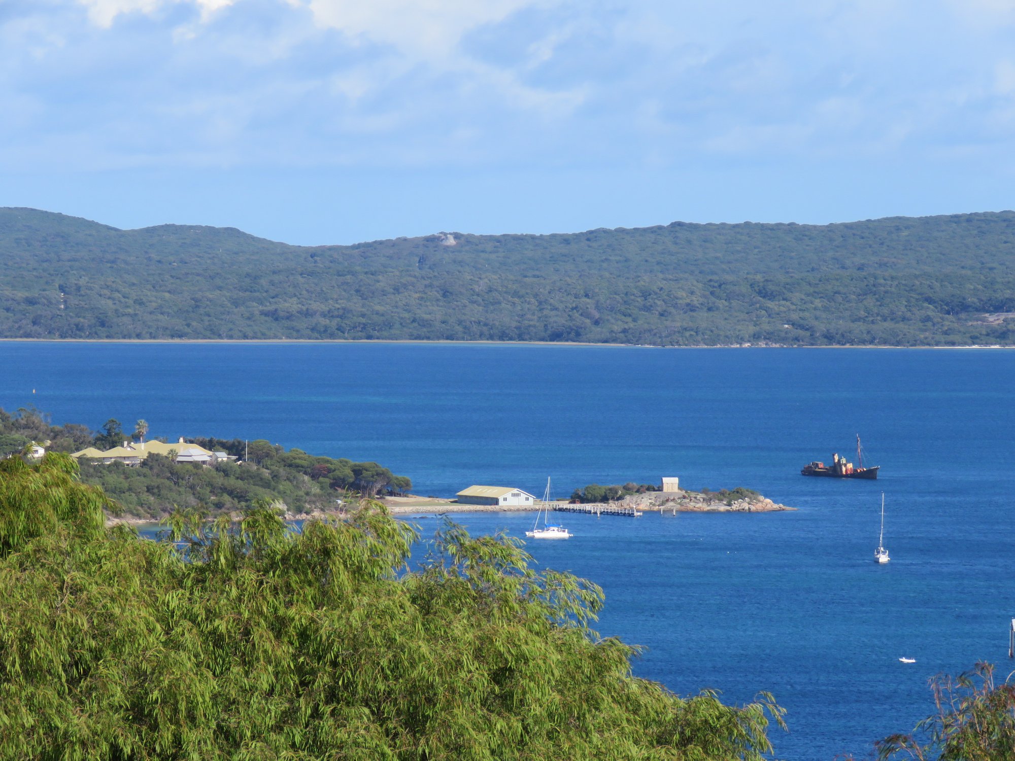
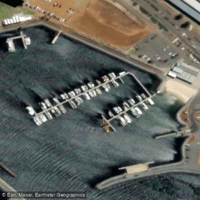
Princess Royal Harbour is a large, sheltered saltwater harbour adjacent to the city of Albany. It connects to the larger King George Sound via the Ataturk Channel. The harbour is a significant maritime area with a working port, featuring a deepwater jetty and shipping channel. For paddlers, the primary formal launch point is the sandy beach on the west side of the Emu Point Boat Harbour car park, which offers toilet and change room facilities. Another recommended launch is from the Albany Waterfront Marina area, accessible from Princess Royal Drive. The harbour's character is defined by its mix of industrial port activity, historic sites, and natural beauty, with views of Mount Clarence and Mount Adelaide framing the northern shores.
A specific 7-kilometer circuit paddle starts from Emu Point Boat Harbour. This route heads out through the marina, requiring awareness of boats and ships, then crosses the harbour southeast to the Cheynes II shipwreck, which is grounded in 3-4 meters of water. Paddlers can circle the wreck but should not board it. The route continues north past Camp Quaranup and its historic quarantine station jetty, where landing is not permitted, and onward past Inner Bramble Beach, which can be a safe landing spot for a rest at high tide. The area is known for wildlife; dolphins are regularly seen, and large rays and small fish can be observed in the shallows. Paddlers must be mindful of other water traffic, including water skiers and jet skis near Green Island, and should stay to the right in marked boating channels. The harbour is exposed to wind, and its open water can develop a fetch, so conditions can change. Tides influence access to certain areas like Inner Bramble Beach.
Water access, boat ramps & amenities
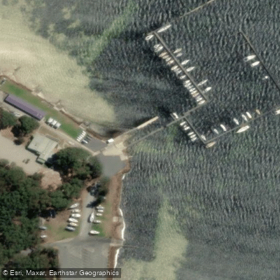
Learn how to get on Princess Royal Harbour. Uncover great paddling access points, boat ramps, and all the facilities you need for an unforgettable day on the water. Some locations shown may border or include private property. Always check property boundaries and applicable regulations before visiting. PaddleWays's Public & Private Land layer can help you plan your access with confidence.
Paddle smarter with real-time insights
Whether you're en route and conditions shift or you're looking for the best spot based on current flows, we enable you to make informed decisions on the fly.







Western Australia licenses and regulations

Find Places to Paddle

Over 400,000 Places to Paddle
Every user gets free access to launch points, boat ramps, and public property parcels.


Tides, wind & water conditions (10 day forecast)
On open water, wind and tide matter as much as the weather. See the best times to paddle Princess Royal Harbour and check the marine forecast before you launch.
Loading tide predictions…
Paddling near Princess Royal Harbour
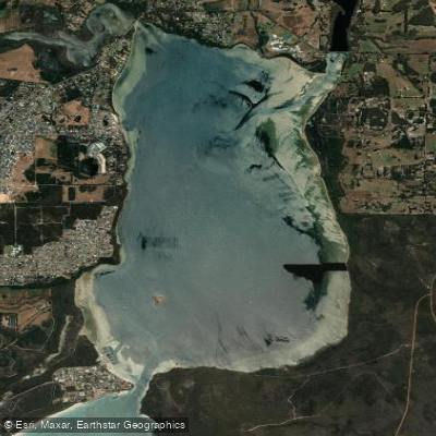
Oyster Harbour
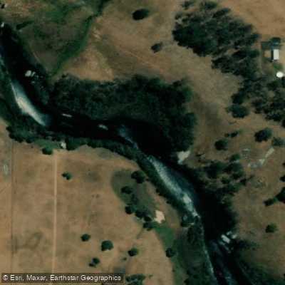
King River
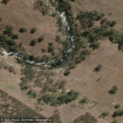
Kalgan River
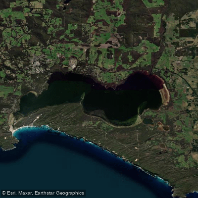
Wilson Inlet
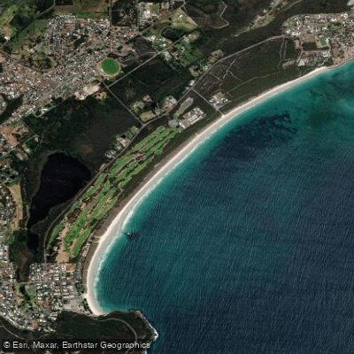
Middleton Beach
Hay River
Denmark River
Goode Beach
Waychinicup River
Explore Western Australia waters
Top paddling waters
No waters available right now.
Popular Cities
Loading popular cities...
Explore near Princess Royal Harbour

Smarter Paddling Starts in the App.
Paddleways gives you everything you need to plan smarter, paddle better, and own every trip from first launch to takeout.