Rio Oiapoque
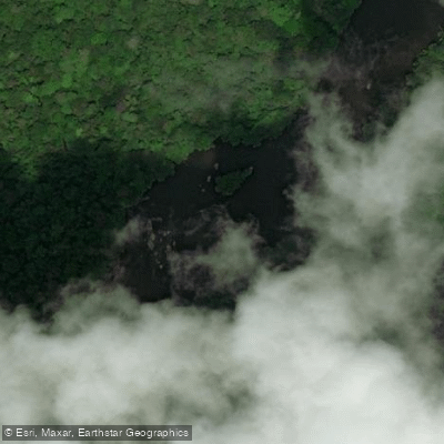
Rio Oiapoque
- Boat Ramps
- 1
- Access Points
- 0
- Campsites
- 1
The Rio Oiapoque is a 403-kilometre river in the far north of Amapá, Brazil, rising in the Tumucumaque mountain range and flowing northeast to empty into the Atlantic Ocean, where its estuary forms a large bay near Cape Orange. For its entire lower course, the river marks the international border between Brazil and the French overseas department of French Guiana, giving it a distinctive geopolitical character that paddlers should be aware of when planning any crossing or travel along its banks.
The river passes through the Guianan moist forests ecoregion, offering a landscape of dense Amazonian rainforest throughout much of its length. The current is notably strong in sections — strong enough that the visible power of the water is evident in videos of people attempting to swim across certain stretches. Rapids are present along the river, and body rafting through these sections occurs in the area. Paddlers should treat the current with serious respect, as conditions can be demanding.
The city of Oiapoque sits on the Brazilian bank of the river and serves as the primary hub for activity in the area. Traditional flat-bottomed boats known as Catraia are used locally for river crossings, carrying goods and passengers between the Brazilian and French Guianese sides. The Oyapock River Bridge, completed in 2011 and opened to traffic in 2017, connects Oiapoque with Saint-Georges on the French Guiana side. The river's proximity to the Cape Orange National Park, which covers over 6,500 square kilometres of coastal rainforest, adds ecological significance to the broader area. Oiapoque can be reached by air via the Oiapoque Airport, which is relevant for paddlers organizing logistics to this remote region.
Water access, boat ramps & amenities
Learn how to get on Rio Oiapoque. Uncover great paddling access points, boat ramps, and all the facilities you need for an unforgettable day on the water. Some locations shown may border or include private property. Always check property boundaries and applicable regulations before visiting. PaddleWays's Public & Private Land layer can help you plan your access with confidence.
Paddle smarter with real-time insights
Whether you're en route and conditions shift or you're looking for the best spot based on current flows, we enable you to make informed decisions on the fly.







Amapá licenses and regulations
No licenses or regulations available for Amapá.
Find Places to Paddle

Over 400,000 Places to Paddle
Every user gets free access to launch points, boat ramps, and public property parcels.


Water and weather conditions (10 day forecast)
See the best times to paddle Rio Oiapoque and check the forecast before you go.
Camopi
All Flow Stations
Paddling near Rio Oiapoque
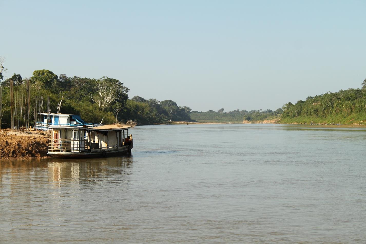
Rio Purus
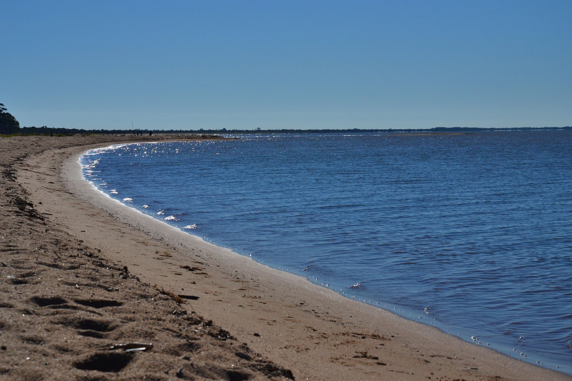
Lagoa Dos Patos
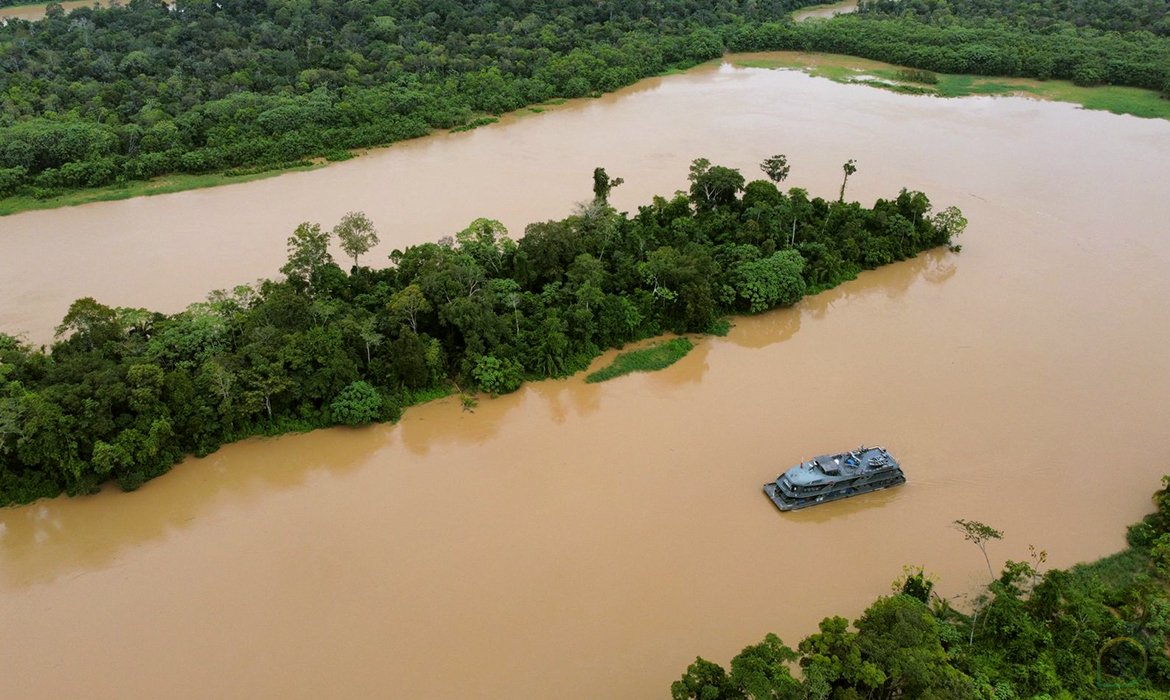
Rio Juruá
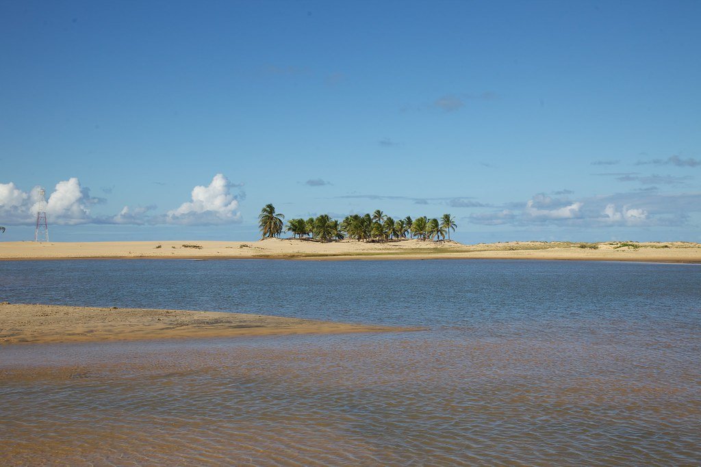
Rio São Francisco
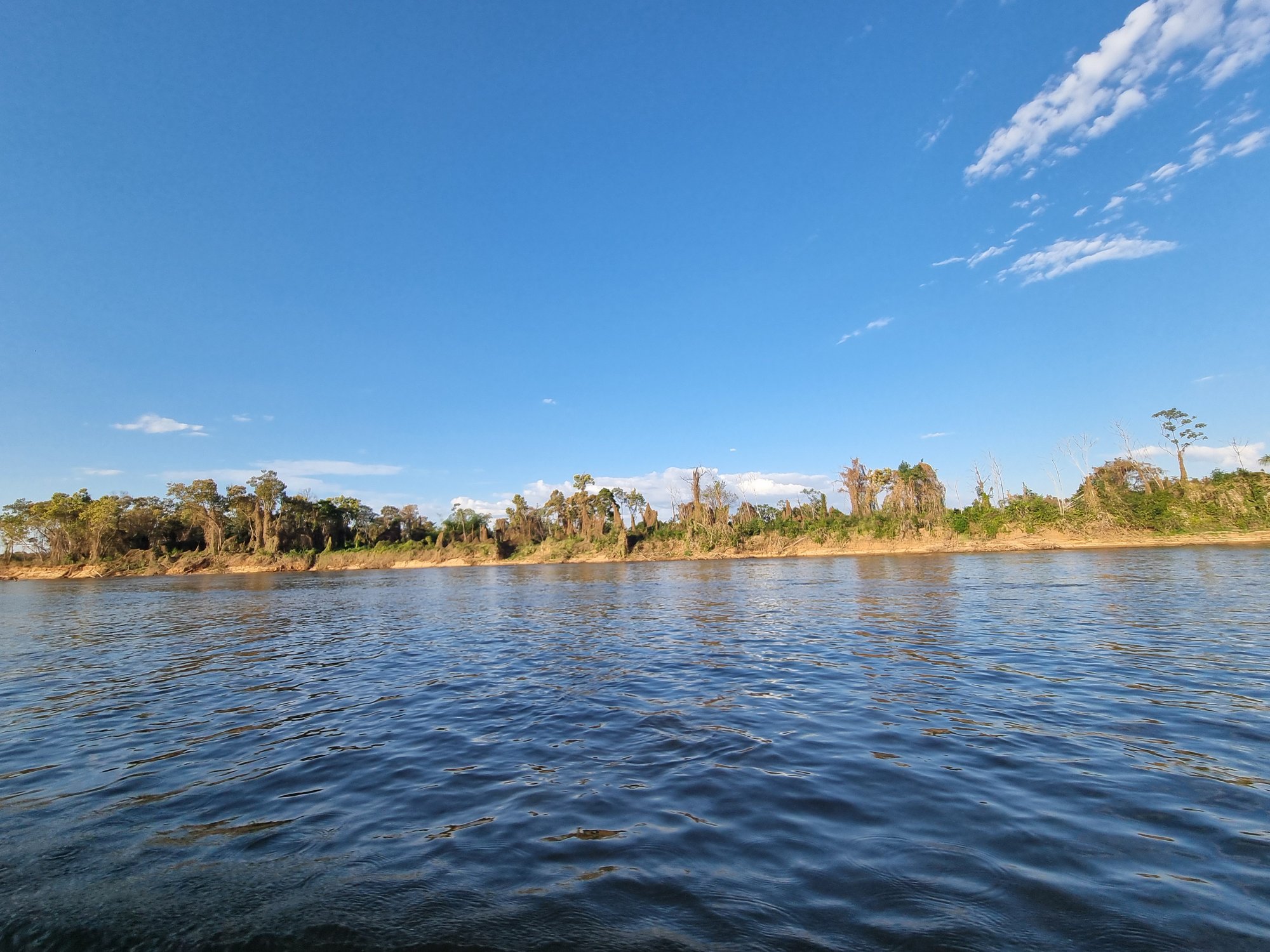
Rio Araguaia

Represa De Sobradinho
Rio Araguari
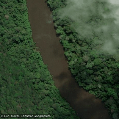
Rio Paru de Este
Rio Curuá
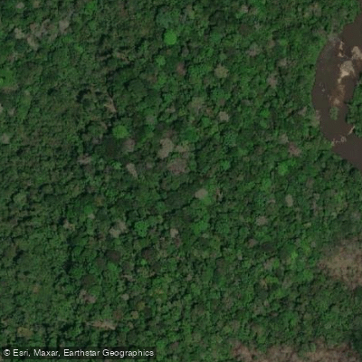
Rio Maicuru
Explore Amapá waters
Top paddling waters
No waters available right now.
Popular Cities
Loading popular cities...
Explore near Rio Oiapoque

Smarter Paddling Starts in the App.
Paddleways gives you everything you need to plan smarter, paddle better, and own every trip from first launch to takeout.