Sturgeon River
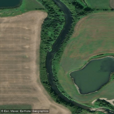
Sturgeon River
- Boat Ramps
- 2
- Access Points
- 0
- Campsites
- 0
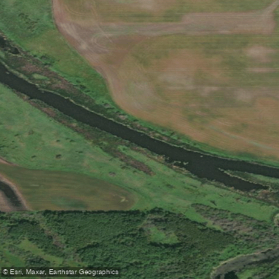
The Sturgeon River in Alberta flows eastward from Big Lake through downtown St. Albert before eventually joining the North Saskatchewan River. The river winds through a mix of urban and rural landscapes, passing city architecture in St. Albert before transitioning into more open countryside as it moves through Sturgeon County.
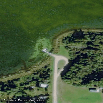
Several access points serve paddlers in the St. Albert area. The Riel Recreation Park (also called Riel Park) offers a canoe launch and dock and is one of the most commonly used put-ins. The Mission Boat Launch in downtown St. Albert provides another convenient entry point close to the city centre. A third option is on the south side of the river approximately 100 feet downstream from the Ray Gibbins Drive Bridge, accessible from the Kinsmen RV campground via a dirt trail. Entry conditions at most points involve some degree of muddy bank access, and the cement ramp near Mission Avenue does not extend fully to the water's edge.
One notable longer route runs from the Riel Canoe Launch in St. Albert downstream approximately 30–35 km to the Highway 28 bridge north of Namao, a trip that has taken paddlers roughly 6.5 hours on the water. A shorter, more accessible option is the roughly 2 km stretch between Big Lake and the trestle railway bridge near the ball diamonds and St. Albert Senior Citizens Club, which offers good birdwatching and reportedly decent fishing. Rural Rivers operates a guided 3 km self-guided rental route starting and ending at the Cunningham Bridge in Sturgeon County, on the northern section of the river before Big Lake.
The river is generally calm and considered suitable for paddlers of all skill levels, including beginners. The primary practical challenge is low water levels, particularly during summer months, which can result in extensive mud flats and insufficient depth to float a canoe — paddlers have reported as little as three inches of water beneath their keel in some sections. Spring, particularly May after snowmelt and runoff, is considered the best time to paddle, when water levels are at their highest and shallow sections become navigable. The river corridor supports a variety of waterfowl and other wildlife along its forested and open-field banks.
Rental equipment including canoes, single and tandem kayaks, paddles, lifejackets, throw ropes, bilge pumps, and whistles is available through local outfitters operating in the St. Albert and Sturgeon County area.
Water access, boat ramps & amenities
Learn how to get on Sturgeon River. Uncover great paddling access points, boat ramps, and all the facilities you need for an unforgettable day on the water. Some locations shown may border or include private property. Always check property boundaries and applicable regulations before visiting. PaddleWays's Public & Private Land layer can help you plan your access with confidence.
Paddle smarter with real-time insights
Whether you're en route and conditions shift or you're looking for the best spot based on current flows, we enable you to make informed decisions on the fly.







Ab licenses and regulations
No licenses or regulations available for Ab.
Find Places to Paddle

Over 400,000 Places to Paddle
Every user gets free access to launch points, boat ramps, and public property parcels.


Water and weather conditions (10 day forecast)
See the best times to paddle Sturgeon River and check the forecast before you go.
STURGEON RIVER NEAR FORT SASKATCHEWAN
All Flow Stations
Explore Ab waters
Top paddling waters
No waters available right now.
Popular Cities
Loading popular cities...
Explore near Sturgeon River

Smarter Paddling Starts in the App.
Paddleways gives you everything you need to plan smarter, paddle better, and own every trip from first launch to takeout.