Pipestone Creek
Pipestone Creek
- Boat Ramps
- 0
- Access Points
- 0
- Campsites
- 0
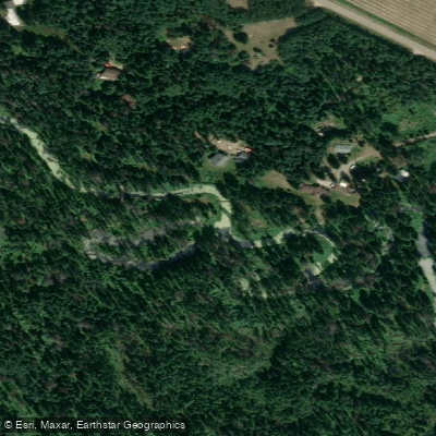
Pipestone Creek in Alberta offers two distinct paddling experiences depending on which section you choose to explore. The creek is associated with the Coal Lake area near Wetaskiwin, where it enters Coal Lake at the south end, as well as a longer prairie route running south of Gwynne to its confluence with the Battle River.
For paddlers accessing the Coal Lake section, there is a boat launch with a dock, good parking, and pit toilets available. The creek is characterized by tight, meandering turns and requires ducking under shrub branches in places. Beaver activity is significant along this stretch, with at least one large beaver dam roughly a foot higher than the creek level, along with additional obstacles that can block or complicate passage. Paddlers should be prepared to portage or maneuver around these features.
The Gwynne to Battle River section covers approximately 17 kilometres and typically takes five to six hours, including time off the water. The put-in is accessed just south of Gwynne on Highway 822, where the slope on the southwest side of the bridge provides a relatively easy launch point. The confluence with the Battle River occurs around 8 kilometres into the paddle. The recommended take-out is at Township Road 462A on the southwest side of the Bittern Lake South bridge, though paddlers should cross to the east side of the bridge to pull out boats. Stinging nettles are abundant at the take-out area. The shuttle between put-in and take-out is less than 15 minutes by vehicle. This route is described as suitable for any level of paddler, with enough variables to maintain interest. The valley along this section features hills with small patches of native prairie and notable plant diversity. The Edmonton and Area Land Trust maintains the Pipestone Creek natural area, which includes 5 kilometres of foot-traffic-only trails adjacent to the creek. The route can be extended by starting further upstream at the Coal Lake South campground.
Water access, boat ramps & amenities
Learn how to get on Pipestone Creek. Uncover great paddling access points, boat ramps, and all the facilities you need for an unforgettable day on the water. Some locations shown may border or include private property. Always check property boundaries and applicable regulations before visiting. PaddleWays's Public & Private Land layer can help you plan your access with confidence.
Paddle smarter with real-time insights
Whether you're en route and conditions shift or you're looking for the best spot based on current flows, we enable you to make informed decisions on the fly.







Ab licenses and regulations
No licenses or regulations available for Ab.
Find Places to Paddle

Over 400,000 Places to Paddle
Every user gets free access to launch points, boat ramps, and public property parcels.


Water and weather conditions (10 day forecast)
See the best times to paddle Pipestone Creek and check the forecast before you go.
PIPESTONE CREEK NEAR WETASKIWIN
All Flow Stations
Explore Ab waters
Top paddling waters
No waters available right now.
Popular Cities
Loading popular cities...
Explore near Pipestone Creek
More in Ab

Smarter Paddling Starts in the App.
Paddleways gives you everything you need to plan smarter, paddle better, and own every trip from first launch to takeout.