Atim Creek
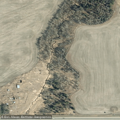
Atim Creek
- Boat Ramps
- 0
- Access Points
- 0
- Campsites
- 0
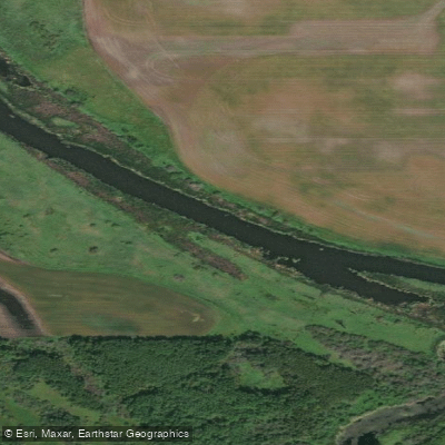
Atim Creek is a stream in central Alberta, located near St. Albert and Spruce Grove, roughly four miles west of Edmonton. It flows through the northeast corner of Parkland County before connecting to Big Lake and the Sturgeon River system. The creek's coordinates are approximately 53°36′N 113°46′W.
The most documented paddling use of Atim Creek involves informal access at the west end of Big Lake, where the creek provides a route onto the lake for canoe and kayak users. This access is described as limited and subject to seasonally changing water levels and ground conditions, meaning it is not consistently suitable for reaching the lake from this point. Paddlers considering this approach should account for variable conditions depending on the time of year.
Along its banks near Spruce Grove, the creek borders a 126-acre conservation site managed in partnership by the Alberta Conservation Association, Ducks Unlimited Canada, and the Government of Alberta. This area consists primarily of grasslands with a wooded section along the creek corridor. Wildlife in the vicinity includes white-tailed deer and upland birds. The creek also supports Northern pike, Yellow perch, and Walleye, making it a destination for anglers who access it at multiple points outside St. Albert and Spruce Grove, including bridge crossings.
The conservation site adjacent to the creek near Spruce Grove is designated for day use only, with no open fires permitted and foot access only — conditions that would limit any shore-based activities for paddlers stopping in that area.
Water access, boat ramps & amenities
Learn how to get on Atim Creek. Uncover great paddling access points, boat ramps, and all the facilities you need for an unforgettable day on the water. Some locations shown may border or include private property. Always check property boundaries and applicable regulations before visiting. PaddleWays's Public & Private Land layer can help you plan your access with confidence.
Paddle smarter with real-time insights
Whether you're en route and conditions shift or you're looking for the best spot based on current flows, we enable you to make informed decisions on the fly.







Ab licenses and regulations
No licenses or regulations available for Ab.
Find Places to Paddle

Over 400,000 Places to Paddle
Every user gets free access to launch points, boat ramps, and public property parcels.


Water and weather conditions (10 day forecast)
See the best times to paddle Atim Creek and check the forecast before you go.
ATIM CREEK AT CENTURY ROAD
Explore Ab waters
Top paddling waters
No waters available right now.
Popular Cities
Loading popular cities...
Explore near Atim Creek

Smarter Paddling Starts in the App.
Paddleways gives you everything you need to plan smarter, paddle better, and own every trip from first launch to takeout.