Blindman River
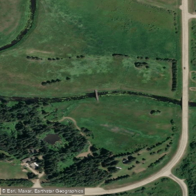
Blindman River
- Boat Ramps
- 0
- Access Points
- 0
- Campsites
- 2
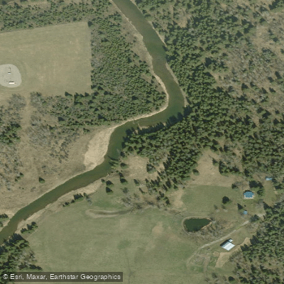
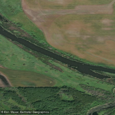
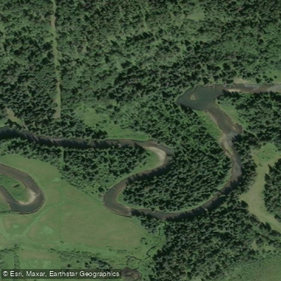
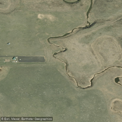
The Blindman River in central Alberta drains nearly 3,000 square kilometres across the counties of Lacombe, Ponoka, Red Deer, and Wetaskiwin, originating in swampy areas near Rimbey and flowing east to join the Red Deer River at Burbank, just east of Blackfalds. The river is more creek than river in character — the main channel is often only 4 to 5 metres wide, winding through farmland and patches of poplar and willow.
Two distinct sections are commonly paddled. The upper route begins at the Highway 12 bridge northwest of Rimbey Provincial Park South and runs approximately 72 kilometres over three days to the Highway 2A bridge, with one portage of 100 metres around a 2-metre-high weir located about 3 kilometres upstream of Bentley Bridge. Beyond the Highway 2A bridge, the river becomes more technical with gravel bars, tight bends, and waves, and is considered suitable only for paddlers experienced in whitewater. The lower section runs roughly 6 kilometres from Blackfalds to the confluence with the Red Deer River at Burbank, rated novice and typically completed in 1.5 to 4 hours depending on water levels and the number of beaver dams encountered.
On the lower section, expect numerous riffles and rock gardens, with one or two small rapids reaching Class 1+. Sweepers line the banks in places, and beaver dams are common — more than six have been reported in a single trip — requiring lifting over or dragging through. No formal portages are designated. Average flows drop from around 6 m³/s in spring to less than 1 m³/s by late summer; flood peaks of 15 to 20 m³/s recede quickly. At flows around 3 m³/s the primary challenge is running aground in rock gardens; below that, hauling over gravel bars becomes frequent. Spring and early summer are the recommended paddling seasons when flows are adequate.
The lower section finishes at Burbank Campground, operated by the Lacombe Fish and Game Association, which offers parking, washrooms, and river access. From Burbank, paddlers can continue downstream on the Red Deer River to Joffre Bridge, approximately 20 kilometres further east. Note that the day-use area at Burbank Campground requires contacting staff to access the gate for vehicle retrieval.
Water quality on the Blindman is a known concern. Agricultural runoff, including phosphates and nitrates from cattle, causes algae growth along the riverbed by midsummer. The river also contains notable fossil beds near its confluence with the Red Deer, with leaf fossils approximately 50 million years old embedded in limestone and sandstone. Wildlife along the corridor includes deer, beavers, hawks, ducks, and songbirds.
Water access, boat ramps & amenities
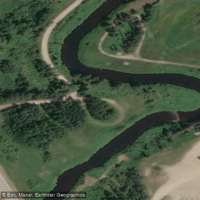
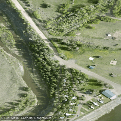
Learn how to get on Blindman River. Uncover great paddling access points, boat ramps, and all the facilities you need for an unforgettable day on the water. Some locations shown may border or include private property. Always check property boundaries and applicable regulations before visiting. PaddleWays's Public & Private Land layer can help you plan your access with confidence.
Paddle smarter with real-time insights
Whether you're en route and conditions shift or you're looking for the best spot based on current flows, we enable you to make informed decisions on the fly.







Ab licenses and regulations
No licenses or regulations available for Ab.
Find Places to Paddle

Over 400,000 Places to Paddle
Every user gets free access to launch points, boat ramps, and public property parcels.


Water and weather conditions (10 day forecast)
See the best times to paddle Blindman River and check the forecast before you go.
BLINDMAN RIVER NEAR BLACKFALDS
All Flow Stations
Explore Ab waters
Top paddling waters
No waters available right now.
Popular Cities
Loading popular cities...
Explore near Blindman River

Smarter Paddling Starts in the App.
Paddleways gives you everything you need to plan smarter, paddle better, and own every trip from first launch to takeout.