Fallentimber Creek
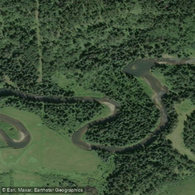
Fallentimber Creek
- Boat Ramps
- 0
- Access Points
- 0
- Campsites
- 2
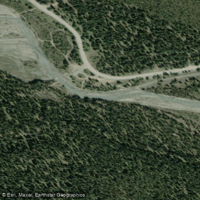
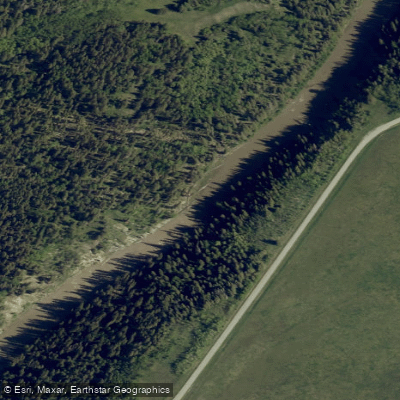
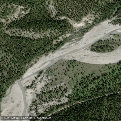
Fallentimber Creek is a foothills stream in Alberta, flowing near Sundre and draining into the Red Deer River system. The creek is monitored by a seasonal hydrometric station (station 05CA012) near Sundre, reflecting the seasonal nature of flows in this region. The creek passes through rolling foothills terrain characterized by riparian corridors, and features notable structure including deep pools throughout its length.
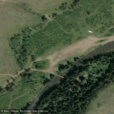
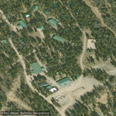
Two provincial recreation areas are situated along the creek. Fallen Timber Provincial Recreation Area (the northern site) explicitly lists canoeing and kayaking among its activities, making it a confirmed access point for paddlers. Fallen Timber South Provincial Recreation Area also sits along the creek and offers camping, though its listed activities do not specifically include paddling. Both campgrounds provide a base for time on the water, with the northern recreation area being the more relevant option for paddlers.
The creek supports populations of brown trout, brook trout, mountain whitefish, northern pike, and rainbow trout. Cattle exclusion fencing along portions of the creek has been implemented to improve riparian and instream habitat quality. The surrounding landscape is Crown grazing lease land in places, and paddlers should be aware that access to lands beyond the riparian corridor may require landowner permission.
The creek corridor also sees OHV and snowmobile activity in the surrounding area, as both recreation areas serve as staging points for off-highway vehicle trails. Paddlers planning a trip should account for this multi-use context when timing visits.
Water access, boat ramps & amenities
Learn how to get on Fallentimber Creek. Uncover great paddling access points, boat ramps, and all the facilities you need for an unforgettable day on the water. Some locations shown may border or include private property. Always check property boundaries and applicable regulations before visiting. PaddleWays's Public & Private Land layer can help you plan your access with confidence.
Paddle smarter with real-time insights
Whether you're en route and conditions shift or you're looking for the best spot based on current flows, we enable you to make informed decisions on the fly.







Ab licenses and regulations
No licenses or regulations available for Ab.
Find Places to Paddle

Over 400,000 Places to Paddle
Every user gets free access to launch points, boat ramps, and public property parcels.


Water and weather conditions (10 day forecast)
See the best times to paddle Fallentimber Creek and check the forecast before you go.
FALLENTIMBER CREEK NEAR SUNDRE
Paddling near Fallentimber Creek
Explore Ab waters
Top paddling waters
No waters available right now.
Popular Cities
Loading popular cities...
Explore near Fallentimber Creek

Smarter Paddling Starts in the App.
Paddleways gives you everything you need to plan smarter, paddle better, and own every trip from first launch to takeout.