Red Deer River
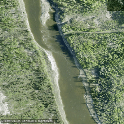
Red Deer River
- Boat Ramps
- 7
- Access Points
- 0
- Campsites
- 6
The Red Deer River originates in the Sawback Range within the Rocky Mountains on the eastern slopes of Banff National Park, flowing eastward through the foothills and across the prairies before joining the South Saskatchewan River near the Alberta-Saskatchewan border. The river passes through the city of Red Deer and the Canadian Badlands, offering paddlers a diverse range of experiences across its length.
The lower river, from roughly Content Bridge through to the Drumheller area and beyond, is the most popular paddling corridor and is considered beginner and family friendly. This section features Class I conditions with occasional rock dodging, and is suitable for canoes, kayaks, rafts, SUPs, and packrafts. Headwinds can be strong in exposed sections, particularly near Tolman Bridge and Bleriot Ferry, and water levels in late summer can run low enough to require dragging boats through shallows. The upper reach, downstream from Dickson Dam, offers Grade II to III whitewater with the Double Ledge reaching Grade IV at higher flows, attracting a broader range of paddlers including those from neighboring provinces and the United States.
Key access points along the lower river include Content Bridge, Trenville Park, McKenzie Crossing Bridge, Dry Island Buffalo Jump Provincial Park, Tolman Bridge (with a campground), Morrin Bridge (Starland Recreation Area), Bleriot Ferry Provincial Recreation Area, Drumheller (Newcastle Beach Park), Emerson Bridge, Steveville Bridge, and Dinosaur Provincial Park. Distances between these points range from roughly 8 to 30 kilometres, making it straightforward to plan single or multi-day trips. Popular segments include Content Bridge to McKenzie Crossing (37 km), Dry Island Buffalo Jump to Tolman Bridge (14 km), and Tolman Bridge to Morrin Bridge (23 km).
The river flows through dramatic badlands terrain, including hoodoos, canyon walls, and exposed fossil-bearing sediments, particularly in the Drumheller area. Dry Island Buffalo Jump Provincial Park is a notable landmark along the route. Camping is available at several provincial parks and recreation areas, though random camping is not permitted within Dry Island Buffalo Jump. Competition for prime campsites can be significant on busy weekends. The river corridor passes through a mix of provincial parkland and private ranching and farmland. A free multi-day paddling guide for the Canadian Badlands section is available through Paddle Alberta.
Water access, boat ramps & amenities
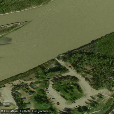
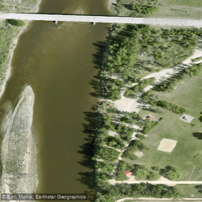
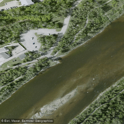
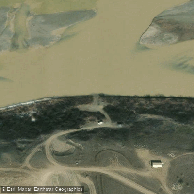
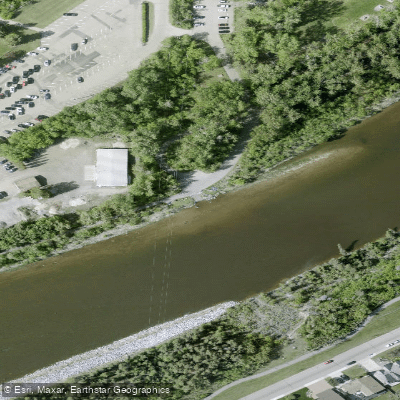
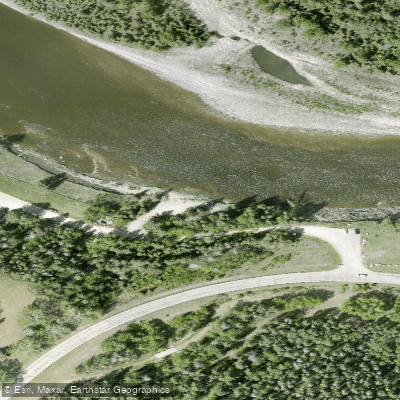
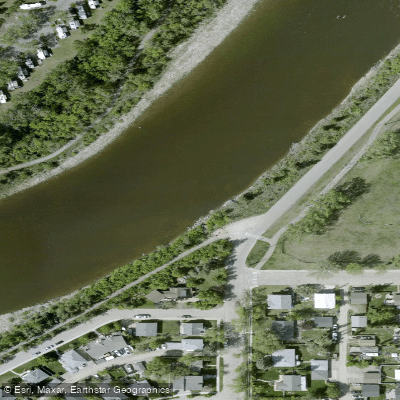
Learn how to get on Red Deer River. Uncover great paddling access points, boat ramps, and all the facilities you need for an unforgettable day on the water. Some locations shown may border or include private property. Always check property boundaries and applicable regulations before visiting. PaddleWays's Public & Private Land layer can help you plan your access with confidence.
Paddle smarter with real-time insights
Whether you're en route and conditions shift or you're looking for the best spot based on current flows, we enable you to make informed decisions on the fly.







Ab licenses and regulations
No licenses or regulations available for Ab.
Find Places to Paddle

Over 400,000 Places to Paddle
Every user gets free access to launch points, boat ramps, and public property parcels.


Water and weather conditions (10 day forecast)
See the best times to paddle Red Deer River and check the forecast before you go.
RED DEER RIVER AT RED DEER
All Flow Stations
Paddling near Red Deer River
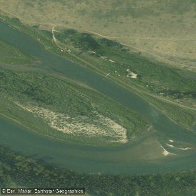
Bow River
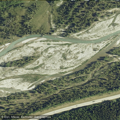
Elbow River
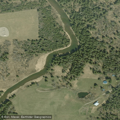
Little Red Deer River
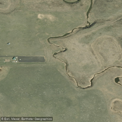
Rosebud River
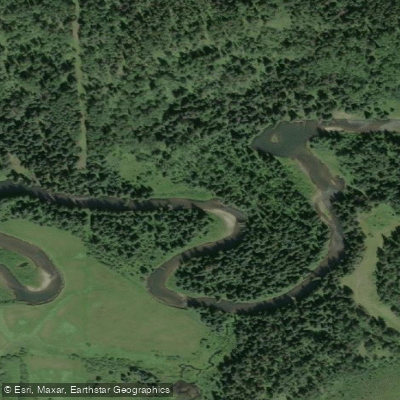
Fallentimber Creek
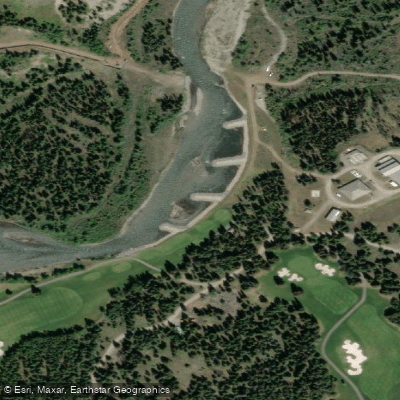
Kananaskis River
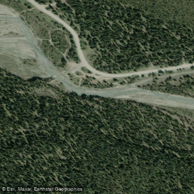
Waiparous Creek
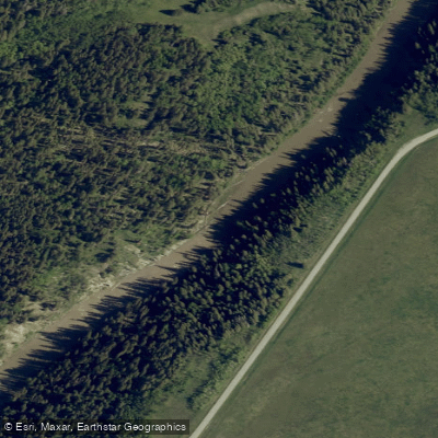
Sheep River
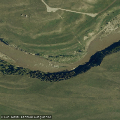
Highwood River
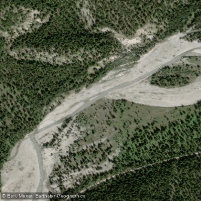
Little Elbow River
Explore Ab waters
Top paddling waters
No waters available right now.
Popular Cities
Loading popular cities...
Explore near Red Deer River
Access points
Nearby waters
More in Ab

Smarter Paddling Starts in the App.
Paddleways gives you everything you need to plan smarter, paddle better, and own every trip from first launch to takeout.