Drywood Creek
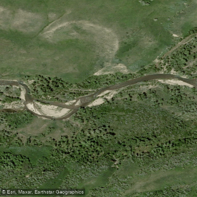
Drywood Creek
- Boat Ramps
- 0
- Access Points
- 0
- Campsites
- 0
Drywood Creek refers to two distinct runs in the Castle Park area of southwest Alberta — North Drywood Creek and South Drywood Creek — both located near the Pincher Creek Shell plant on the front range mountains. These are short-season, low-volume creek runs that attract experienced and elite whitewater paddlers during a narrow spring window.
The paddling season on these front range canyon creeks typically spans only about two weeks in spring, generally falling somewhere between May 20 and June 20 depending on when peak runoff occurs. The South Drywood Creek road is gated and does not open until June 15 each year, which often falls after the peak runoff season, meaning optimal flows may already be declining by the time vehicle access becomes available. For South Drywood, paddlers willing to make the roughly 5 km hike up the road in just over an hour can gain early-season access when flows are at their best and have the mountain valley to themselves. North Drywood similarly requires a hike of approximately 3 km up a good gravel road to reach the put-in.
South Drywood Creek begins at the put-in with a notable 20-foot cascading waterfall dropping into a tight pool, setting the tone for a technical run. North Drywood is described as very low volume. Both creeks are among a group of three or four short-season runs in the area and are listed among the notable paddling destinations within Castle Park. The North Drywood valley is also a popular rock climbing area.
Access to South Drywood is subject to the gated road restriction, with the road remaining closed until June 15 annually. The Alberta Whitewater Association has identified both North and South Drywood Creek as access points of concern regarding continued paddler access within the Castle Park management framework. These runs are considered challenging and are frequented by elite paddlers from across western Canada during the brief optimal season.
Water access, boat ramps & amenities
Learn how to get on Drywood Creek. Uncover great paddling access points, boat ramps, and all the facilities you need for an unforgettable day on the water. Some locations shown may border or include private property. Always check property boundaries and applicable regulations before visiting. PaddleWays's Public & Private Land layer can help you plan your access with confidence.
Paddle smarter with real-time insights
Whether you're en route and conditions shift or you're looking for the best spot based on current flows, we enable you to make informed decisions on the fly.







Ab licenses and regulations
No licenses or regulations available for Ab.
Find Places to Paddle

Over 400,000 Places to Paddle
Every user gets free access to launch points, boat ramps, and public property parcels.


Water and weather conditions (10 day forecast)
See the best times to paddle Drywood Creek and check the forecast before you go.
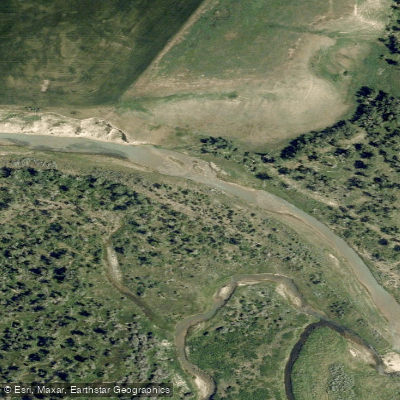
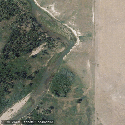
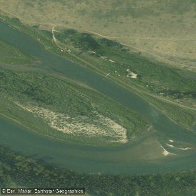
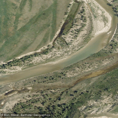
DRYWOOD CREEK NEAR THE MOUTH
Explore Ab waters
Top paddling waters
No waters available right now.
Popular Cities
Loading popular cities...
Explore near Drywood Creek

Smarter Paddling Starts in the App.
Paddleways gives you everything you need to plan smarter, paddle better, and own every trip from first launch to takeout.