Bow River
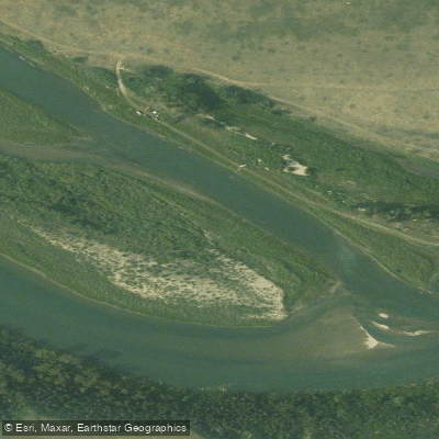
Bow River
- Boat Ramps
- 15
- Access Points
- 0
- Campsites
- 6
The Bow River in Alberta flows from glacial origins in the Rocky Mountains through Banff National Park, the Bow Valley, and the city of Calgary before continuing east. The character of the river changes considerably along its length, ranging from gentle flatwater suitable for beginners to more technical whitewater sections.
In Banff National Park, the river runs with distinctive aquamarine glacial water and offers calm paddling with mountain backdrops. The Banff Canoe Club operates a dock at the corner of Bow Avenue and Wolf Street in Banff, providing canoe, kayak, and SUP rentals on a first-come, first-served basis. Paddling in Banff National Park requires a Parks Canada pass rather than a paddling-specific permit. The river here is accessible from May through October, with the season closing in winter months. Wildlife along this stretch can include beavers, osprey, elk, and bears.
Above Banff, the section below Hector Lake offers approximately Grade 2 difficulty. Paddlers access this stretch by parking at the Hector Lake access point and walking roughly 1 km down a rooty trail to where the Bow meets Hector Lake. Note that the Bow watershed above Hector Lake is closed to paddling. Downed logs requiring portage are a known hazard on this upper stretch.
Through Cochrane, the river offers a short beginner-friendly float between the Highway 22 Bridge and Jack Tenant Bridge, typically taking 15 to 40 minutes depending on flows. Higher flows increase speed and shorten trip duration; lower flows can expose shallow areas on the inside of bends.
The Ghost Dam to Cochrane section is classified as a whitewater stretch. Within Calgary, the river is largely Class I with some Class II features. Harvie Passage offers a man-made whitewater course with a Class II right channel and a Class IV left channel. Bowness Park provides good beginner eddies. The primary hazards throughout the Calgary reach are bridge pillars, wood snags, cold water, and elevated spring runoff flows.
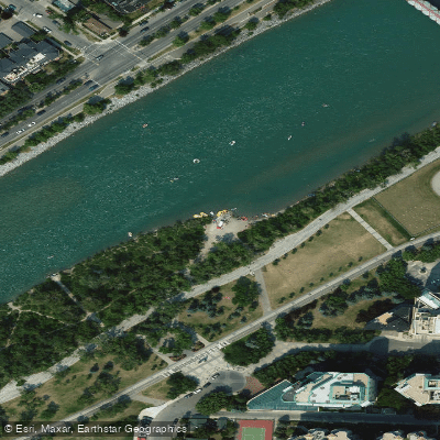
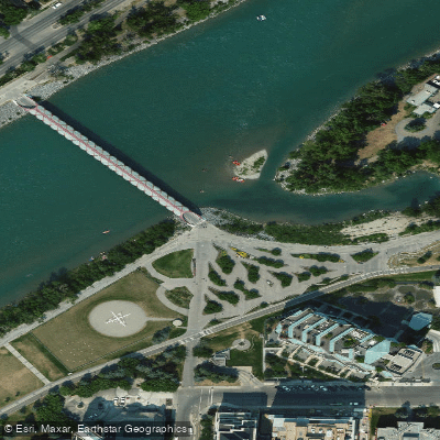
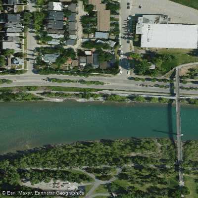
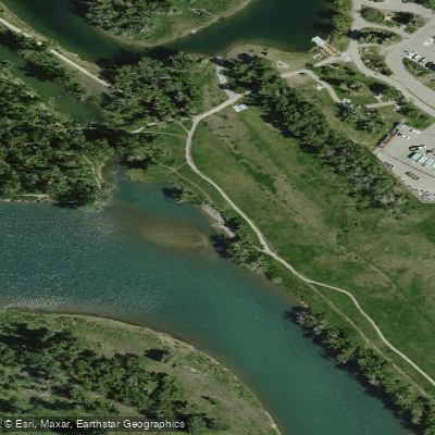
Calgary has numerous designated access points including West Baker Park, Shouldice Bridge, Sunnyside, St. Patrick's Island, Harvie Passage, Graves Bridge (Glenmore Trail), Ogden, Carburn Park, Douglasdale, Fish Creek-Sikome, and Policeman's Flats. Estimated float times between these points range from one hour for shorter segments to nine hours for longer runs. Some access points, including 22X and McKinnon Flats, are located within protected parkland and have seasonal closures.
Water access, boat ramps & amenities
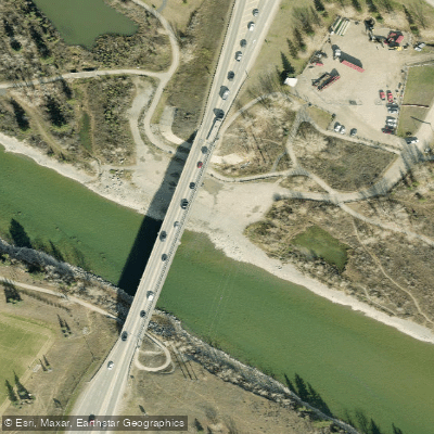
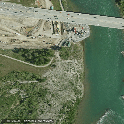
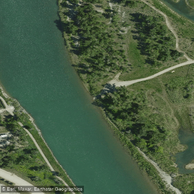
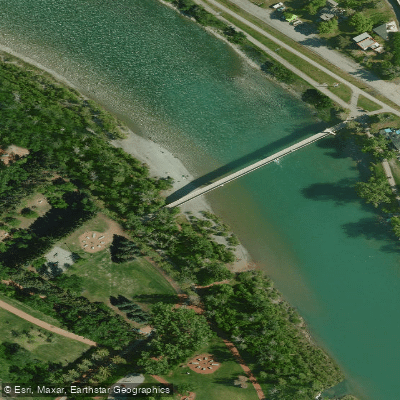
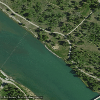
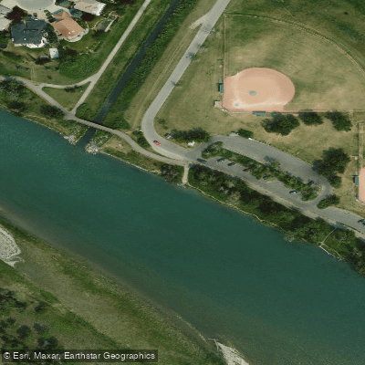
Learn how to get on Bow River. Uncover great paddling access points, boat ramps, and all the facilities you need for an unforgettable day on the water. Some locations shown may border or include private property. Always check property boundaries and applicable regulations before visiting. PaddleWays's Public & Private Land layer can help you plan your access with confidence.
Paddle smarter with real-time insights
Whether you're en route and conditions shift or you're looking for the best spot based on current flows, we enable you to make informed decisions on the fly.







Ab licenses and regulations
No licenses or regulations available for Ab.
Find Places to Paddle

Over 400,000 Places to Paddle
Every user gets free access to launch points, boat ramps, and public property parcels.


Water and weather conditions (10 day forecast)
See the best times to paddle Bow River and check the forecast before you go.
BOW RIVER AT LAKE LOUISE
All Flow Stations
Paddling near Bow River
Explore Ab waters
Top paddling waters
No waters available right now.
Popular Cities
Loading popular cities...
Explore near Bow River
Access points
Nearby waters
More in Ab

Smarter Paddling Starts in the App.
Paddleways gives you everything you need to plan smarter, paddle better, and own every trip from first launch to takeout.