North Milk River
North Milk River
- Boat Ramps
- 0
- Access Points
- 0
- Campsites
- 0
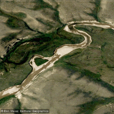
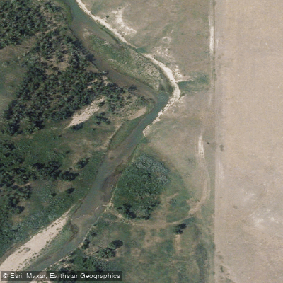
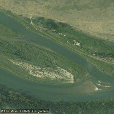
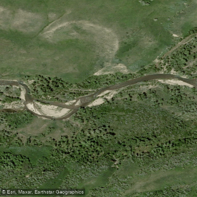
The North Milk River in Alberta is accessed at the bridge on Highway 62, a few kilometres north of the hamlet of Del Bonita. A rustic campsite sits beside this put-in, equipped with two shelters, outhouses, mowed grass for tenting, and stocked firewood at the newer shelter. Hedgerows of shrubs provide some wind protection, though there are no trees. Cell service may be limited or absent at this location.
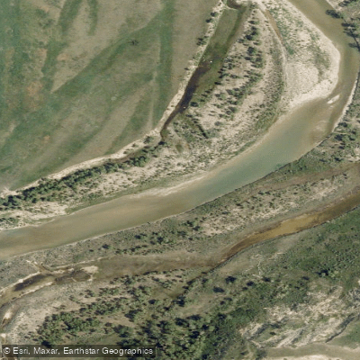
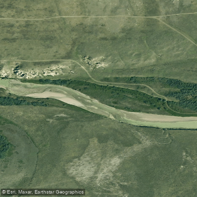
The standard route runs approximately 44 kilometres east to Writing-on-Stone Provincial Park (Aissinai'pi), a UNESCO World Heritage Site. The park offers a canoe landing ramp, visitor centre, campground, and store as the primary take-out. Paddlers can leave vehicles in the overflow parking area near the visitor centre for the duration of the trip, provided they register with park staff and supply their licence plate numbers and expected return date. An intermediate take-out option exists at the Weir Bridge, downstream of a feature called Poverty Rock, which has a shelter and benches, though the landing there is muddy.
The river transitions in character along the route. The upper section includes rapids near Poverty Rock, after which the current slows and the terrain shifts dramatically. Hoodoos and sandstone formations carved by wind and rain rise from the riverbanks in the lower stretch approaching Writing-on-Stone, making this the most visually striking and technically easiest section of the trip. The overall journey takes roughly 2.5 days from Del Bonita to the Town of Milk River, with Writing-on-Stone lying beyond.
Drinking water is a significant logistical consideration. The river water is silty and of uncertain quality and should not be relied upon. Paddlers are advised to carry at least 5 litres per person per day and to keep a separate 2-litre container accessible while on the water, as large jugs secured in a canoe are difficult to reach while paddling. Water resupply points are available at the Town of Milk River, Gold Springs Park, and Writing-on-Stone Provincial Park.
Water access, boat ramps & amenities
Learn how to get on North Milk River. Uncover great paddling access points, boat ramps, and all the facilities you need for an unforgettable day on the water. Some locations shown may border or include private property. Always check property boundaries and applicable regulations before visiting. PaddleWays's Public & Private Land layer can help you plan your access with confidence.
Paddle smarter with real-time insights
Whether you're en route and conditions shift or you're looking for the best spot based on current flows, we enable you to make informed decisions on the fly.







Ab licenses and regulations
No licenses or regulations available for Ab.
Find Places to Paddle

Over 400,000 Places to Paddle
Every user gets free access to launch points, boat ramps, and public property parcels.


Water and weather conditions (10 day forecast)
See the best times to paddle North Milk River and check the forecast before you go.
No forecast data available.
Explore Ab waters
Top paddling waters
No waters available right now.
Popular Cities
Loading popular cities...
Explore near North Milk River

Smarter Paddling Starts in the App.
Paddleways gives you everything you need to plan smarter, paddle better, and own every trip from first launch to takeout.