Oldman River
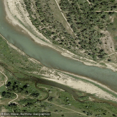
Oldman River
- Boat Ramps
- 0
- Access Points
- 0
- Campsites
- 0
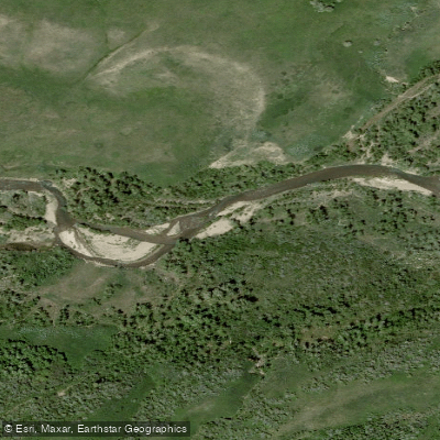
The Oldman River in Alberta, Canada flows from its mountain origins in the foothills south of the Livingstone Range, through the prairies of southern Alberta, eventually joining the Bow River. The river offers a wide range of paddling experiences depending on which section is chosen, from technical whitewater in the upper reaches to relaxed flatwater prairie paddling downstream.
The upper Oldman, accessed via Highway 940 (the Forestry Trunk Road) approximately 45 km north of Crowsnest Pass, is a technical Class II-plus to Class III run. The put-in is at the Oldman River North Provincial Recreation Area, which offers a hand pump, pit toilets, and rustic camping on gravel. Above the confluence with the Livingstone River, the channel is smaller in volume with tight bends through wooded banks that can trap logs, making scouting of blind corners standard practice. Below the Livingstone confluence, volume roughly doubles, producing larger drops and hidden ledges that change character significantly with water level. The upper section is snowmelt-driven and runs from late spring through early summer.
Further downstream, the lower Oldman tailwater below Three Rivers Dam holds a self-sustaining population of cutthroat, rainbow, brown, and bull trout. Good foot access exists directly below the dam at Cottonwood Campground and approximately 5 miles below the dam at Summerview Bridge on Highway 785. There is a good half-day float from the bridge just below the dam to Summerview Bridge, described as easy water suitable for inflatable or hard-sided boats. Note that the river enters the Peigan Indian Reservation approximately 7 miles below the dam, where access is not permitted.
The middle and lower prairie sections — including the popular Monarch to Lethbridge stretch of approximately 52 kilometres and the Nolan's Bridge to Taber stretch of approximately 44 kilometres — offer relaxed flatwater paddling through cottonwood-lined banks, sandstone walls, and farm fields. The recommended flow range for the lower prairie sections is 56 to 227 cubic metres per second; current flow data is available through Alberta River Basins. A notable hazard near the Highway 2 put-in includes submerged chunks of broken concrete approximately 1 kilometre downstream, where paddlers should stay left. A weir requiring a portage of approximately 700 metres is also present on the Fort Macleod to Nolan's Bridge section. Water levels fluctuate considerably, and late summer can bring very low flows on some sections. The Island View Day Use Area near Pincher Creek provides a boat launch with parking, picnic tables, and pit toilets.
Water access, boat ramps & amenities
Learn how to get on Oldman River. Uncover great paddling access points, boat ramps, and all the facilities you need for an unforgettable day on the water. Some locations shown may border or include private property. Always check property boundaries and applicable regulations before visiting. PaddleWays's Public & Private Land layer can help you plan your access with confidence.
Paddle smarter with real-time insights
Whether you're en route and conditions shift or you're looking for the best spot based on current flows, we enable you to make informed decisions on the fly.







Ab licenses and regulations
No licenses or regulations available for Ab.
Find Places to Paddle

Over 400,000 Places to Paddle
Every user gets free access to launch points, boat ramps, and public property parcels.


Water and weather conditions (10 day forecast)
See the best times to paddle Oldman River and check the forecast before you go.
OLDMAN RIVER NEAR LETHBRIDGE
All Flow Stations
Explore Ab waters
Top paddling waters
No waters available right now.
Popular Cities
Loading popular cities...
Explore near Oldman River

Smarter Paddling Starts in the App.
Paddleways gives you everything you need to plan smarter, paddle better, and own every trip from first launch to takeout.