Little Susitna River
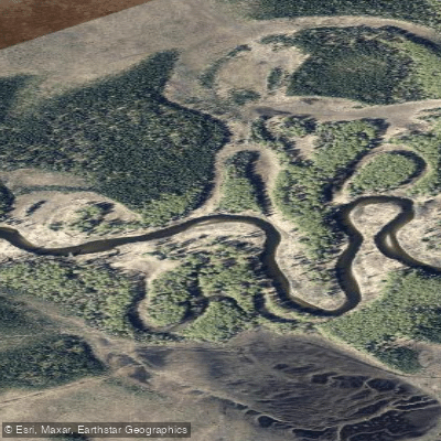
Little Susitna River
- Boat Ramps
- 0
- Access Points
- 0
- Campsites
- 2
The Little Susitna River originates at 1,700 feet elevation in Hatcher Pass within the Talkeetna Mountains, which form the northern boundary of the Matanuska-Susitna Valley. From its headwaters, the river flows southwest for several dozen miles before emptying into Cook Inlet. The river's character transforms dramatically along its course—beginning as intense whitewater through a boulder-choked canyon in the upper reaches, then mellowing into a meandering, clear stream through forested lowlands before reaching tidewater.
Paddlers will find two distinct experiences on the Little Su. The upper whitewater sections, accessible from the Motherlode Cookhouse & Saloon on Fishhook Road, deliver Class IV+ to Class V rapids characterized by near-continuous technical challenges over rounded granite boulders. These runs, typically paddled at flows between 350-900 cfs, demand advanced kayaking skills and are most commonly run during spring runoff. The uppermost section from Motherlode to Fishhook Road Bridge covers seven intense miles, while extending to Shrock Road increases both distance and difficulty.
Below Schrock Road, the river's personality shifts entirely. Starting at the unimproved access off Pittman Road (Parks Highway mile 48.5), floaters encounter a twisting, brushy waterway with Class I-II difficulty. This 14.5-mile section to the Parks Highway bridge at mile 57 features permanent logjams requiring portaging, frequent sweepers, and modest currents of 3-5 mph. From the Parks Highway downstream, the river becomes increasingly placid, offering 15 miles to Nancy Lake Recreation Area, then continuing another 26 miles to the Little Susitna Access Road near Yohn Lake, and finally 28 miles to Cook Inlet.
Summer flows typically range from 80-1200 cfs, with the river running warmer than most Alaskan waterways. Salmon runs draw anglers from mid-July through August, with king, red, coho, chum, and pink salmon migrating upstream. The Alaska Department of Fish and Game operates a weir upstream from the Public Use Facility to monitor salmon populations. Rainbow trout and Dolly Varden provide additional fishing opportunities throughout the ice-free season. Wildlife sightings along the lower river include black bears, mink, and various waterfowl.
The river corridor transitions from privately-owned land between Hatcher Pass and the Parks Highway to predominantly state-managed lands downstream. The Little Susitna Public Use Facility, located 42 river miles below the Parks Highway and approximately 26 miles south of Wasilla via Burma Road, serves as the primary access point for powerboats and the most popular fishing area. The facility lies within the Susitna Flats State Game Refuge and offers camping alongside boat launch facilities.
Fishing is prohibited upstream of the Parks Highway. Voluntary no-wake zones and seasonal non-motorized restrictions apply to specific sections during peak use periods from May through August.
Water access, boat ramps & amenities
Learn how to get on Little Susitna River. Uncover great paddling access points, boat ramps, and all the facilities you need for an unforgettable day on the water. Some locations shown may border or include private property. Always check property boundaries and applicable regulations before visiting. PaddleWays's Public & Private Land layer can help you plan your access with confidence.
Paddle smarter with real-time insights
Whether you're en route and conditions shift or you're looking for the best spot based on current flows, we enable you to make informed decisions on the fly.








Find Places to Paddle

Over 400,000 Places to Paddle
Every user gets free access to launch points, boat ramps, and public property parcels.


Water and weather conditions (10 day forecast)
See the best times to paddle Little Susitna River and check the forecast before you go.
No forecast data available.
Paddling near Little Susitna River
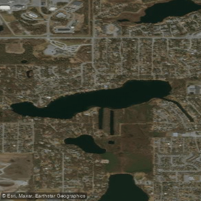
Sand Lake
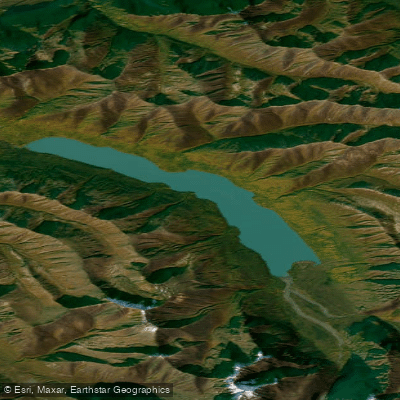
Eklutna Lake
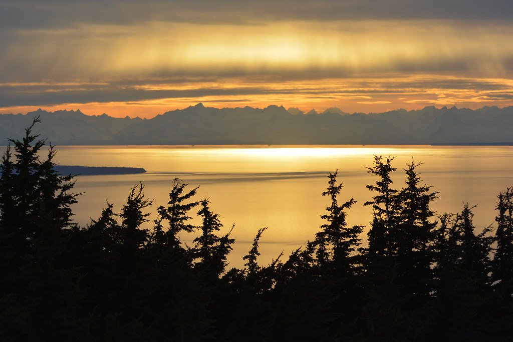
Cook Inlet
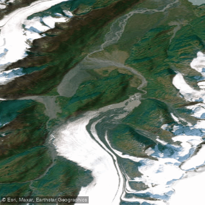
Lake George
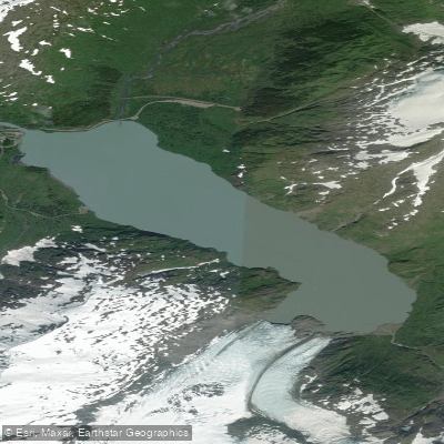
Portage Lake
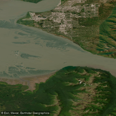
Turnagain Arm
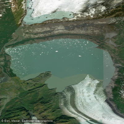
Inner Lake George
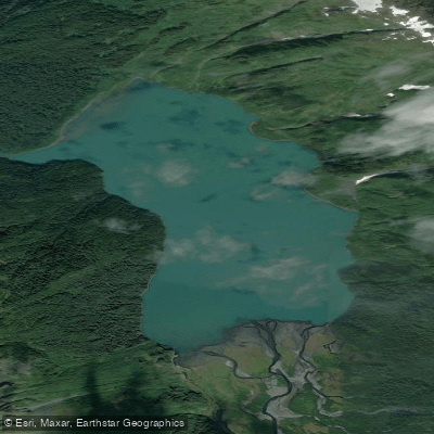
Carmen Lake
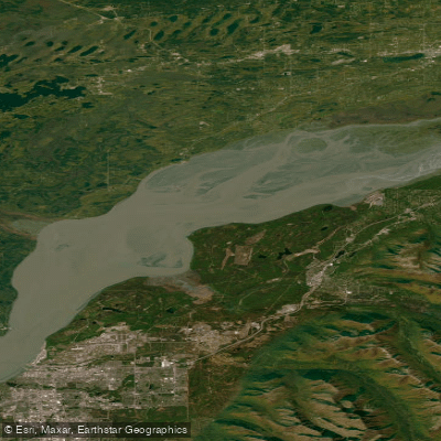
Knik Arm
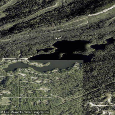
Seventeenmile Lake
Explore Alaska waters
Top paddling waters
Popular Cities
Loading popular cities...
Explore near Little Susitna River
Access points
- Little Susitna Riv Trib Bridge
- Little Susitna River Bridge
- Little Susitna Riv Trib Bridge
- Little Susitna River Bridge
- Little Susitna Riv Trib Bridge
- Little Susitna River Bridge
- Little Susitna River Bridge
- Little Susitna River Bridge
- Archangel Creek Bridge
- Little Meadow Creek Bridge
- Meadow Creek 2 Bridge
- Cottonwood Creek Bridge
- All 16 spots
Nearby waters
More in Alaska

Smarter Paddling Starts in the App.
Paddleways gives you everything you need to plan smarter, paddle better, and own every trip from first launch to takeout.