Brohm Lake Interpretive Forest Trails
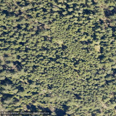
Brohm Lake Interpretive Forest Trails
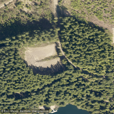
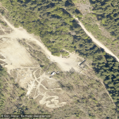
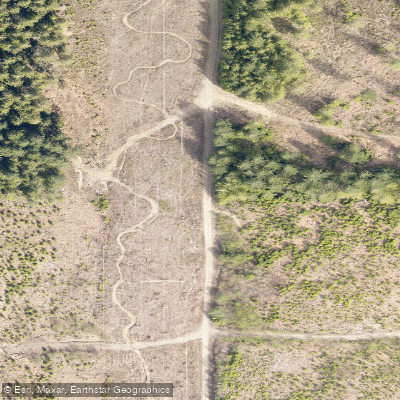
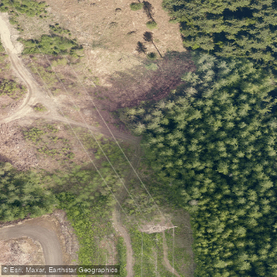
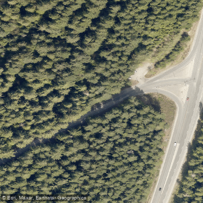
Brohm Lake Interpretive Forest Trails is a 400-hectare recreation area situated along the Sea to Sky Highway (Highway 99) near the northern edge of Squamish, in the traditional territory of the Squamish First Nation.
Established in 1974 as an outdoor classroom, the forest retains traces of its logging history and is one of three interpretive forests along the Sea to Sky corridor.
The network offers over 10 kilometres of connecting trails, including the Brohm Lake Trail, Bridge Trail, Alder Trail, High Trail, and Cheakamus Loop Trail.
Routes circle the lake, climb to viewpoints overlooking the Cheakamus River and Squamish Valley, and extend toward the Paradise Valley area.
An alternative access point via the Tenderfoot Creek Hatchery connects to the lake by a steep 2-kilometre climb along the Thompson Trail.
The day-use site is operated by Squamish Nation Witness Society, Uts'am, while the surrounding forest is managed by the BC Ministry of Forests, Lands and Natural Resources.
Nearby points of interest
Find excellent paddling spots, easy access to boat ramps, and all the amenities you need for a memorable day. Your adventure starts here.
Water and weather conditions (10 day forecast)
Check the forecast at Brohm Lake Interpretive Forest Trails before you go paddling.
No forecast data available.
Paddling near Brohm Lake Interpretive Forest Trails

Fleuve Fraser
Capilano River

Burrard Inlet

Lynn Creek

Coquitlam River
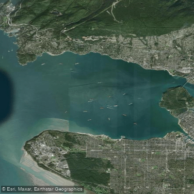
Outer Vancouver Harbour

Pitt River

Serpentine River
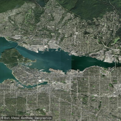
Inner Vancouver Harbour

Alouette River
Bc licenses and regulations
Explore Bc waters
Top paddling waters
No waters available right now.
Popular Cities
Loading popular cities...
Explore near Brohm Lake Interpretive Forest Trails
Nearby spots
Nearby waters
More in Bc

Smarter Paddling Starts in the App.
Paddleways gives you everything you need to plan smarter, paddle better, and own every trip from first launch to takeout.