Petgill Lake Trail
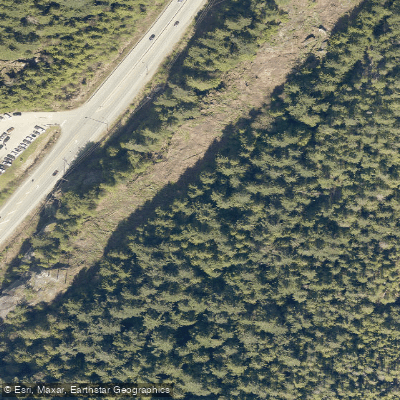
Petgill Lake Trail
The Petgill Lake Trail begins just across the Sea-to-Sky Highway from the Browning Lake parking lot in Murrin Provincial Park, roughly 100 metres north of the lot. Hikers should cross with caution, as traffic moves at highway speed through this section.
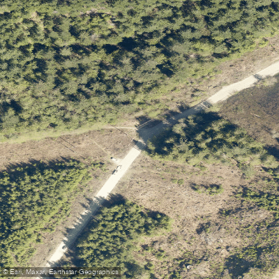
The trail climbs steeply from the highway, assisted by chains and fixed ropes in places, before easing off around 1. 5 km in and joining a wide, deactivated logging road. Orange flagging marks where the route leaves the road and re-enters dense forest.
The out-and-back trail covers approximately 6. 8 miles with about 2,200 feet of elevation gain and typically takes four to five hours to complete. A viewpoint overlooking Howe Sound lies a short distance beyond the lake itself.
Nearby points of interest
Find excellent paddling spots, easy access to boat ramps, and all the amenities you need for a memorable day. Your adventure starts here.
Water and weather conditions (10 day forecast)
Check the forecast at Petgill Lake Trail before you go paddling.
No forecast data available.
Paddling near Petgill Lake Trail

Fleuve Fraser
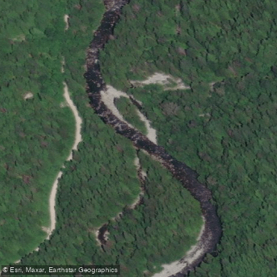
Capilano River

Burrard Inlet

Lynn Creek

Coquitlam River
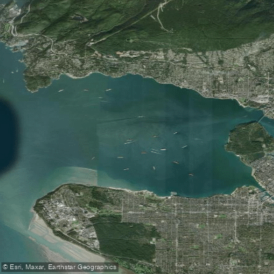
Outer Vancouver Harbour

Pitt River

Serpentine River
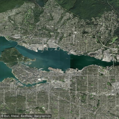
Inner Vancouver Harbour

Alouette River
Bc licenses and regulations
Explore Bc waters
Top paddling waters
No waters available right now.
Popular Cities
Loading popular cities...
Explore near Petgill Lake Trail
Nearby spots
Nearby waters
More in Bc

Smarter Paddling Starts in the App.
Paddleways gives you everything you need to plan smarter, paddle better, and own every trip from first launch to takeout.