Ring Creek Rip
Ring Creek Rip
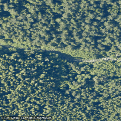
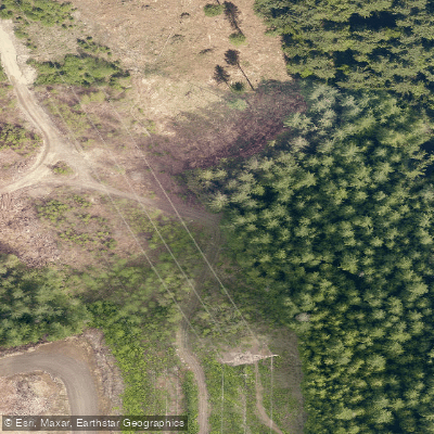
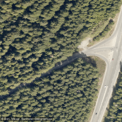
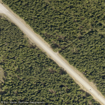
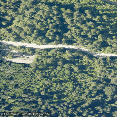
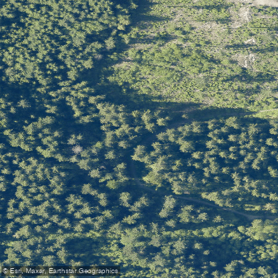
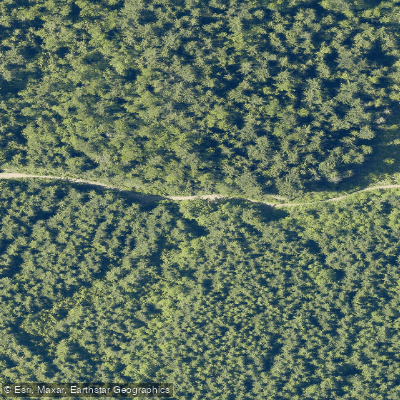
Ring Creek Rip is a mountain bike trail located near Squamish, British Columbia, in the Ring Creek area south of Garibaldi Provincial Park.
Rated blue (intermediate) in difficulty, the trail runs approximately 3 kilometres and is classified as a single-track, multi-use route with elevation ranging from roughly 202 to 550 metres.
The trail is commonly used as an access route to more technical trails such as Powerhouse Plunge, and is described as a smooth cross-country ride. It also serves as a doubletrack connector leading toward 9 Mile Bridge along the Mamquam River.
Entry points are found along the Garibaldi Park Forest Service Road.
Nearby points of interest
Find excellent paddling spots, easy access to boat ramps, and all the amenities you need for a memorable day. Your adventure starts here.
Water and weather conditions (10 day forecast)
Check the forecast at Ring Creek Rip before you go paddling.
No forecast data available.
Paddling near Ring Creek Rip

Fleuve Fraser
Capilano River

Burrard Inlet

Lynn Creek

Coquitlam River
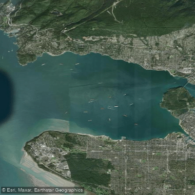
Outer Vancouver Harbour

Pitt River

Serpentine River
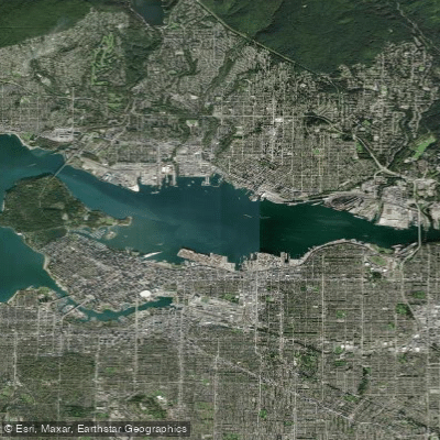
Inner Vancouver Harbour

Alouette River
Bc licenses and regulations
Explore Bc waters
Top paddling waters
No waters available right now.
Popular Cities
Loading popular cities...
Explore near Ring Creek Rip
Nearby spots
Nearby waters
More in Bc

Smarter Paddling Starts in the App.
Paddleways gives you everything you need to plan smarter, paddle better, and own every trip from first launch to takeout.