Sigurd Creek Trail
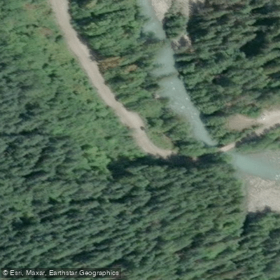
Sigurd Creek Trail
Sigurd Creek Trail is a 7-kilometre singletrack hiking route near Squamish, British Columbia, accessible from a trailhead situated close to the confluence of the Ashlu and Squamish rivers.
The trail can be hiked in either direction and is rated moderate (blue difficulty). The route passes through dense forest, with the stretch between kilometres 5 and 8 noted for particularly impressive old-growth trees.
A log bridge crosses Sigurd Creek at the 8 km mark, though it has been damaged; wading upstream is possible depending on water levels, which can rise significantly in spring afternoons.
Hikers with a high-clearance 4WD vehicle can drive the A-200 branch road to reduce the approach on foot.
Nearby points of interest
Find excellent paddling spots, easy access to boat ramps, and all the amenities you need for a memorable day. Your adventure starts here.

Water and weather conditions (10 day forecast)
Check the forecast at Sigurd Creek Trail before you go paddling.
No forecast data available.
Paddling near Sigurd Creek Trail

Fleuve Fraser
Capilano River

Burrard Inlet

Lynn Creek

Coquitlam River

Outer Vancouver Harbour

Pitt River

Serpentine River

Inner Vancouver Harbour

Alouette River
Bc licenses and regulations
Explore Bc waters
Top paddling waters
No waters available right now.
Popular Cities
Loading popular cities...
Explore near Sigurd Creek Trail
Nearby spots
Nearby waters
More in Bc

Smarter Paddling Starts in the App.
Paddleways gives you everything you need to plan smarter, paddle better, and own every trip from first launch to takeout.