Lake Wahtopanah
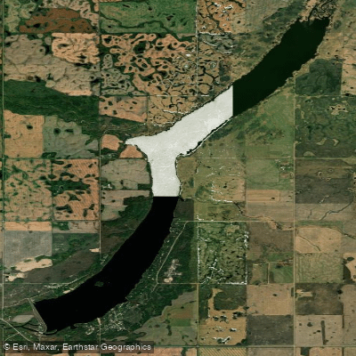
Lake Wahtopanah
- Boat Ramps
- 1
- Access Points
- 0
- Campsites
- 2
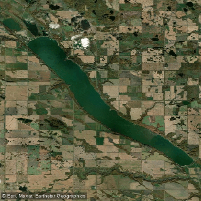
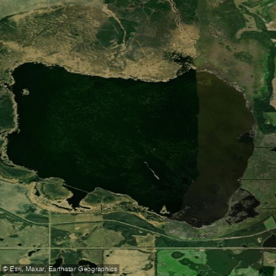
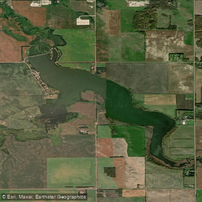
Lake Wahtopanah, also known as Rivers Reservoir, is an artificial lake formed by the Rivers Dam on the Little Saskatchewan River, located just west of the Town of Rivers in southwestern Manitoba. The reservoir stretches approximately 10 kilometres long and 610 metres wide, with a maximum depth of about 15 metres and a surface area of roughly 6.4 square kilometres. Its drainage basin covers approximately 3,300 square kilometres, extending well into Riding Mountain National Park.
The lake's name derives from the Indigenous word watopapinah, meaning "canoe people," reflecting a long cultural association with paddling on these waters. Canoeing, kayaking, and paddleboarding are all practiced here, and the elongated shape of the reservoir lends itself well to exploring the shoreline by canoe or kayak.
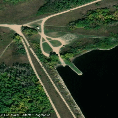
Access to the lake is available from Rivers Provincial Park on the west shore, reached by heading east from town on 8th Avenue off Brunswick Street. Additional boat launches exist on the eastern shore, including at Daly Beach. A newer accessible dock has been installed at Daly Beach, equipped with railings and a mat surface suitable for paddlers with mobility limitations. The provincial park campground on the west shore offers 30 campsites, 20 overflow sites, and 19 seasonal sites, with both electrical and non-electrical serviced options, a concession stand, beach volleyball, miniature golf, and a playground — making it a practical base for multi-day paddling trips.
The lake supports populations of walleye, northern pike, rock bass, and yellow perch, and fishing activity is heavy, meaning paddlers should expect motorized boat traffic, particularly during summer weekends. Water skiing and wakeboarding are also common on the lake, so paddlers should be aware of powerboat activity and plan accordingly.
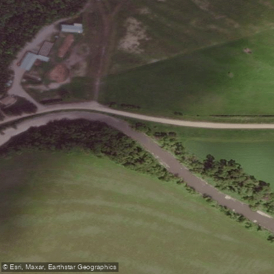
The reservoir is situated within rolling mixed-grass prairie in southwestern Manitoba, and the surrounding landscape reflects that open character. Summer is the primary paddling season, with the campground and beach facilities fully operational. Ice fishing occurs in winter, indicating the lake freezes solidly during that period. In late June and early July 2020, the area experienced an extreme runoff event that raised the lake approximately 2.85 metres above its normal full supply level, a reminder that water levels can vary significantly with weather conditions.
Water access, boat ramps & amenities
Learn how to get on Lake Wahtopanah. Uncover great paddling access points, boat ramps, and all the facilities you need for an unforgettable day on the water. Some locations shown may border or include private property. Always check property boundaries and applicable regulations before visiting. PaddleWays's Public & Private Land layer can help you plan your access with confidence.
Paddle smarter with real-time insights
Whether you're en route and conditions shift or you're looking for the best spot based on current flows, we enable you to make informed decisions on the fly.







Mb licenses and regulations
No licenses or regulations available for Mb.
Find Places to Paddle

Over 400,000 Places to Paddle
Every user gets free access to launch points, boat ramps, and public property parcels.


Water and weather conditions (10 day forecast)
See the best times to paddle Lake Wahtopanah and check the forecast before you go.
LAKE WAHTOPANAH NEAR RIVERS
Paddling near Lake Wahtopanah

Explore Mb waters
Top paddling waters
No waters available right now.
Popular Cities
Loading popular cities...
Explore near Lake Wahtopanah

Smarter Paddling Starts in the App.
Paddleways gives you everything you need to plan smarter, paddle better, and own every trip from first launch to takeout.