Souris River
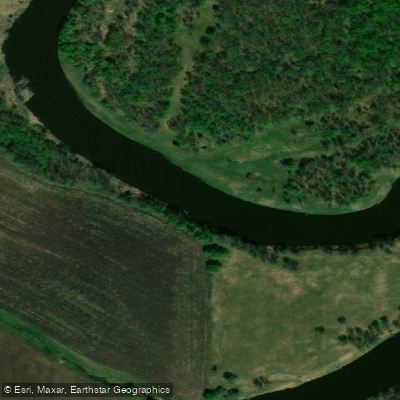
Souris River
- Boat Ramps
- 0
- Access Points
- 0
- Campsites
- 2
The Souris River in southwestern Manitoba is a gentle, wide waterway that meanders through rolling hills, originating near the North Dakota border and flowing northeast to its confluence with the Assiniboine River near Treesbank. The river's character is generally calm and well-suited to beginner and intermediate paddlers, though conditions change significantly with the season. In spring, particularly around Treesbank where it meets the Assiniboine, the river can move quickly with rapids. Spring runoff is considered the best time for fast-moving water, though levels decrease rapidly as the season progresses. The river is best paddled early in spring to take advantage of higher flows.
A documented two-day route covers approximately 58 kilometres, rated Class I or II in April, with no portages required. The put-in for this route is at the Provincial Road 348 crossing of the Souris River, and the take-out is at the Highway 2 crossing. Alternate access points exist at Provincial Roads 346 and 10. The surrounding landscape along this stretch includes high, sharp cliffs on each side in parts of the Souris Valley, with the broader corridor described as relatively remote farm and cottage country.
Wildlife along the river is varied and includes beaver, turtles, ducks, herons, white-tailed deer, and hawks. Coyotes can be heard in the area. The river also supports walleye and northern pike.
The town of Souris itself offers a dock located in Victoria Park and is accessible for boating, canoeing, and fishing. Paddlers moving downstream through town must be aware of a dangerous dam located on the east end of Souris. Warning signs are posted as paddlers approach the area, but caution is strongly advised. The dam creates an aggressive and turbulent current, and users are warned to stay off the cement pads and away from steep embankments near the dam structure.
Notable landmarks near the town of Souris include the Souris Swinging Bridge, the Agate Rock Pit, and a local Rock Shop, making the town a reasonable destination point for a paddling trip. Topographical maps covering the river corridor are 62 F/9, G/5, and G/12.
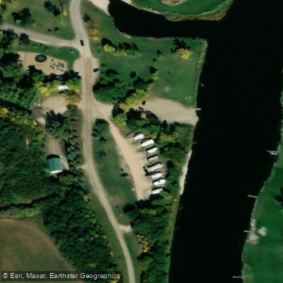
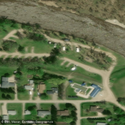
Water access, boat ramps & amenities
Learn how to get on Souris River. Uncover great paddling access points, boat ramps, and all the facilities you need for an unforgettable day on the water. Some locations shown may border or include private property. Always check property boundaries and applicable regulations before visiting. PaddleWays's Public & Private Land layer can help you plan your access with confidence.
Paddle smarter with real-time insights
Whether you're en route and conditions shift or you're looking for the best spot based on current flows, we enable you to make informed decisions on the fly.







Mb licenses and regulations
No licenses or regulations available for Mb.
Find Places to Paddle

Over 400,000 Places to Paddle
Every user gets free access to launch points, boat ramps, and public property parcels.


Water and weather conditions (10 day forecast)
See the best times to paddle Souris River and check the forecast before you go.
SOURIS RIVER NR WESTHOPE, ND
All Flow Stations
Paddling near Souris River

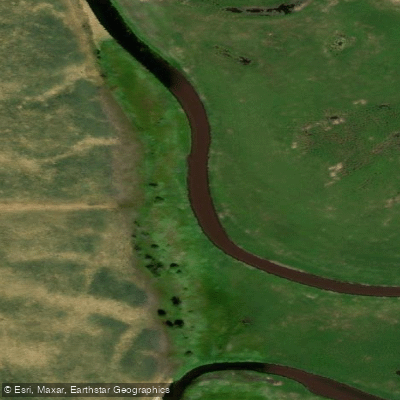
Explore Mb waters
Top paddling waters
No waters available right now.
Popular Cities
Loading popular cities...
Explore near Souris River

Smarter Paddling Starts in the App.
Paddleways gives you everything you need to plan smarter, paddle better, and own every trip from first launch to takeout.