Brokenhead River
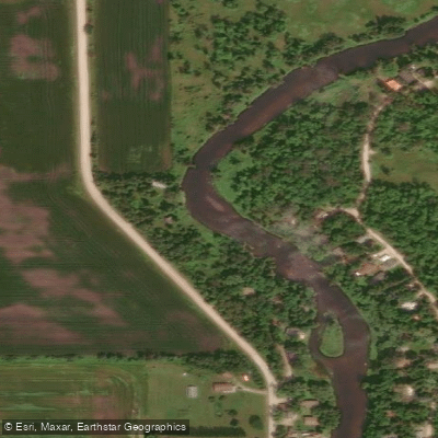
Brokenhead River
- Boat Ramps
- 0
- Access Points
- 0
- Campsites
- 0
The Brokenhead River in Manitoba is a winding waterway located east of Winnipeg, accessible from Highway 59 (PTH 59) where the river crosses approximately one kilometre northeast of the South Beach Casino & Resort, roughly 58 km from the city. This highway crossing serves as a practical put-in point for paddlers exploring the river.
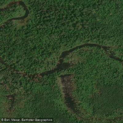
The river's character is defined by a mix of flowing dark water, technical sections involving branches and tight turns, and small rapids. Paddlers should expect some current and swift water in places, along with occasional log and debris blockages that can span the full width of the river, particularly in the upper reaches. These blockages require portaging or dragging craft over logs and branches, which adds time and effort to any trip. Shallow sections also present challenges, particularly for craft with fixed fins. The technical nature of the river, including its rapids and obstacles, means paddlers should have some experience navigating moving water and be prepared for unexpected challenges.
Inflatable craft have shown practical advantages on this river, as they can be bumped and dragged over obstacles without significant damage. Hardshell craft can navigate the river but require careful route-finding through the rapids and around blockages.
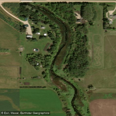
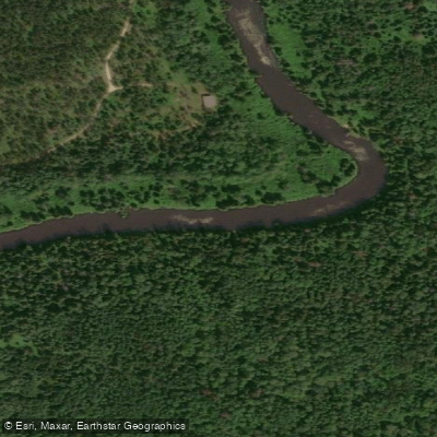
The river passes through natural surroundings and offers an aesthetically appealing experience, with the dark-coloured water and forested banks contributing to its character. The Brokenhead is considered accessible from Winnipeg and is noted alongside other regional rivers such as the Assiniboine, Red, Seine, and LaSalle as a paddling destination within reach of the city.
A dedicated resource for paddling the Brokenhead River exists at brokenheadriver.wixsite.com/brokenhead-canoeing, which describes itself as the first and most complete guide to paddling the river and includes route and guidebook information for trip planning.
Water access, boat ramps & amenities
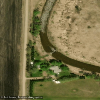
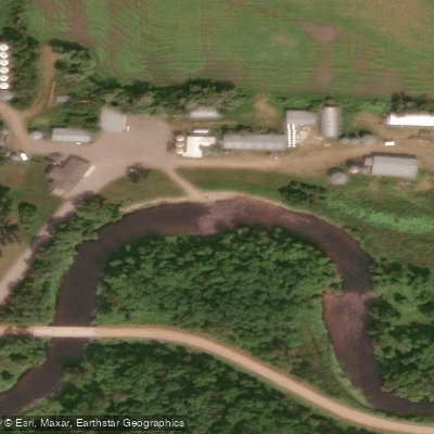
Learn how to get on Brokenhead River. Uncover great paddling access points, boat ramps, and all the facilities you need for an unforgettable day on the water. Some locations shown may border or include private property. Always check property boundaries and applicable regulations before visiting. PaddleWays's Public & Private Land layer can help you plan your access with confidence.
Paddle smarter with real-time insights
Whether you're en route and conditions shift or you're looking for the best spot based on current flows, we enable you to make informed decisions on the fly.







Mb licenses and regulations
No licenses or regulations available for Mb.
Find Places to Paddle

Over 400,000 Places to Paddle
Every user gets free access to launch points, boat ramps, and public property parcels.


Water and weather conditions (10 day forecast)
See the best times to paddle Brokenhead River and check the forecast before you go.
BROKENHEAD RIVER NEAR BEAUSEJOUR

Explore Mb waters
Top paddling waters
No waters available right now.
Popular Cities
Loading popular cities...
Explore near Brokenhead River

Smarter Paddling Starts in the App.
Paddleways gives you everything you need to plan smarter, paddle better, and own every trip from first launch to takeout.