Whitemouth River
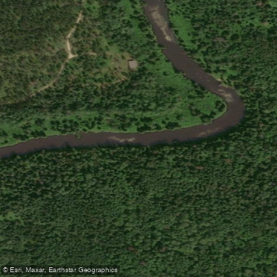
Whitemouth River
- Boat Ramps
- 0
- Access Points
- 0
- Campsites
- 1
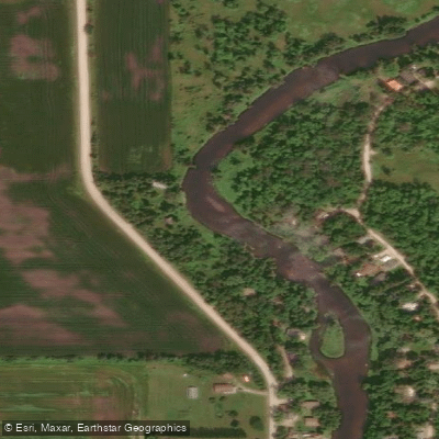
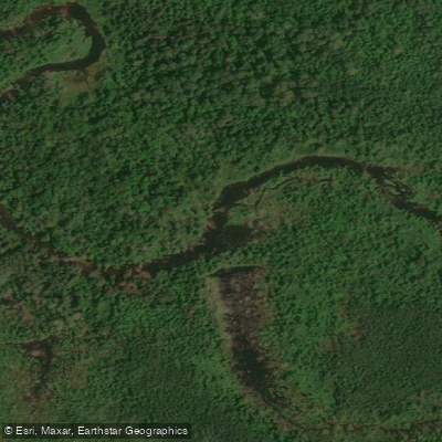
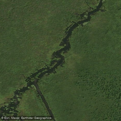
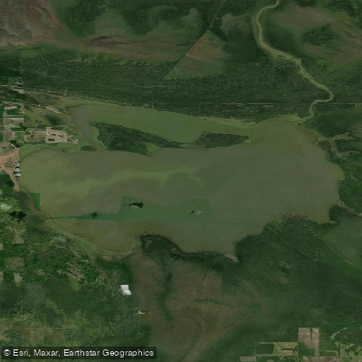
The Whitemouth River is a whitewater river located in southeastern Manitoba, flowing from Whitemouth Lake in the Northwest Angle Provincial Forest southward through Sandilands Provincial Forest before joining the Winnipeg River near Seven Sisters Rapids. The full canoe route passes through a varied landscape that includes backcountry areas, several towns and villages, farmlands, and wetlands, covering roughly 120 kilometres from the lake to the Winnipeg River confluence.
The river is explicitly classified as a whitewater river, and travel without detailed information on hazards is strongly discouraged. Along the route, paddlers will encounter numerous named rapids and falls, including Nakka Falls, Leeyus Falls, Elma Rapids, Nevas Falls, Ostlund Falls, Prette Falls, and Cook Falls, among others. The river is shallow overall, which affects both navigability and water temperature as the season progresses.
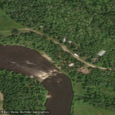
Cook's Falls is a notable play spot on the lower river, offering approximately six distinct features depending on water levels. These range from ledge-style holes to standing waves, and the rapids form a pool-and-drop style through a dramatic narrowing of the river. Cook's Falls is rated Class II and includes a reservable campsite directly on the river bank, which local paddlers use as a base for paddling in the broader region.
The prime paddling season runs from early April through late July, with water levels rising and falling significantly in response to rainfall. Spring flows are fed by winter snowmelt, making dry tops and skull caps advisable early in the season. By mid-June, the river warms to a more comfortable temperature and lighter paddling attire becomes practical. Water levels can drop considerably by late summer, and low-water conditions may require lining or wading in some sections.
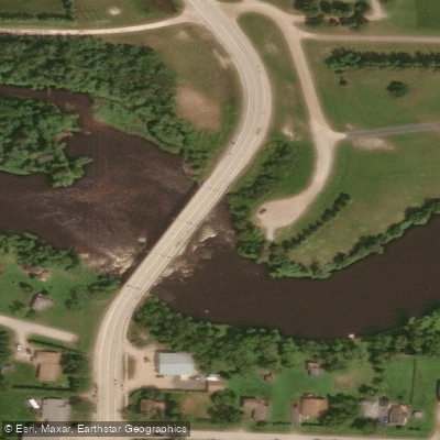
Access points along the route include Whitemouth Lake at the upstream end, the Elma vicinity, Highway 44 near Whitemouth, and River Hills, with the route ultimately terminating at the Winnipeg River junction near Seven Sisters Falls. A canoe route guide produced by the Manitoba Department of Natural Resources, Parks Branch, authored by Réal Bérard, is available for purchase and provides detailed route information. Given the number of significant drops and the variability of water levels, obtaining this guide or equivalent detailed information before launching is strongly recommended.
Water access, boat ramps & amenities
Learn how to get on Whitemouth River. Uncover great paddling access points, boat ramps, and all the facilities you need for an unforgettable day on the water. Some locations shown may border or include private property. Always check property boundaries and applicable regulations before visiting. PaddleWays's Public & Private Land layer can help you plan your access with confidence.
Paddle smarter with real-time insights
Whether you're en route and conditions shift or you're looking for the best spot based on current flows, we enable you to make informed decisions on the fly.







Mb licenses and regulations
No licenses or regulations available for Mb.
Find Places to Paddle

Over 400,000 Places to Paddle
Every user gets free access to launch points, boat ramps, and public property parcels.


Water and weather conditions (10 day forecast)
See the best times to paddle Whitemouth River and check the forecast before you go.
WHITEMOUTH RIVER NEAR WHITEMOUTH

Explore Mb waters
Top paddling waters
No waters available right now.
Popular Cities
Loading popular cities...
Explore near Whitemouth River
Access points
Nearby waters
More in Mb

Smarter Paddling Starts in the App.
Paddleways gives you everything you need to plan smarter, paddle better, and own every trip from first launch to takeout.