Wavey Creek
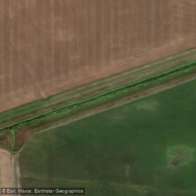
Wavey Creek
- Boat Ramps
- 0
- Access Points
- 0
- Campsites
- 0
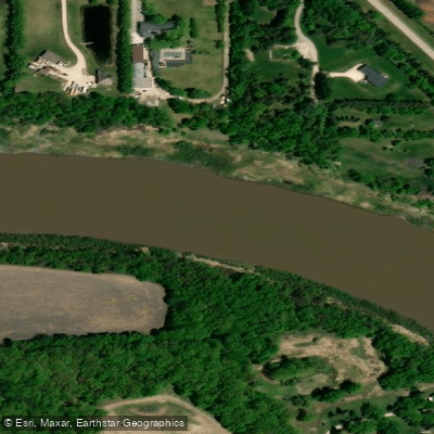
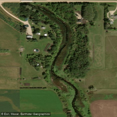
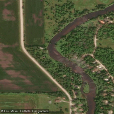
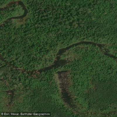
Wavey Creek is a stream in Manitoba, Canada, located near St. Andrews in the Netley Creek area north of Winnipeg, at approximately 50°17′N 96°54′W. It is notably wide for a creek — considerably wider than urban Winnipeg waterways such as the Seine River or La Salle River — and shares this character with the nearby Medicine Creek, Muckle Creek, and Netley Creek. Backflow from Lake Winnipeg and the Red River maintains reliable water depth throughout the paddling season and keeps current minimal, making for straightforward flatwater paddling.
The primary access point is along Wavey Creek Road, where there are multiple possible launch locations. Paddlers typically meet around 9:30 AM to confirm the exact put-in with trip organizers, launching by 10:00 AM. There is no formal take-out infrastructure, and the route can be varied depending on group preference. Documented trips from this launch have ranged from 13 km (approximately 3 hours including a lunch stop) to 21 km (approximately 5 hours including lunch), offering flexibility for different fitness levels and time constraints. A fourth route option extends up Muckle Creek. Netley Creek Provincial Park is reachable along some routes and has been used as a lunch stop, though there are no formal toilet facilities within the park or along the paddling corridor.
The trip rating is listed as intermediate overall, though novice paddlers can participate as bow paddlers in a canoe with an experienced stern paddler. Recommended gear includes lunch, water, sunscreen, and extra warm layers. The creek connects to a broader network of wide, marshy waterways in the Netley-Libau Marsh area, and the surrounding environment supports wildlife typical of that region. The area also attracts anglers targeting yellow perch, brown bullhead, black bullhead, and walleye, which gives some indication of the aquatic ecosystem.
Spring and early fall appear to be the most common paddling seasons based on documented trips in May and September. No specific restrictions or regulations on paddling were noted for this waterway.
Water access, boat ramps & amenities
Learn how to get on Wavey Creek. Uncover great paddling access points, boat ramps, and all the facilities you need for an unforgettable day on the water. Some locations shown may border or include private property. Always check property boundaries and applicable regulations before visiting. PaddleWays's Public & Private Land layer can help you plan your access with confidence.
Paddle smarter with real-time insights
Whether you're en route and conditions shift or you're looking for the best spot based on current flows, we enable you to make informed decisions on the fly.







Mb licenses and regulations
No licenses or regulations available for Mb.
Find Places to Paddle

Over 400,000 Places to Paddle
Every user gets free access to launch points, boat ramps, and public property parcels.


Water and weather conditions (10 day forecast)
See the best times to paddle Wavey Creek and check the forecast before you go.
No forecast data available.

Explore Mb waters
Top paddling waters
No waters available right now.
Popular Cities
Loading popular cities...
Explore near Wavey Creek

Smarter Paddling Starts in the App.
Paddleways gives you everything you need to plan smarter, paddle better, and own every trip from first launch to takeout.