Cooks Creek
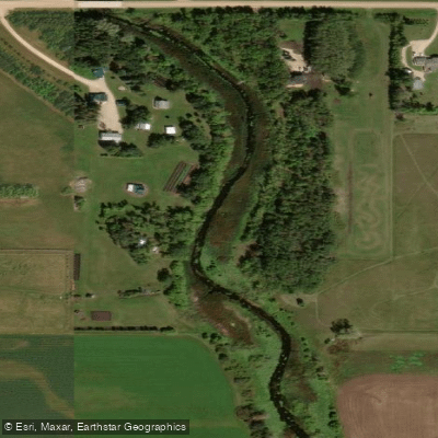
Cooks Creek
- Boat Ramps
- 0
- Access Points
- 0
- Campsites
- 0
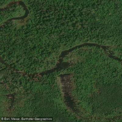
Cooks Creek is a relatively flat, low-current waterway located near East Selkirk, northeast of Winnipeg, Manitoba. Technically comprising portions of the Red River system near its mouth, the creek offers an accessible paddle suitable for beginners and those looking for a relaxed outing. Water levels on the creek are variable, rising quickly after heavy rain or in spring, and dropping to shallow levels in drier periods. The section between Highway 44 and the East Selkirk fire station is a popular route, described as a pleasant morning or afternoon paddle. Before launching, it is worth checking water levels at the Highway 59 crossing — if rocks or other obstructions are visible in the riffles, expect shallow conditions and possible wading; a plastic boat is recommended for low-water trips.
The primary access point is adjacent to the R.M. of St. Clements fire hall in East Selkirk, off Provincial Road 212 on the east side of the Highway 212 bridge. A dirt road leads down to a parking area and launch site. An upstream put-in option exists at Highway 44, just north of Burns, allowing paddlers to run the full stretch down to the fire station take-out, passing under Highway 59 along the way. In spring, the section between Highway 44 and 59 features rapids and riffles that provide a more dynamic experience.
Wildlife along the creek includes bald eagles nesting along the shoreline, blue herons, and various other bird species. The creek widens into a shallower area approximately three kilometres from its mouth at the Red River, which, while navigable, requires some familiarity with the channel. The creek sees a mix of watercraft including canoes, kayaks, motorboats, and personal watercraft, particularly near the wider lower section.
A longer route option involves paddling Cooks Creek from East Selkirk to St. Peter Dynevor Church, a trip of approximately 12.8 kilometres that is recommended only during mid- to high water levels. This route passes through historically significant territory associated with the fur trade era. The full route from Highway 44 to East Selkirk is best undertaken when water levels are sufficient to cover the riffles near Highway 59.
Water access, boat ramps & amenities
Learn how to get on Cooks Creek. Uncover great paddling access points, boat ramps, and all the facilities you need for an unforgettable day on the water. Some locations shown may border or include private property. Always check property boundaries and applicable regulations before visiting. PaddleWays's Public & Private Land layer can help you plan your access with confidence.
Paddle smarter with real-time insights
Whether you're en route and conditions shift or you're looking for the best spot based on current flows, we enable you to make informed decisions on the fly.







Mb licenses and regulations
No licenses or regulations available for Mb.
Find Places to Paddle

Over 400,000 Places to Paddle
Every user gets free access to launch points, boat ramps, and public property parcels.


Water and weather conditions (10 day forecast)
See the best times to paddle Cooks Creek and check the forecast before you go.
No forecast data available.

Explore Mb waters
Top paddling waters
No waters available right now.
Popular Cities
Loading popular cities...
Explore near Cooks Creek

Smarter Paddling Starts in the App.
Paddleways gives you everything you need to plan smarter, paddle better, and own every trip from first launch to takeout.