Holyrood Bay
- Saltwater
- Bay
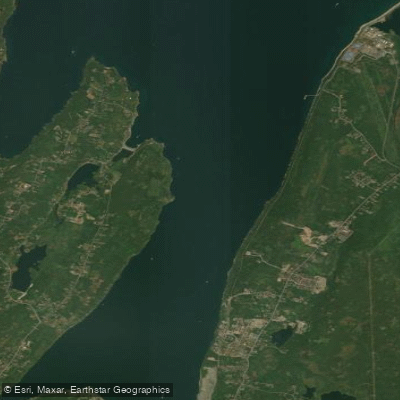
Holyrood Bay
- Saltwater
- Bay
- Sq. miles
- 3.4
- Boat Ramps
- 0
- Access Points
- 0
- Campsites
- 0
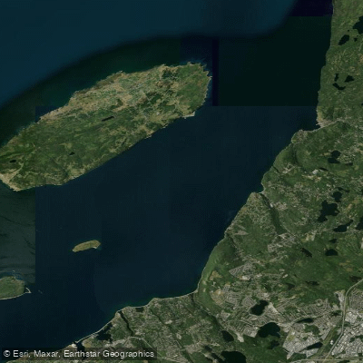
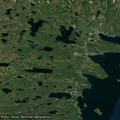
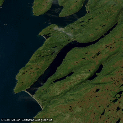
Holyrood Bay is a coastal bay on the Avalon Peninsula of Newfoundland, providing paddling access to the waters of Conception Bay. The bay offers a scenic backdrop dominated by the prominent Butterpot Mountain, which is a notable sight from the water. The area is known for wildlife sightings, including humpback whales feeding offshore and occasional sightings of Arctic species like the bearded seal. The town of Holyrood is nestled along the bay's shores, and there is a residential area known as Marina Shores which overlooks the water, suggesting potential neighborhood access points. Paddlers should be prepared for typical North Atlantic coastal conditions. The bay is exposed to the open waters of Conception Bay, meaning wind and wave action can be significant, and weather can change rapidly. The presence of feeding whales indicates areas of productive water, but also necessitates caution and distance to avoid disturbing marine mammals. Boat traffic from scenic tours is present, so paddlers must remain aware of larger vessels, particularly in the main channel areas. The best time for paddling is during the warmer months, though water temperatures remain cold year-round; a wetsuit or drysuit is essential. There are no specific paddling restrictions, but general right-of-way rules and marine wildlife viewing regulations apply. The overall experience is one of paddling in a working Newfoundland landscape with a mix of mountain views, coastal communities, and potential for significant marine life encounters.
Water access, boat ramps & amenities
Learn how to get on Holyrood Bay. Uncover great paddling access points, boat ramps, and all the facilities you need for an unforgettable day on the water. Some locations shown may border or include private property. Always check property boundaries and applicable regulations before visiting. PaddleWays's Public & Private Land layer can help you plan your access with confidence.
Paddle smarter with real-time insights
Whether you're en route and conditions shift or you're looking for the best spot based on current flows, we enable you to make informed decisions on the fly.







Nl licenses and regulations
No licenses or regulations available for Nl.
Find Places to Paddle

Over 400,000 Places to Paddle
Every user gets free access to launch points, boat ramps, and public property parcels.


Tides, wind & water conditions (10 day forecast)
On open water, wind and tide matter as much as the weather. See the best times to paddle Holyrood Bay and check the marine forecast before you launch.
Loading tide predictions…
Explore Nl waters
Top paddling waters
No waters available right now.
Popular Cities
Loading popular cities...
Explore near Holyrood Bay

Smarter Paddling Starts in the App.
Paddleways gives you everything you need to plan smarter, paddle better, and own every trip from first launch to takeout.