Holyrood Pond
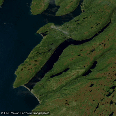
Holyrood Pond
- Boat Ramps
- 0
- Access Points
- 0
- Campsites
- 1
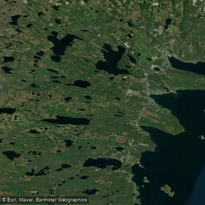
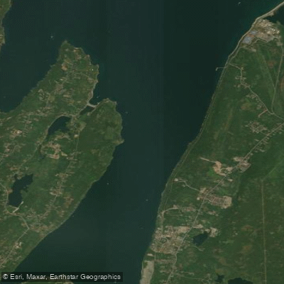
Holyrood Pond is a large freshwater pond located in the St. Mary's Bay area of Newfoundland's Avalon Peninsula, accessible from St. Vincent's on Route 90. One of its defining geographical features is that it is separated from the open Atlantic Ocean by a wide pebble beach, making it a notable coastal pond with a direct visual and physical relationship to the sea.
The pond is referenced in both canoe and kayak guidebooks, including "Canyons, Coves and Coastal Waters: Choice Canoe and Kayak Routes of Newfoundland and Labrador" and a revised treatment in "A Guide to Sea Kayaking in Newfoundland and Labrador," suggesting it has been recognized as a worthwhile paddling destination for both disciplines. A boat launching ramp is available at the site, facilitating access for trailered watercraft as well as paddle craft.
Paddlers will find basic amenities at the site, including a small interpretation centre and washrooms located near the parking area. The setting directly across from St. Vincent's Beach — well known for shoreline whale watching — means paddlers may have opportunities to observe marine wildlife in the surrounding coastal environment. The wide pebble beach separating the pond from the Atlantic is a distinctive landscape feature visible from the water.
The pond also sits in proximity to the Avalon Wilderness Reserve, and a 24-kilometre hiking trail — the Daniel's Point to Holyrood Pond Trail — connects the area to the reserve's interior, reflecting the broader wilderness character of the region. Paddlers interested in combining water travel with land-based exploration of the reserve should note that canoe access into the reserve is possible from locations along Peak Pond Road off the Salmonier Line/Route 90.
Water access, boat ramps & amenities
Learn how to get on Holyrood Pond. Uncover great paddling access points, boat ramps, and all the facilities you need for an unforgettable day on the water. Some locations shown may border or include private property. Always check property boundaries and applicable regulations before visiting. PaddleWays's Public & Private Land layer can help you plan your access with confidence.
Paddle smarter with real-time insights
Whether you're en route and conditions shift or you're looking for the best spot based on current flows, we enable you to make informed decisions on the fly.







Nl licenses and regulations
No licenses or regulations available for Nl.
Find Places to Paddle

Over 400,000 Places to Paddle
Every user gets free access to launch points, boat ramps, and public property parcels.


Water and weather conditions (10 day forecast)
See the best times to paddle Holyrood Pond and check the forecast before you go.
No forecast data available.
Explore Nl waters
Top paddling waters
No waters available right now.
Popular Cities
Loading popular cities...
Explore near Holyrood Pond

Smarter Paddling Starts in the App.
Paddleways gives you everything you need to plan smarter, paddle better, and own every trip from first launch to takeout.