Second Pond
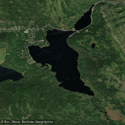
Second Pond
- Boat Ramps
- 0
- Access Points
- 0
- Campsites
- 0
Second Pond is located near St. John's on the Avalon Peninsula, accessed by driving 1.2 km down Donovan's Road from Petty Harbour Road to a large parking lot. The pond's coordinates are approximately 47°31′N 53°12′W, placing it in the Conception Bay South area of Division No. 1, Newfoundland and Labrador.
The paddling distance on Second Pond itself is approximately 2.4 km. The pond is notably large and features marshes and inlets that add variety to the paddling experience. Paddlers should be aware of submerged rocks near the shores, which are particularly relevant for stand-up paddleboarders. Jet skis also use the pond, though its size is sufficient that they generally do not pose a significant problem.
Second Pond connects to First Pond (approximately 900 m in length) via a passage running under the Petty Harbour Road bridge. This connection allows paddlers to extend their trip to include both ponds. SUP paddlers may need to sit down to pass under the bridge if water levels are high. At the far northern end of First Pond there is a dam that should be avoided entirely, as it is considered dangerous.
The two ponds together offer a combined paddling experience that takes in open water, marshes, and a navigable passage between them, making the route more varied than a simple out-and-back on a single body of water.
Water access, boat ramps & amenities
Learn how to get on Second Pond. Uncover great paddling access points, boat ramps, and all the facilities you need for an unforgettable day on the water. Some locations shown may border or include private property. Always check property boundaries and applicable regulations before visiting. PaddleWays's Public & Private Land layer can help you plan your access with confidence.
Paddle smarter with real-time insights
Whether you're en route and conditions shift or you're looking for the best spot based on current flows, we enable you to make informed decisions on the fly.







Nl licenses and regulations
No licenses or regulations available for Nl.
Find Places to Paddle

Over 400,000 Places to Paddle
Every user gets free access to launch points, boat ramps, and public property parcels.


Water and weather conditions (10 day forecast)
See the best times to paddle Second Pond and check the forecast before you go.
No forecast data available.
Paddling near Second Pond
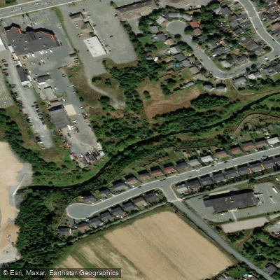
Waterford River
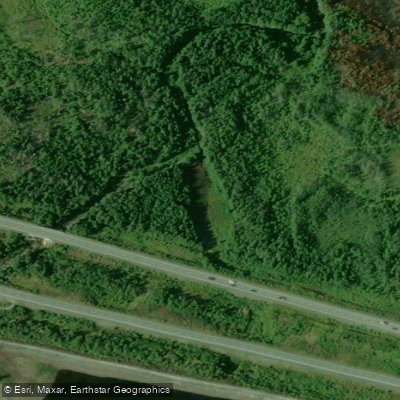
Manuels River
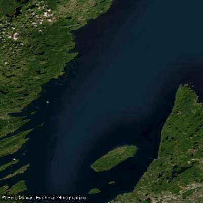
Conception Bay
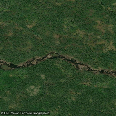
La Manche River
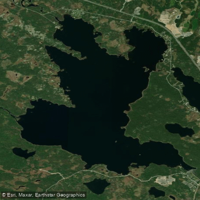
Gull Pond
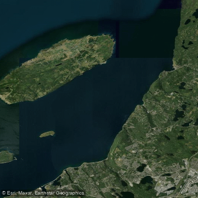
Bell Island Tickle
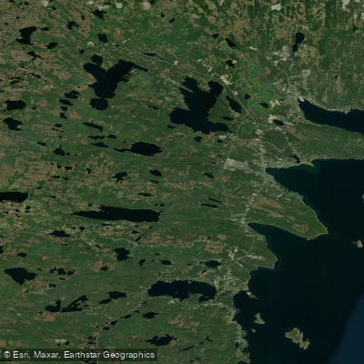
Long Pond
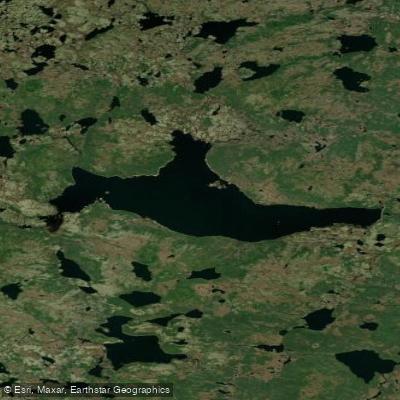
Mobile Big Pond
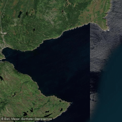
Motion Bay
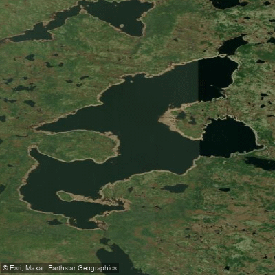
Mount Carmel Pond
Explore Nl waters
Top paddling waters
No waters available right now.
Popular Cities
Loading popular cities...
Explore near Second Pond

Smarter Paddling Starts in the App.
Paddleways gives you everything you need to plan smarter, paddle better, and own every trip from first launch to takeout.