Tor Bay
- Saltwater
- Bay
Tor Bay
- Saltwater
- Bay
- Sq. miles
- 4.4
- Boat Ramps
- 0
- Access Points
- 0
- Campsites
- 0
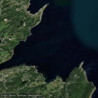
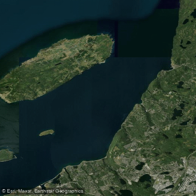
Tor Bay is an open Atlantic coastal bay on the Eastern Shore of Nova Scotia, near the community of Larry's River. The bay is characterized by sweeping sand beaches and a rocky coastline, presenting a picturesque but exposed maritime environment. The primary public access point for paddlers is Tor Bay Provincial Park, located on a rocky point overlooking the bay approximately 8 kilometers south of Larry's River along Highway 316. This park serves as a potential launch site, featuring a small picnic area, boardwalks, and interpretive panels. The bay's beaches, such as Tor Bay Beach, are noted for their sand and rocks, but the surf can be challenging, indicating that launches and landings may involve navigating a surf zone, particularly during onshore winds or swell. The area is directly open to the Atlantic Ocean, which means paddlers can expect significant wind exposure and fetch, making conditions highly variable and potentially rough. The water body is oceanfront, confirming it is a saltwater feature subject to tidal currents. The surrounding landscape offers a beautiful coastal setting with ocean views, and a small, tree-covered island is present within the bay, providing a point of interest and a potential destination for exploration. The region is known for hiking, camping, and kayaking, with a national park in the broader area. Facilities at the provincial park are limited to picnic amenities, and there is no mention of dedicated paddler services like rentals or formal boat ramps. The water quality and seasonal temperature patterns typical of the North Atlantic apply, with cold water year-round, especially outside of the summer months.
Water access, boat ramps & amenities
Learn how to get on Tor Bay. Uncover great paddling access points, boat ramps, and all the facilities you need for an unforgettable day on the water. Some locations shown may border or include private property. Always check property boundaries and applicable regulations before visiting. PaddleWays's Public & Private Land layer can help you plan your access with confidence.
Paddle smarter with real-time insights
Whether you're en route and conditions shift or you're looking for the best spot based on current flows, we enable you to make informed decisions on the fly.







Nl licenses and regulations
No licenses or regulations available for Nl.
Find Places to Paddle

Over 400,000 Places to Paddle
Every user gets free access to launch points, boat ramps, and public property parcels.


Tides, wind & water conditions (10 day forecast)
On open water, wind and tide matter as much as the weather. See the best times to paddle Tor Bay and check the marine forecast before you launch.
Loading tide predictions…
Explore Nl waters
Top paddling waters
No waters available right now.
Popular Cities
Loading popular cities...
Explore near Tor Bay

Smarter Paddling Starts in the App.
Paddleways gives you everything you need to plan smarter, paddle better, and own every trip from first launch to takeout.