Lake Ainslie
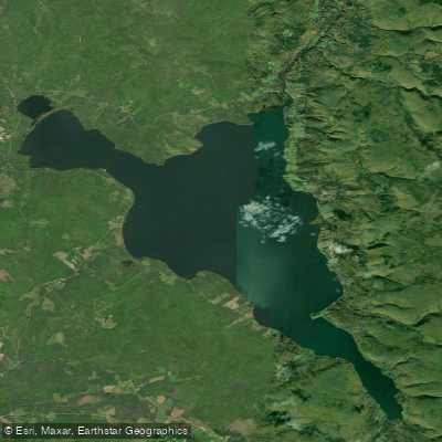
Lake Ainslie
- Boat Ramps
- 0
- Access Points
- 2
- Campsites
- 0
Lake Ainslie is the largest natural freshwater lake in Nova Scotia, located in Inverness County on Cape Breton Island. The lake spans over 20 kilometres, with a surface area of approximately 57.4 square kilometres, a shoreline length of roughly 48 kilometres, and sits at an elevation of 57 metres. It serves as the headwaters for the Southwest Margaree River, which flows northward to the Gulf of St. Lawrence and is part of the 120-kilometre Margaree-Lake Ainslie system draining a watershed of nearly 120,000 hectares. The entire system was designated a Canadian Heritage River in 1998.
The water often exhibits a jade hue with tea-coloured clarity, occasionally influenced by algal blooms. The lake holds geological, cultural, and recreational significance, with the surrounding landscape featuring forested slopes and farmland reflecting Acadian and Scottish heritage.
Two boat launches serve paddlers: one near Ainslie Village Campground at 1321 Highway 395 on the south end of the lake, and another near MacKinnons Campground. A documented paddling route runs from the south end of the lake to Scotsville, with a return option. From Scotsville, paddlers can continue onto the Southwest Margaree River, which merges with the Northeast Margaree at Margaree Forks before reaching Margaree Harbour on the Gulf of St. Lawrence.
The lake is a primary breeding area for gaspereau and supports a notable brook trout fishery, particularly in spring. White perch are present throughout summer. Bald eagles are a consistent presence over the water year-round. The Southwest Margaree River, originating from the lake, is well regarded for Atlantic salmon and trout, with clear, cold upper reaches providing important spawning habitat.
Ainslie Village Campground, located directly on the lake's south shore, offers facilities including bathrooms, shower stalls, laundry, and a recreation centre, making it a practical base for paddling trips. The campground sits on over 400 acres of grounds.
Water access, boat ramps & amenities
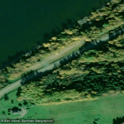
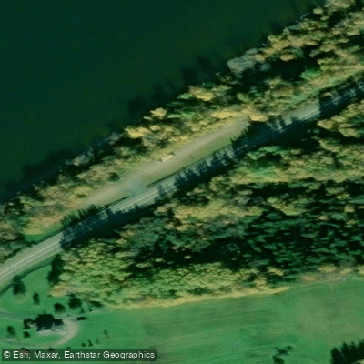
Learn how to get on Lake Ainslie. Uncover great paddling access points, boat ramps, and all the facilities you need for an unforgettable day on the water. Some locations shown may border or include private property. Always check property boundaries and applicable regulations before visiting. PaddleWays's Public & Private Land layer can help you plan your access with confidence.
Paddle smarter with real-time insights
Whether you're en route and conditions shift or you're looking for the best spot based on current flows, we enable you to make informed decisions on the fly.








Find Places to Paddle

Over 400,000 Places to Paddle
Every user gets free access to launch points, boat ramps, and public property parcels.


Water and weather conditions (10 day forecast)
See the best times to paddle Lake Ainslie and check the forecast before you go.
No forecast data available.
Paddling near Lake Ainslie
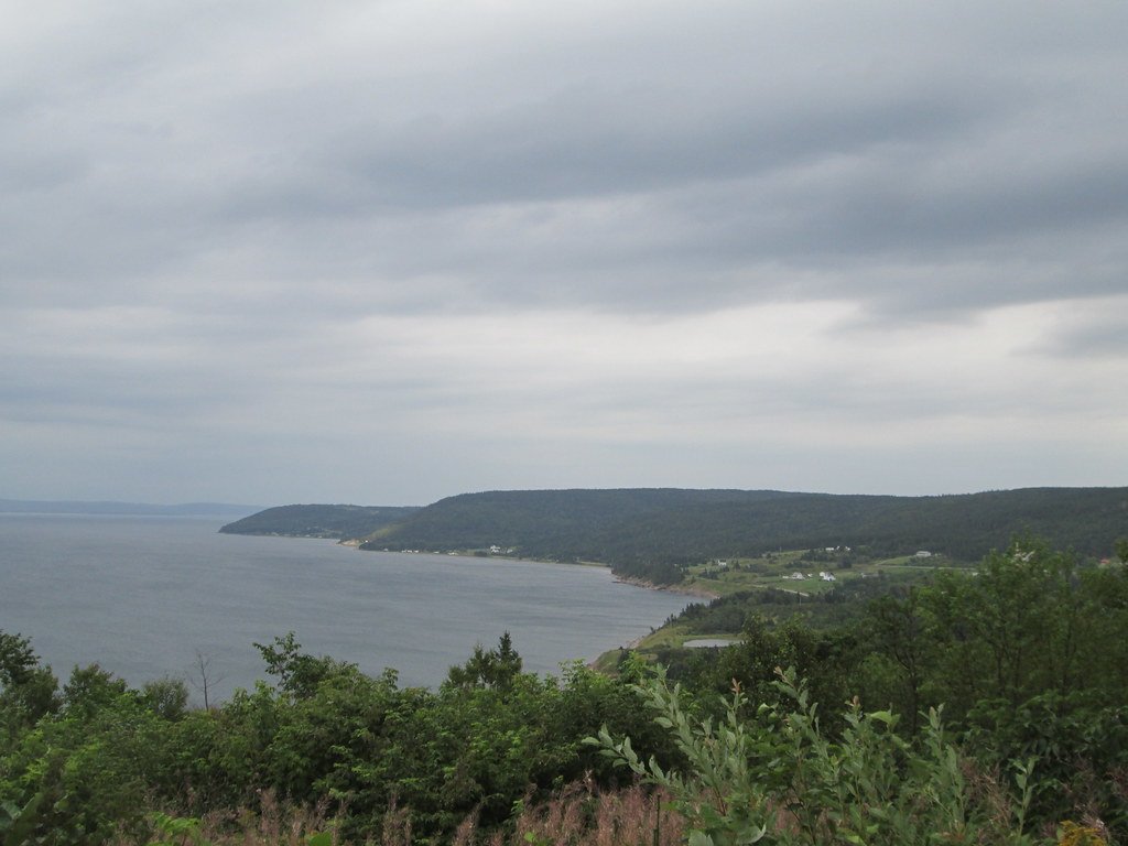
Bras d'Or Lake
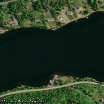
Mira River
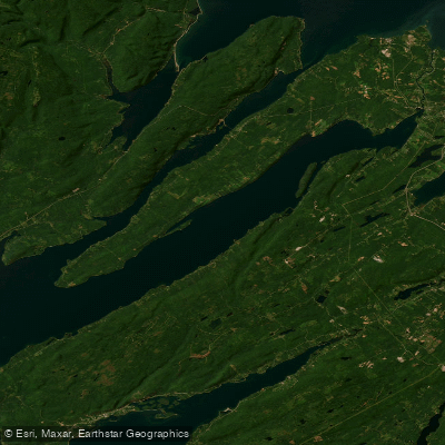
St. Andrews Channel
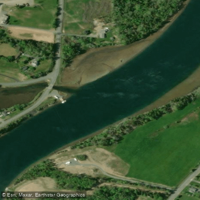
Little Bras d'Or
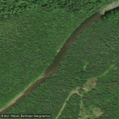
Northeast Margaree River
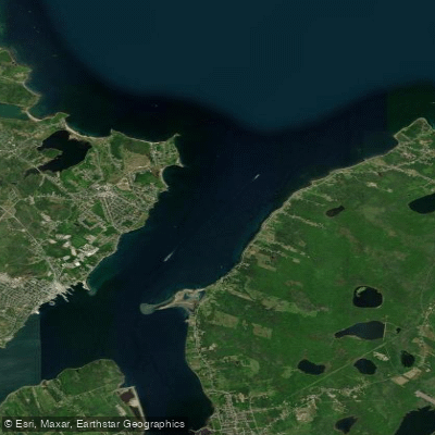
Sydney Harbour
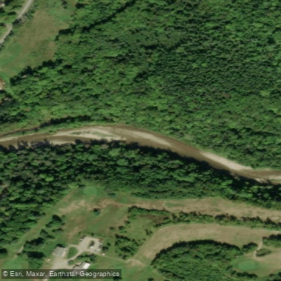
Baddeck River
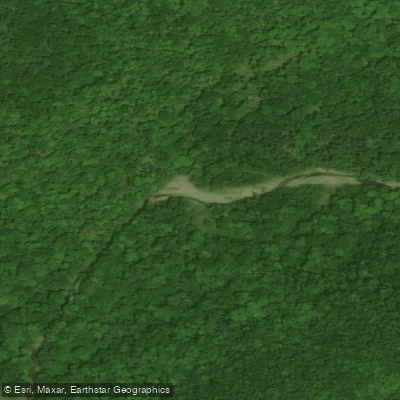
Indian Brook
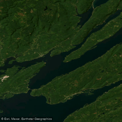
Great Bras d'Or
River Denys
Explore Ns waters
Top paddling waters
No waters available right now.
Popular Cities
Loading popular cities...
Explore near Lake Ainslie

Smarter Paddling Starts in the App.
Paddleways gives you everything you need to plan smarter, paddle better, and own every trip from first launch to takeout.