Mabou River
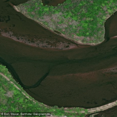
Mabou River
- Boat Ramps
- 2
- Access Points
- 0
- Campsites
- 0
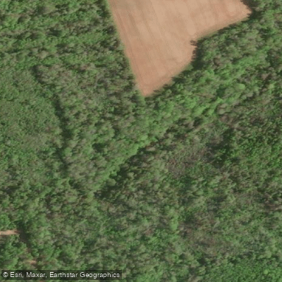
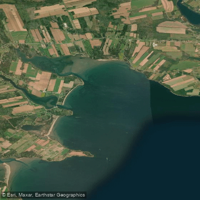
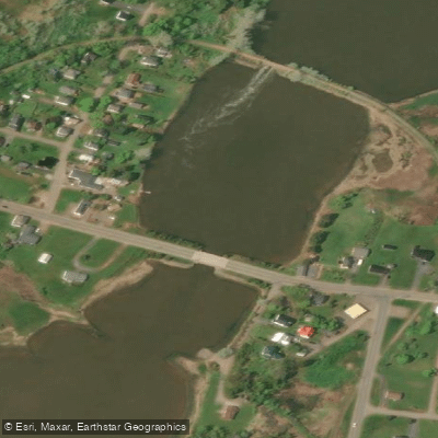
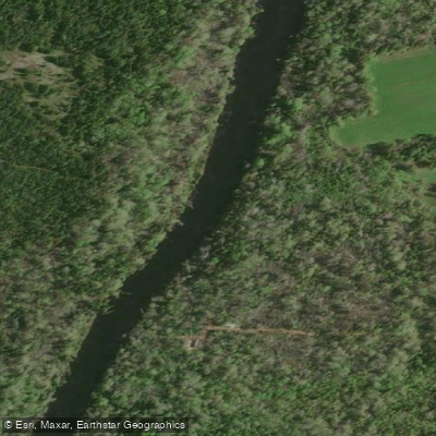
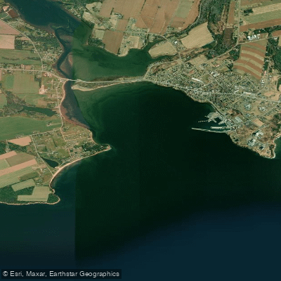
The Mabou River is located on the west coast of Cape Breton Island, flowing through Inverness County before emptying into the Northumberland Strait. The river system includes the Southwest Mabou River and Mull River, which drain through a landscape of meadows, woodlands, and rolling hills before reaching Mabou Harbour and the tidal estuary. The lower portion of the river is a saltwater estuary, and the channel is marked by stakes driven into the mud rather than conventional buoys.
The Celtic Shores Coastal Trail system recognizes the Southwest Mabou and Mull Rivers to Mabou Harbour as an inland canoe and kayak water trail, suggesting this is an established paddling corridor. The estuary section offers access to the Northumberland Strait, where paddlers should be prepared for open saltwater conditions. One paddler who completed the estuary route in October chose to wear a dry suit and carried a personal locator beacon and VHF radio, reflecting the cold water temperatures typical of the Atlantic coast in autumn.
Bald eagles and Canada Geese, among other species, can be found along the river corridor. The surrounding terrain transitions between forested canopy sections, open meadows, and farmland, with the river passing near the village of Mabou and the settlement of Glendyer before reaching the coast. The area carries strong Acadian and Scottish cultural heritage, and the village of Mabou itself offers amenities including a farmers market.
Paddlers planning a trip should account for tidal influence in the estuary section, as the channel characteristics and water levels will vary with the tide. Given the saltwater nature of the lower river and its connection to the Northumberland Strait, appropriate safety gear and awareness of tidal timing are practical considerations for anyone paddling the estuary reach.
Water access, boat ramps & amenities
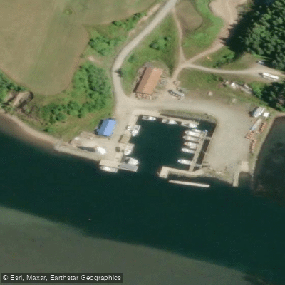
Learn how to get on Mabou River. Uncover great paddling access points, boat ramps, and all the facilities you need for an unforgettable day on the water. Some locations shown may border or include private property. Always check property boundaries and applicable regulations before visiting. PaddleWays's Public & Private Land layer can help you plan your access with confidence.
Paddle smarter with real-time insights
Whether you're en route and conditions shift or you're looking for the best spot based on current flows, we enable you to make informed decisions on the fly.








Find Places to Paddle

Over 400,000 Places to Paddle
Every user gets free access to launch points, boat ramps, and public property parcels.


Water and weather conditions (10 day forecast)
See the best times to paddle Mabou River and check the forecast before you go.
No forecast data available.
Explore Ns waters
Top paddling waters
No waters available right now.
Popular Cities
Loading popular cities...
Explore near Mabou River

Smarter Paddling Starts in the App.
Paddleways gives you everything you need to plan smarter, paddle better, and own every trip from first launch to takeout.