Mira Bay
- Saltwater
- Bay
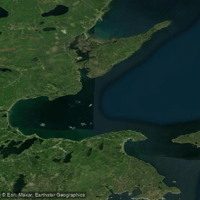
Mira Bay
- Saltwater
- Bay
- Sq. miles
- 31
- Boat Ramps
- 0
- Access Points
- 0
- Campsites
- 0
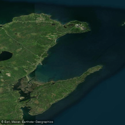
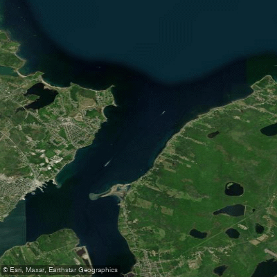
Mira Bay is the broad, open Atlantic Ocean inlet at the terminus of the Mira River system in southeastern Cape Breton Island. The bay is the final destination for the popular multi-day paddling route down the Mira River, which concludes at the narrow tidal outlet known as Mira Gut. The primary take-out for paddlers arriving from the river is Mira Bay itself, with a specific launch point noted at 45 Mira Bay Drive in the community of Mira Gut. The bay is a saltwater coastal feature, and its conditions are dominated by oceanic influences. The final approach from the Mira River involves passing through Mira Gut, a channel less than 50 meters wide with banks approximately 20 meters high, where the only significant current on the entire river system is found due to tidal exchange. Paddlers must time their arrival or departure from the bay with the tides, as paddling against the current in this constricted outlet requires moving-water experience.
The character of the bay is exposed, contrasting with the more sheltered, lake-like upper sections of the Mira River. The broader Mira River system leading into the bay generates its own wind, capable of producing two to three-foot waves on the water surface very quickly, a caution that likely extends to the more exposed bay. There are no indicated restrictions on paddling, and the area offers a scenic coastal view. The historical and cultural context is rooted in Mi'kmaq heritage, with the river system originally named Sookakade. For trip planning, the bay serves as the culmination of a route that can begin upstream at Victoria Bridge or Mira Lake, a journey that takes approximately two days. Paddlers should be prepared for a fully marine environment at the take-out, with all associated considerations for saltwater, tides, and potential wind exposure.
Water access, boat ramps & amenities
Learn how to get on Mira Bay. Uncover great paddling access points, boat ramps, and all the facilities you need for an unforgettable day on the water. Some locations shown may border or include private property. Always check property boundaries and applicable regulations before visiting. PaddleWays's Public & Private Land layer can help you plan your access with confidence.
Paddle smarter with real-time insights
Whether you're en route and conditions shift or you're looking for the best spot based on current flows, we enable you to make informed decisions on the fly.








Find Places to Paddle

Over 400,000 Places to Paddle
Every user gets free access to launch points, boat ramps, and public property parcels.


Tides, wind & water conditions (10 day forecast)
On open water, wind and tide matter as much as the weather. See the best times to paddle Mira Bay and check the marine forecast before you launch.
Loading tide predictions…
Explore Ns waters
Top paddling waters
No waters available right now.
Popular Cities
Loading popular cities...
Explore near Mira Bay

Smarter Paddling Starts in the App.
Paddleways gives you everything you need to plan smarter, paddle better, and own every trip from first launch to takeout.