Morien Bay
- Saltwater
- Bay
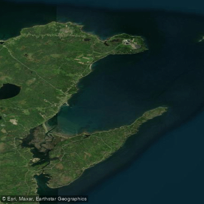
Morien Bay
- Saltwater
- Bay
- Sq. miles
- 12
- Boat Ramps
- 0
- Access Points
- 0
- Campsites
- 0
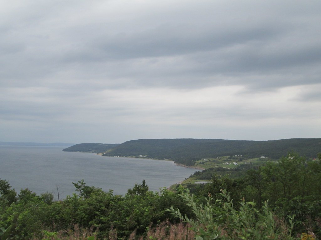
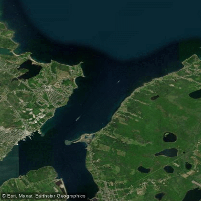
Morien Bay is a coastal bay on Cape Breton Island, Nova Scotia, open to the Atlantic Ocean to the east. The bay is characterized by an open harbor and is not considered a safe anchorage due to its exposure to easterly winds and weather. The head of the bay features flats of sand and mud. A significant geographical feature is the Port Morien Sandbar, also referred to as Phalens Bar, which stretches approximately one kilometre into the bay from a point about two kilometres west of the village of Port Morien. This sandbar provides a popular beach walk with clear sand and offers paddlers expansive views of the bay. The village of Port Morien, situated on the bay, serves as a primary access point with historical significance as a fishing port and coal-producing area. Paddlers can launch from the vicinity of Port Morien to explore the bay. The area is known for its coastal charm, with sunsets and a rich marine environment. Wildlife sightings are likely given the productive waters. Kayaking is a noted activity in the beautiful waters of Port Morien Bay. A notable historical point of interest is the wreck of the SS Emmy, which sank in the bay in 1940. Paddlers should be prepared for an open coastal environment with significant exposure to wind and waves from the east, which can create challenging conditions. The presence of the sandbar and mudflats may influence local currents and provide some sheltered areas, but the overall character of the bay is exposed. There are no indicated restrictions specific to paddling.
Water access, boat ramps & amenities
Learn how to get on Morien Bay. Uncover great paddling access points, boat ramps, and all the facilities you need for an unforgettable day on the water. Some locations shown may border or include private property. Always check property boundaries and applicable regulations before visiting. PaddleWays's Public & Private Land layer can help you plan your access with confidence.
Paddle smarter with real-time insights
Whether you're en route and conditions shift or you're looking for the best spot based on current flows, we enable you to make informed decisions on the fly.








Find Places to Paddle

Over 400,000 Places to Paddle
Every user gets free access to launch points, boat ramps, and public property parcels.


Tides, wind & water conditions (10 day forecast)
On open water, wind and tide matter as much as the weather. See the best times to paddle Morien Bay and check the marine forecast before you launch.
Loading tide predictions…
Explore Ns waters
Top paddling waters
No waters available right now.
Popular Cities
Loading popular cities...
Explore near Morien Bay

Smarter Paddling Starts in the App.
Paddleways gives you everything you need to plan smarter, paddle better, and own every trip from first launch to takeout.