Minnitaki Lake
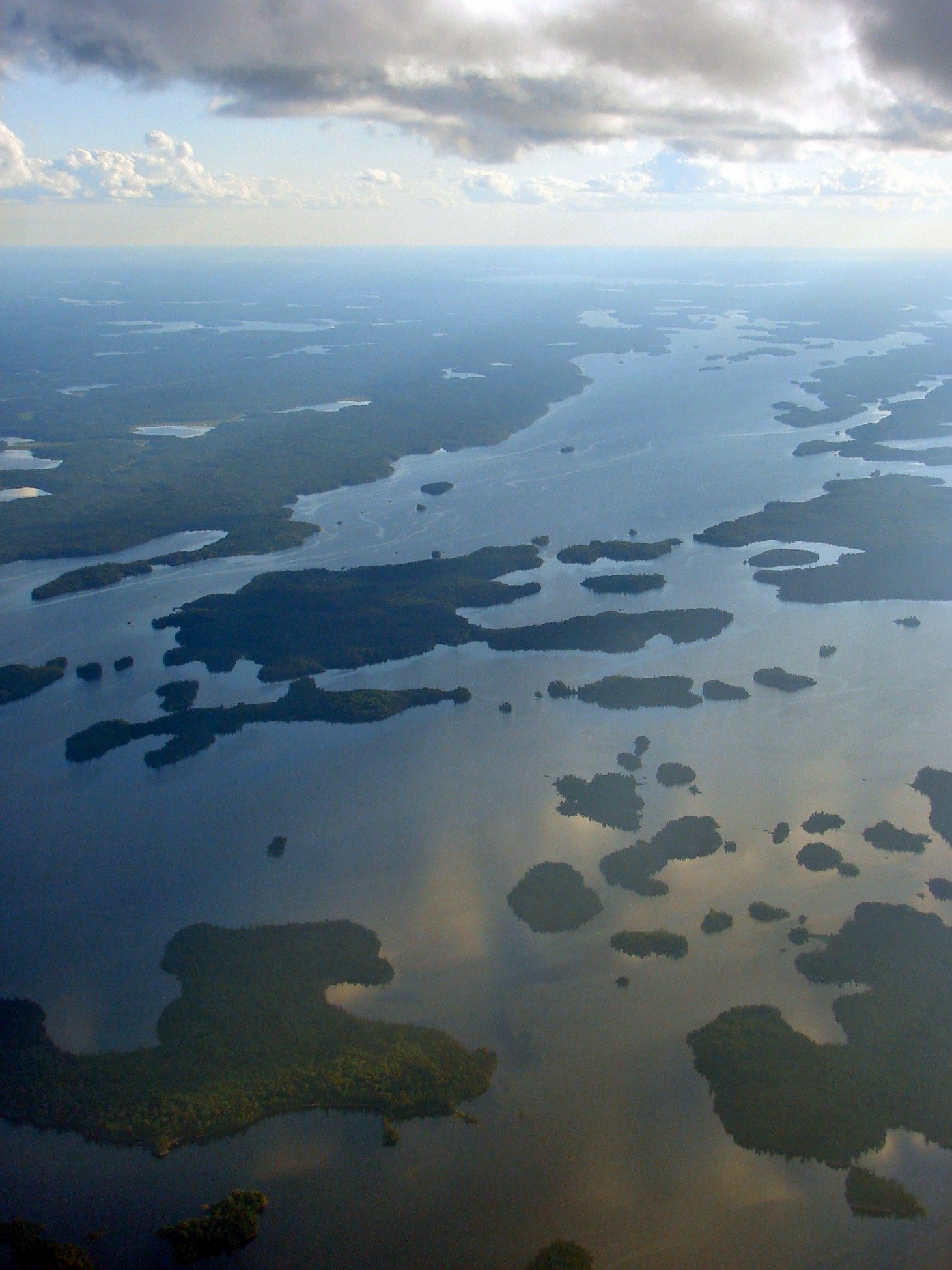
Minnitaki Lake
- Boat Ramps
- 0
- Access Points
- 0
- Campsites
- 1
Minnitaki Lake is a large Shield lake in the Kenora District of northwestern Ontario, located near the town of Sioux Lookout. It stretches approximately 38 to 40 km in length and 15 km across at its widest point, encompassing roughly 46,652 acres of water with 240 miles of shoreline. The central basin drops to nearly 50 metres (approximately 159 feet), giving the water a dark, clear quality characteristic of deep Canadian Shield lakes. The shoreline is densely wooded and highly irregular, featuring rocky and sandy areas, fallen trees, submerged logs, rocky points, deep bays, and countless islands.
Minnitaki Lake is part of the English River system. The English River flows into the lake from the north and exits on the southeast side over the Abram Chutes into Abram Lake. On the northwest side, the river exits over Frog Rapids into Pelican Lake. The north side of the lake branches off into three adjoining lakes, rivers, and additional islands, making the overall system extensive and complex to navigate.
Wind is the primary safety concern for paddlers on Minnitaki. The lake's size allows substantial waves to build across open fetches, and crossing in foul weather is inadvisable. Early morning tends to offer the calmest conditions for open-water crossings. Island-hopping along the shoreline provides a more sheltered alternative to direct crossings, though it adds distance to any route. Paddlers should plan for potential wind days when scheduling a traverse.
Navigational hazards are significant throughout the lake. Numerous rocks and reefs are present throughout the lake, and not all are charted on standard maps. Careful route-finding and slow travel in unfamiliar areas are strongly recommended, particularly for first-time visitors.
Minnitaki Lake is commonly paddled as part of a multi-day traverse of the English River between Press Lake and Sioux Lookout, with most parties allowing 5 to 7 days for the full route. Once on the lake, the character of travel shifts entirely to open-water lake paddling, with wind and wave management replacing the rapids and portages of the upper river sections. The lake is located in Ontario Fisheries Management Zone 4, and paddlers who fish should consult the applicable Zone 4 regulations. Several fishing camps and outfitters operate on or near the lake, including Pickerel Arm Camp and Timber Edge Camps, which may offer access or amenities for visiting paddlers.
Water access, boat ramps & amenities
Learn how to get on Minnitaki Lake. Uncover great paddling access points, boat ramps, and all the facilities you need for an unforgettable day on the water. Some locations shown may border or include private property. Always check property boundaries and applicable regulations before visiting. PaddleWays's Public & Private Land layer can help you plan your access with confidence.
Paddle smarter with real-time insights
Whether you're en route and conditions shift or you're looking for the best spot based on current flows, we enable you to make informed decisions on the fly.








Find Places to Paddle

Over 400,000 Places to Paddle
Every user gets free access to launch points, boat ramps, and public property parcels.


Water and weather conditions (10 day forecast)
See the best times to paddle Minnitaki Lake and check the forecast before you go.
No forecast data available.
Paddling near Minnitaki Lake
Red River

Assiniboine River
Whitemouth River
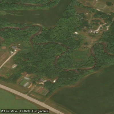
Rivière Seine
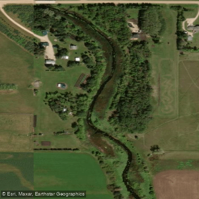
Cooks Creek
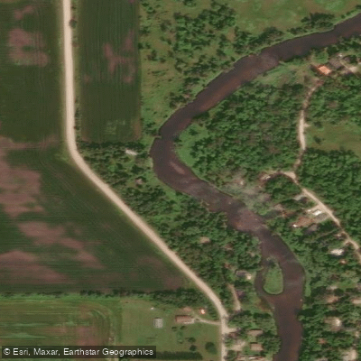
Brokenhead River
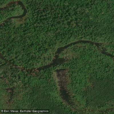
Hazel Creek
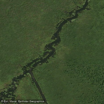
Bog River
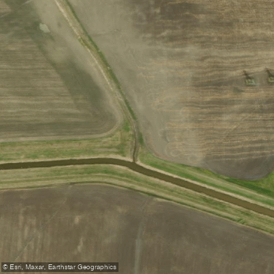
Sturgeon Creek
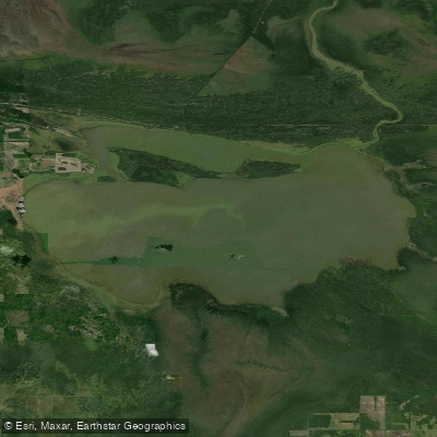
Whitemouth Lake
Explore On waters
Top paddling waters
No waters available right now.
Popular Cities
Loading popular cities...
Explore near Minnitaki Lake

Smarter Paddling Starts in the App.
Paddleways gives you everything you need to plan smarter, paddle better, and own every trip from first launch to takeout.