Sturgeon Lake
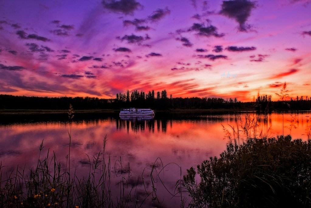
Sturgeon Lake
- Boat Ramps
- 3
- Access Points
- 0
- Campsites
- 4
Sturgeon Lake is a Y-shaped lake in the Kawartha Lakes region of Ontario, stretching approximately 25 km from its southern end to its north-eastern extreme along the longer axis. The lake sits near the town of Bobcaygeon, which spans three islands at the junction of Sturgeon and Pigeon Lakes, and the surrounding area offers a range of paddling options suited to different skill levels and time commitments.
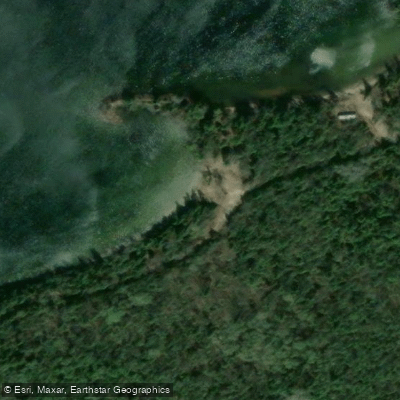
Several public boat launches provide access to the lake. In the Bobcaygeon area, Beach Park at 45 Park Street and West Street both offer concrete docks with 2-metre depth. McAlpine Park on Crane Bay Road at Highway 30 provides a concrete dock at 1-metre depth with garbage facilities and washrooms. In the Dunsford area, launches at Scotch Line Road (north end, 2 metres depth) and Thurstonia on Highway 36 both have docks. Near Fenelon Falls, Southview Estates offers a launch at 2-metre depth. The Ken Rei Road boat launch, located at coordinates 44.40°N, 78.76°W, is suitable for kayaks and canoes only, featuring a moderately steep decline to the water with parking at the end of a cul-de-sac. That bay is shallow with significant weed growth and submerged tree trunks.
A recommended day trip involves launching from one of Bobcaygeon's boat launches and paddling the northern shoreline to Eganridge, where paddlers can pull up to the beach. Another option is a paddle from the Highway 24 beach park on the southern shore, roughly 7 km west of Bobcaygeon, which has a playground, washrooms, and covered picnic tables. The Ken Reid to McLaren's Creek Wetland route explores the southwest corner of Sturgeon Lake through wetlands and takes two to five hours, with an optional 3 km extension north into Goose Bay.
Boyd Island, also known as Big or Chiminis Island, is an 1,100-acre island owned by the Kawartha Land Trust with a shoreline suitable for paddling alongside. A trail on the island can be accessed by landing a canoe or kayak. Paddlers should remain aware of power boat traffic, particularly around Bobcaygeon's canals and the main lake body. The lake connects to Pigeon Lake, and from Pigeon, paddlers can access Chemong, Buckhorn, and Bald Lakes without passing through any locks.
Water access, boat ramps & amenities
Learn how to get on Sturgeon Lake. Uncover great paddling access points, boat ramps, and all the facilities you need for an unforgettable day on the water. Some locations shown may border or include private property. Always check property boundaries and applicable regulations before visiting. PaddleWays's Public & Private Land layer can help you plan your access with confidence.
Paddle smarter with real-time insights
Whether you're en route and conditions shift or you're looking for the best spot based on current flows, we enable you to make informed decisions on the fly.








Find Places to Paddle

Over 400,000 Places to Paddle
Every user gets free access to launch points, boat ramps, and public property parcels.


Water and weather conditions (10 day forecast)
See the best times to paddle Sturgeon Lake and check the forecast before you go.
No forecast data available.
Paddling near Sturgeon Lake
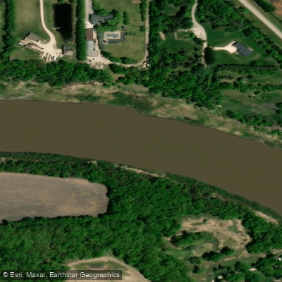
Red River

Assiniboine River
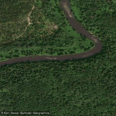
Whitemouth River
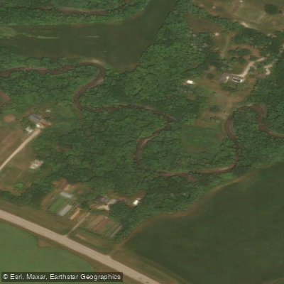
Rivière Seine
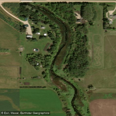
Cooks Creek
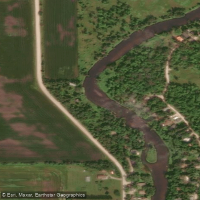
Brokenhead River
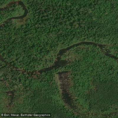
Hazel Creek
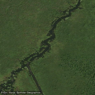
Bog River
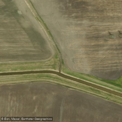
Sturgeon Creek
Whitemouth Lake
Explore On waters
Top paddling waters
No waters available right now.
Popular Cities
Loading popular cities...
Explore near Sturgeon Lake
Access points
Nearby waters
More in On

Smarter Paddling Starts in the App.
Paddleways gives you everything you need to plan smarter, paddle better, and own every trip from first launch to takeout.