Austin Channel
- Saltwater
- Channel
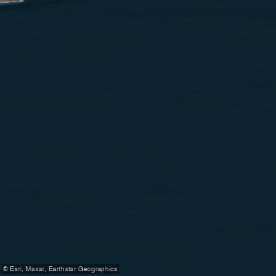
Austin Channel
- Saltwater
- Channel
- Sq. miles
- 1,797
- Boat Ramps
- 0
- Access Points
- 0
- Campsites
- 0
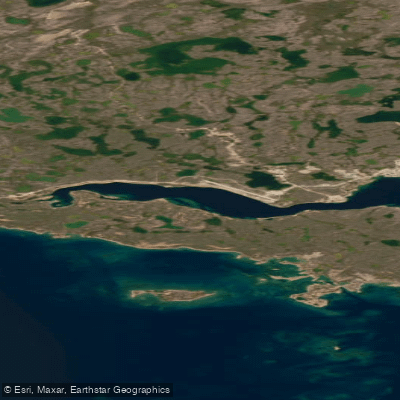
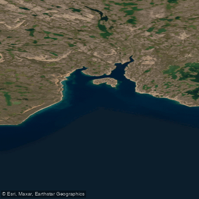
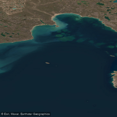
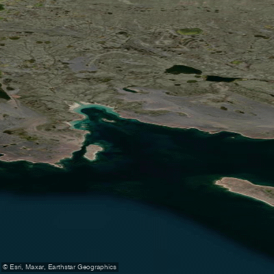
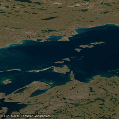
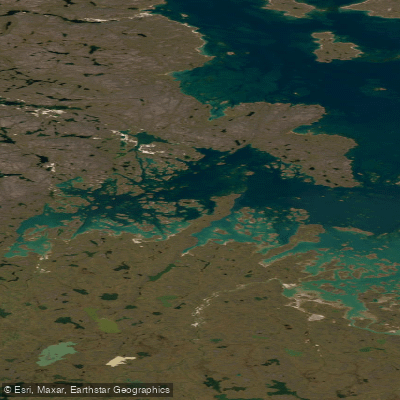
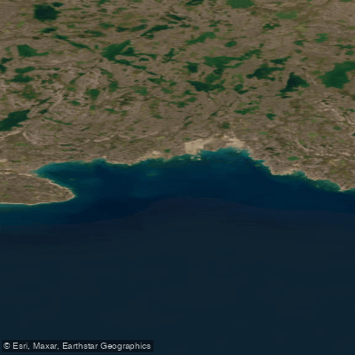
Austin Channel is a marine channel located in the High Arctic of Nunavut, Canada, situated along the western coast of Bathurst Island. It is part of a complex network of waterways in the Queen Elizabeth Islands, connecting to features like Graham Moore Bay to the south and Byam Channel to the north. The channel is characterized by its shallow bathymetry, with soundings of less than 10 meters in parts of the main channel, which significantly influences ice drift and navigation. This shallow nature means paddlers can expect minimal tidal range and currents, but it also means the channel can be prone to becoming choked with ice. The region experiences a very short open-water season, with average freeze-up beginning as early as mid-September and breakup typically occurring in mid-to-late July. Paddling is only possible during a narrow window in late summer, and even then, the presence of old ice floes poses a significant and variable hazard. The surrounding landscape is that of a stark, low-lying Arctic archipelago, with the coastlines of Bathurst and adjacent islands defining the channel's boundaries. The area falls within a National Marine Conservation Area planning region, indicating its ecological significance. Wildlife likely includes typical Arctic marine mammals and birds. The overall character for a paddler is one of a challenging, exposed, and logistically complex expedition in a pristine but severe polar environment.
Water access, boat ramps & amenities
Learn how to get on Austin Channel. Uncover great paddling access points, boat ramps, and all the facilities you need for an unforgettable day on the water. Some locations shown may border or include private property. Always check property boundaries and applicable regulations before visiting. PaddleWays's Public & Private Land layer can help you plan your access with confidence.
Paddle smarter with real-time insights
Whether you're en route and conditions shift or you're looking for the best spot based on current flows, we enable you to make informed decisions on the fly.








Find Places to Paddle

Over 400,000 Places to Paddle
Every user gets free access to launch points, boat ramps, and public property parcels.


Tides, wind & water conditions (10 day forecast)
On open water, wind and tide matter as much as the weather. See the best times to paddle Austin Channel and check the marine forecast before you launch.
Loading tide predictions…
Paddling near Austin Channel
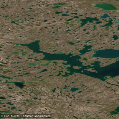
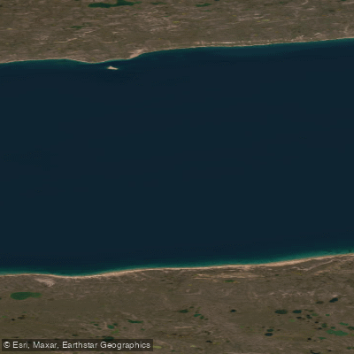
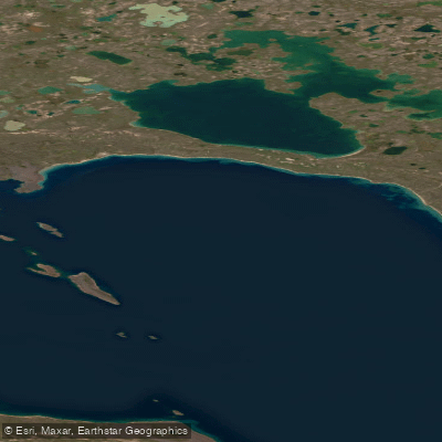
Explore Nu waters
Top paddling waters
No waters available right now.
Popular Cities
Loading popular cities...
Explore near Austin Channel

Smarter Paddling Starts in the App.
Paddleways gives you everything you need to plan smarter, paddle better, and own every trip from first launch to takeout.