Bay of Two Rivers
- Saltwater
- Bay
Bay of Two Rivers
- Saltwater
- Bay
- Sq. miles
- 1.1
- Boat Ramps
- 0
- Access Points
- 0
- Campsites
- 0
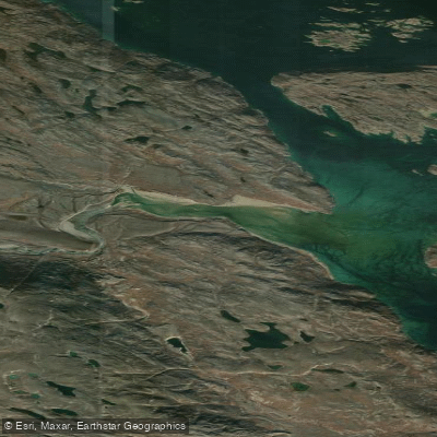
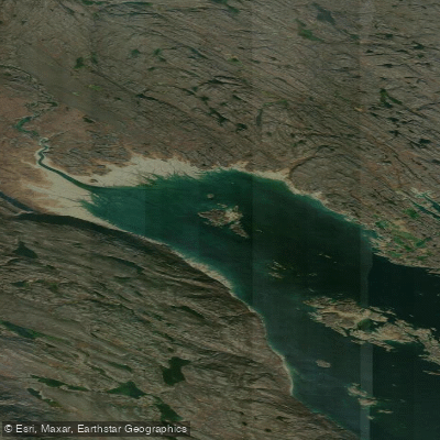
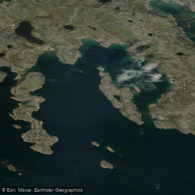
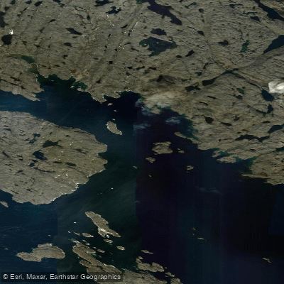
The Bay of Two Rivers, also known as Nungarut, is a coastal bay on the south shore of Frobisher Bay, approximately 50 kilometers southwest of Iqaluit, Nunavut. It is a remote, high-Arctic marine environment accessed primarily by boat from Iqaluit, a journey of about an hour, or by overland travel on seasonal ice and trails. The bay is the northern trailhead for the 120-kilometer Itijjagiaq Trail, a major overland route connecting to Kimmirut. For paddlers, access is dictated by the significant tides of Frobisher Bay; boat access to the area is only possible during a brief window around high tide, indicating a substantial tidal range that exposes extensive intertidal zones. This requires careful planning for launching and landing, as low tide could leave kayaks or canoes stranded far from shore. The area is exposed to the open waters of Frobisher Bay, leading to potential for wind-driven waves and fetch. The main shipping channel for Iqaluit runs through Frobisher Bay, so paddlers should be aware of commercial and local boat traffic, particularly when crossing from Iqaluit. The aesthetic is one of a raw, treeless Arctic landscape, important for Inuit harvesting and cultural education. Water quality is the subject of ongoing baseline studies, which note the area is being characterized for seabed habitats and contaminant levels. A notable hazard for paddlers is the presence of abandoned "ghost" fishing nets, both in the water and along the shores, which pose a serious entanglement risk. There are no described facilities or amenities for paddlers at the bay itself; it is a purely wilderness location. The best season for paddling is during the brief summer ice-free period, though water temperatures remain cold year-round. The area is culturally significant, used extensively for fishing, hunting, and the practice of Inuit Qaujimajatuqangit (Traditional Knowledge).
Water access, boat ramps & amenities
Learn how to get on Bay of Two Rivers. Uncover great paddling access points, boat ramps, and all the facilities you need for an unforgettable day on the water. Some locations shown may border or include private property. Always check property boundaries and applicable regulations before visiting. PaddleWays's Public & Private Land layer can help you plan your access with confidence.
Paddle smarter with real-time insights
Whether you're en route and conditions shift or you're looking for the best spot based on current flows, we enable you to make informed decisions on the fly.








Find Places to Paddle

Over 400,000 Places to Paddle
Every user gets free access to launch points, boat ramps, and public property parcels.


Tides, wind & water conditions (10 day forecast)
On open water, wind and tide matter as much as the weather. See the best times to paddle Bay of Two Rivers and check the marine forecast before you launch.
Loading tide predictions…
Paddling near Bay of Two Rivers
Explore Nu waters
Top paddling waters
No waters available right now.
Popular Cities
Loading popular cities...
Explore near Bay of Two Rivers

Smarter Paddling Starts in the App.
Paddleways gives you everything you need to plan smarter, paddle better, and own every trip from first launch to takeout.