Peterhead Inlet
- Saltwater
- Inlet
Peterhead Inlet
- Saltwater
- Inlet
- Sq. miles
- 4.8
- Boat Ramps
- 0
- Access Points
- 0
- Campsites
- 0
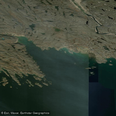
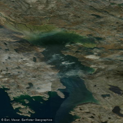
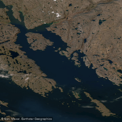
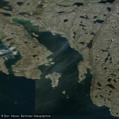
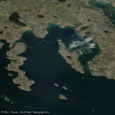
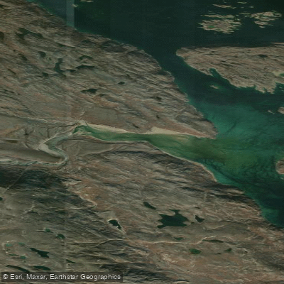
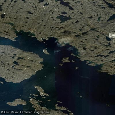
Peterhead Inlet is a shallow coastal inlet on the Frobisher Bay coast of Hall Peninsula, located approximately 10 to 12 kilometers west of Iqaluit, Nunavut. The inlet is characterized by a complex and rocky shoreline with numerous navigational hazards, including above-water rocks, drying ledges, underwater rocks, and shoals both in its approaches and within the inlet itself. This makes careful navigation and local knowledge essential for paddlers. The inlet opens into the much larger Frobisher Bay, which is known for significant tidal ranges and strong currents; paddlers must plan their trips around the tides, aiming to travel with the current where possible and being prepared for potential wind-against-tide conditions that can create steep, choppy waves. The fetch across Frobisher Bay can generate substantial swell and wind waves, exposing paddlers in the inlet's mouth. A primary destination within the inlet is Qaummaarviit Territorial Park, a tiny, rocky island situated about 12 kilometers from Iqaluit. The island holds the well-preserved archaeological remains of a 750-year-old Thule winter camp, featuring 11 sod houses, a grave site, and artifacts. It is accessible by a 12-kilometer boat ride from Iqaluit, typically arranged as a half-day trip in summer. Another potential access is via the Sylvia Grinnell River, which flows into the head of Peterhead Inlet. The area's historical significance is underscored by multiple Thule and Dorset archaeological sites along its shores, including the Tungatsivvik site on the north shore. Given the Arctic environment, paddling is strictly a summer activity, with cold water temperatures persisting even in July and August. Paddlers must be self-sufficient, as there are no dedicated facilities or amenities along the inlet, and must be vigilant for boat traffic from Iqaluit and weather changes that can occur rapidly.
Water access, boat ramps & amenities
Learn how to get on Peterhead Inlet. Uncover great paddling access points, boat ramps, and all the facilities you need for an unforgettable day on the water. Some locations shown may border or include private property. Always check property boundaries and applicable regulations before visiting. PaddleWays's Public & Private Land layer can help you plan your access with confidence.
Paddle smarter with real-time insights
Whether you're en route and conditions shift or you're looking for the best spot based on current flows, we enable you to make informed decisions on the fly.








Find Places to Paddle

Over 400,000 Places to Paddle
Every user gets free access to launch points, boat ramps, and public property parcels.


Tides, wind & water conditions (10 day forecast)
On open water, wind and tide matter as much as the weather. See the best times to paddle Peterhead Inlet and check the marine forecast before you launch.
Loading tide predictions…
Paddling near Peterhead Inlet
Explore Nu waters
Top paddling waters
No waters available right now.
Popular Cities
Loading popular cities...
Explore near Peterhead Inlet

Smarter Paddling Starts in the App.
Paddleways gives you everything you need to plan smarter, paddle better, and own every trip from first launch to takeout.