Foul Inlet
- Saltwater
- Inlet
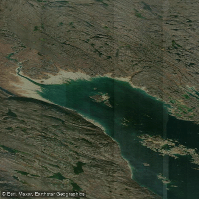
Foul Inlet
- Saltwater
- Inlet
- Sq. miles
- 7.8
- Boat Ramps
- 0
- Access Points
- 0
- Campsites
- 0
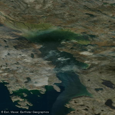
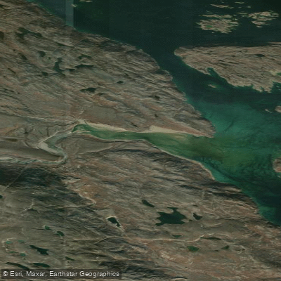
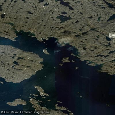
Foul Inlet is a coastal inlet located at 63°43'N, 68°52'W in Nunavut, Canada. The inlet is characterized by an extreme tidal range, drying almost completely at low tide. This is the single most critical factor for paddlers, dictating that all trips must be meticulously planned around high tide windows to avoid being stranded on exposed mudflats. The Jordan River empties into the head of the inlet, and Carter Islands lie within its mouth. The inlet is situated within Frobisher Bay. For paddlers, this geography means the mouth of the inlet is exposed to the broader fetch and conditions of the bay, while the inner areas become vast, exposed flats as the tide recedes. There are no formal launches, amenities, or facilities, indicating a remote, wilderness experience requiring complete self-sufficiency. The extreme tidal nature suggests the primary paddling route would be from a deeper water access point near the mouth, such as around the Carter Islands, and traveling inland with the flooding tide before returning on the ebb. Paddlers must consult official Canadian Tide and Current Tables for precise timing. The area's historical significance is noted by the presence of a raised beach at the head of the bay, indicative of post-glacial rebound. The overall character is one of a raw, dynamic, and challenging Arctic marine environment where successful paddling is entirely dependent on correctly synchronizing with the powerful tidal cycle.
Water access, boat ramps & amenities
Learn how to get on Foul Inlet. Uncover great paddling access points, boat ramps, and all the facilities you need for an unforgettable day on the water. Some locations shown may border or include private property. Always check property boundaries and applicable regulations before visiting. PaddleWays's Public & Private Land layer can help you plan your access with confidence.
Paddle smarter with real-time insights
Whether you're en route and conditions shift or you're looking for the best spot based on current flows, we enable you to make informed decisions on the fly.








Find Places to Paddle

Over 400,000 Places to Paddle
Every user gets free access to launch points, boat ramps, and public property parcels.


Tides, wind & water conditions (10 day forecast)
On open water, wind and tide matter as much as the weather. See the best times to paddle Foul Inlet and check the marine forecast before you launch.
Loading tide predictions…
Paddling near Foul Inlet
Explore Nu waters
Top paddling waters
No waters available right now.
Popular Cities
Loading popular cities...
Explore near Foul Inlet

Smarter Paddling Starts in the App.
Paddleways gives you everything you need to plan smarter, paddle better, and own every trip from first launch to takeout.