ᑕᓯᐅᔭᕐᔪᐊᓛᖅ Burton Bay
- Saltwater
- Bay
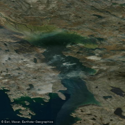
ᑕᓯᐅᔭᕐᔪᐊᓛᖅ Burton Bay
- Saltwater
- Bay
- Sq. miles
- 4.5
- Boat Ramps
- 0
- Access Points
- 0
- Campsites
- 0
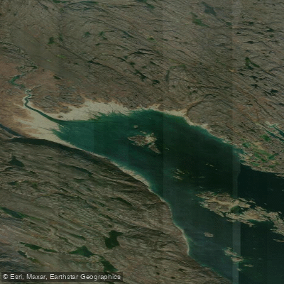
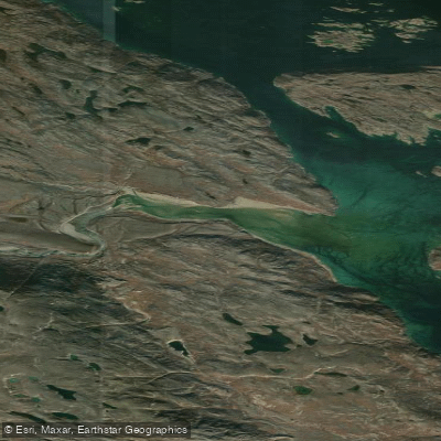
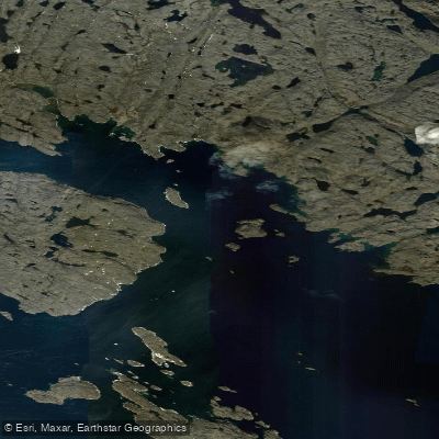
Burton Bay is a coastal bay in Nunavut, Canada, for which a detailed 1:50,000 scale topographic map is available. The bay experiences a semi-diurnal tidal pattern, with two low and two high tides occurring each day. Tidal ranges can be significant, with low tide heights dropping to approximately -0.35 meters below chart datum. Paddlers must plan their trips around these tides, as extensive intertidal zones will be exposed at low water, potentially stranding boats or creating long portages over mud or rock. The water level and current direction change throughout the tidal cycle, requiring careful timing for passages, especially through any constricted areas. As an open coastal bay in the Arctic, it is exposed to wind and waves, with fetch determined by its specific orientation. The water is saltwater and will be cold throughout the year, with sea ice likely rendering the bay impassable for much of the year outside of the summer and early autumn months. The surrounding landscape is depicted on the official topographic map, which is an essential tool for navigation to identify potential landing sites, hazards, and geographical features. No information on specific access points, amenities, or regulations is provided, so thorough personal research and preparation are required before attempting a trip.
Water access, boat ramps & amenities
Learn how to get on ᑕᓯᐅᔭᕐᔪᐊᓛᖅ Burton Bay. Uncover great paddling access points, boat ramps, and all the facilities you need for an unforgettable day on the water. Some locations shown may border or include private property. Always check property boundaries and applicable regulations before visiting. PaddleWays's Public & Private Land layer can help you plan your access with confidence.
Paddle smarter with real-time insights
Whether you're en route and conditions shift or you're looking for the best spot based on current flows, we enable you to make informed decisions on the fly.








Find Places to Paddle

Over 400,000 Places to Paddle
Every user gets free access to launch points, boat ramps, and public property parcels.


Tides, wind & water conditions (10 day forecast)
On open water, wind and tide matter as much as the weather. See the best times to paddle ᑕᓯᐅᔭᕐᔪᐊᓛᖅ Burton Bay and check the marine forecast before you launch.
Loading tide predictions…
Paddling near ᑕᓯᐅᔭᕐᔪᐊᓛᖅ Burton Bay
Explore Nu waters
Top paddling waters
No waters available right now.
Popular Cities
Loading popular cities...
Explore near ᑕᓯᐅᔭᕐᔪᐊᓛᖅ Burton Bay

Smarter Paddling Starts in the App.
Paddleways gives you everything you need to plan smarter, paddle better, and own every trip from first launch to takeout.