Koojesse Inlet
- Saltwater
- Inlet
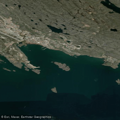
Koojesse Inlet
- Saltwater
- Inlet
- Sq. miles
- 3
- Boat Ramps
- 0
- Access Points
- 0
- Campsites
- 0
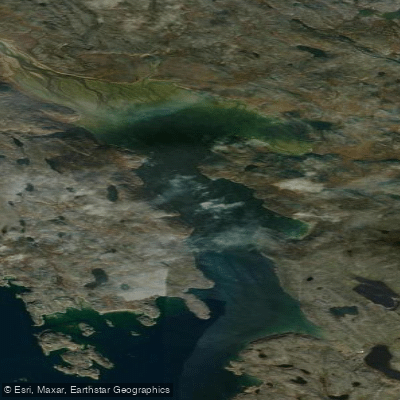
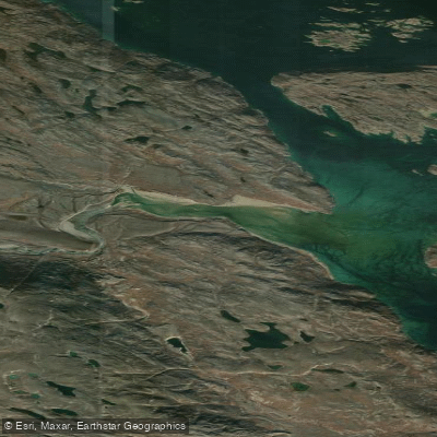
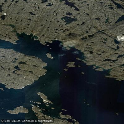
Koojesse Inlet is a coastal inlet on Baffin Island, located adjacent to the city of Iqaluit, the capital of Nunavut. It is a saltwater feature that forms part of the larger Frobisher Bay system. The inlet is geographically defined by the small peninsula of Apex, a suburb of Iqaluit, which separates Koojesse Inlet from the adjacent Tarr Inlet. The inlet is historically significant, having been explored and named by Charles Francis Hall in 1861 after his Inuk guide. For paddlers, the primary access point is the Sealift Beach at the north end of Koojesse Inlet, which is used for cargo operations and serves as a practical launch and take-out location. The area around the inlet includes the communities of Iqaluit and Apex, which provide urban amenities and services. The surrounding landscape is part of the Everett Mountains within the Arctic Cordillera, and the inlet is situated near the mouth of the Sylvia Grinnell River. The region experiences a polar climate, which dictates a very short operational season for paddling, typically limited to the brief summer months when ice is absent and temperatures are above freezing. Water temperatures remain cold year-round. Paddlers must be prepared for significant marine traffic, including large sealift barges and oil/chemical tankers that transit the inlet, particularly during the summer sealift season. The presence of this commercial traffic necessitates extreme caution, careful route planning to avoid main shipping channels, and an understanding of right-of-way rules. Wind exposure and fetch can be considerable in the open waters of the inlet and adjacent Frobisher Bay, making conditions potentially hazardous and requiring advanced paddling skills and preparedness for sudden weather changes. General maritime safety laws apply.
Water access, boat ramps & amenities
Learn how to get on Koojesse Inlet. Uncover great paddling access points, boat ramps, and all the facilities you need for an unforgettable day on the water. Some locations shown may border or include private property. Always check property boundaries and applicable regulations before visiting. PaddleWays's Public & Private Land layer can help you plan your access with confidence.
Paddle smarter with real-time insights
Whether you're en route and conditions shift or you're looking for the best spot based on current flows, we enable you to make informed decisions on the fly.








Find Places to Paddle

Over 400,000 Places to Paddle
Every user gets free access to launch points, boat ramps, and public property parcels.


Tides, wind & water conditions (10 day forecast)
On open water, wind and tide matter as much as the weather. See the best times to paddle Koojesse Inlet and check the marine forecast before you launch.
Loading tide predictions…
Paddling near Koojesse Inlet
Explore Nu waters
Top paddling waters
No waters available right now.
Popular Cities
Loading popular cities...
Explore near Koojesse Inlet

Smarter Paddling Starts in the App.
Paddleways gives you everything you need to plan smarter, paddle better, and own every trip from first launch to takeout.