Frobisher Bay
- Saltwater
- Bay
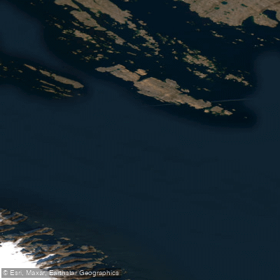
Frobisher Bay
- Saltwater
- Bay
- Sq. miles
- 3,874
- Boat Ramps
- 0
- Access Points
- 0
- Campsites
- 0
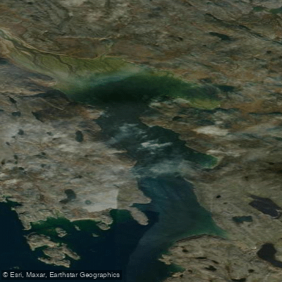
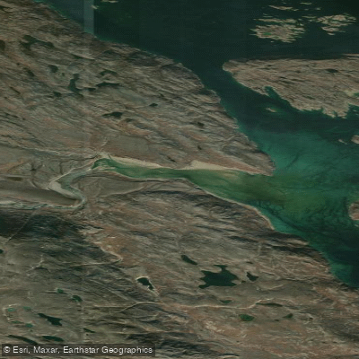
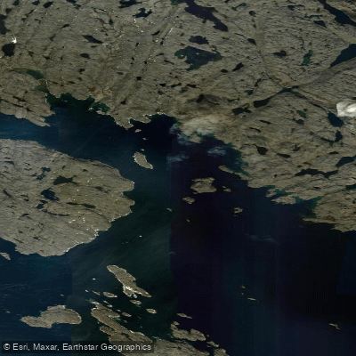
Frobisher Bay is a vast, remote saltwater bay on the southeast coast of Baffin Island, with the territorial capital of Iqaluit situated at its head. The primary access point for paddlers is from Iqaluit, a city of approximately 7,000 people that serves as the logistical hub for the region. The bay is characterized by its Arctic setting, featuring ice-capped mountains, tundra valleys, and a dramatic, rocky coastline. Paddlers should be prepared for a challenging and exposed environment where conditions can change rapidly. The waters are cold year-round, with summer being the primary paddling season when pack ice is minimal and fjords are not frozen; icebergs may still be present in the bay during this time. Wildlife sightings can include seals and, on shore, caribou and Arctic foxes. The area holds significant historical importance, being the location where English explorer Martin Frobisher entered in 1576 and where some of the first European-led Thanksgiving ceremonies in North America were later held. The nearby Sylvia Grinnell Territorial Park offers tundra hiking and views of the Sylvia Grinnell River. Due to the bay's exposure and cold water, safety is a paramount concern, as evidenced by rescue operations conducted for boating accidents; paddling here requires appropriate gear, including a dry suit, and should only be undertaken with significant preparation and local knowledge. Commercial outfitters in Iqaluit offer guided sea kayaking experiences on the bay.
Water access, boat ramps & amenities
Learn how to get on Frobisher Bay. Uncover great paddling access points, boat ramps, and all the facilities you need for an unforgettable day on the water. Some locations shown may border or include private property. Always check property boundaries and applicable regulations before visiting. PaddleWays's Public & Private Land layer can help you plan your access with confidence.
Paddle smarter with real-time insights
Whether you're en route and conditions shift or you're looking for the best spot based on current flows, we enable you to make informed decisions on the fly.








Find Places to Paddle

Over 400,000 Places to Paddle
Every user gets free access to launch points, boat ramps, and public property parcels.


Tides, wind & water conditions (10 day forecast)
On open water, wind and tide matter as much as the weather. See the best times to paddle Frobisher Bay and check the marine forecast before you launch.
Loading tide predictions…
Paddling near Frobisher Bay
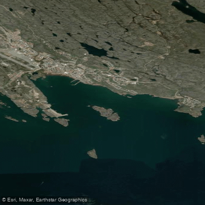
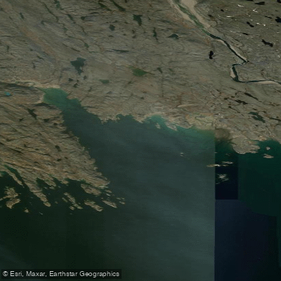
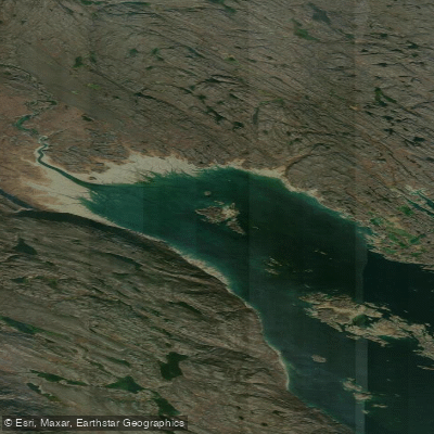
Explore Nu waters
Top paddling waters
No waters available right now.
Popular Cities
Loading popular cities...
Explore near Frobisher Bay

Smarter Paddling Starts in the App.
Paddleways gives you everything you need to plan smarter, paddle better, and own every trip from first launch to takeout.