Bracebridge Inlet
- Saltwater
- Inlet
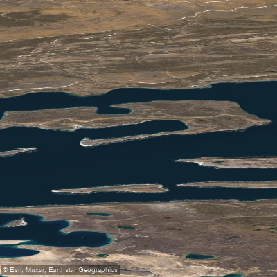
Bracebridge Inlet
- Saltwater
- Inlet
- Sq. miles
- 262
- Boat Ramps
- 0
- Access Points
- 0
- Campsites
- 0
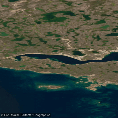
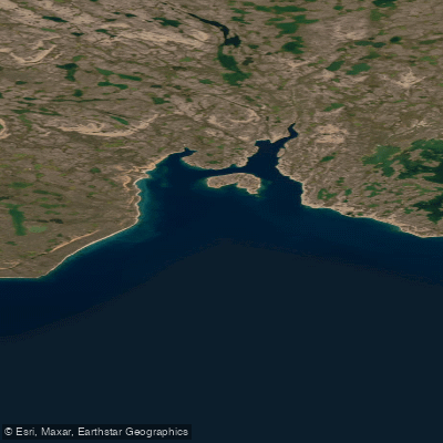
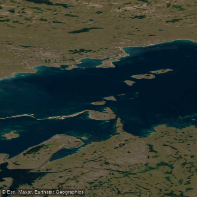
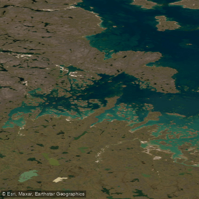
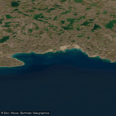
Bracebridge Inlet is a coastal inlet on the south coast of Bathurst Island, within Qausuittuq National Park in Nunavut, Canada. Its coordinates are approximately 75°31'N, 100°30'W. The inlet forms the western terminus of the broad, low-lying Polar Bear Pass valley, a significant geographical feature that cuts across the center of the island. The shoreline is characterized by a low water line with various indentations, and the surrounding terrain is a polar desert landscape of rolling hills, marshy wetlands, and low plateaus. This is an extremely remote High Arctic environment with 24-hour daylight during the brief summer and 24-hour darkness in winter.
Paddling here is a profound wilderness expedition experience with no facilities, amenities, or established launch points for recreational boaters. The area is accessible only by charter aircraft or expedition vessel, typically via the community of Resolute. The inlet experiences Arctic marine conditions with sea ice present for much of the year; the brief, ice-free window for paddling is limited to late summer. Tides and currents are a factor. Winds can be strong and fetch across the inlet can generate significant chop, requiring advanced paddling skills and preparedness for sudden weather changes. Water temperatures are frigid year-round, necessitating drysuits and immersion protection. The area is home to polar bears, ringed seals, bearded seals, walrus, bowhead whales, belugas, and narwhals. Paddlers must be proficient in bear safety and aware that this is active polar bear habitat.
The inlet holds significant cultural history, with several Late Dorset culture archaeological sites dating from approximately 500 to 1200 AD located along its shores. These sites are protected, and it is illegal to disturb them. All visitors to Qausuittuq National Park require a permit and must follow strict guidelines to protect the fragile ecosystem and cultural resources. The overall experience is one of solitude and immersion in a vast, ancient, and austere landscape, suitable only for highly self-sufficient, experienced expedition paddlers prepared for total self-rescue and remote travel.
Water access, boat ramps & amenities
Learn how to get on Bracebridge Inlet. Uncover great paddling access points, boat ramps, and all the facilities you need for an unforgettable day on the water. Some locations shown may border or include private property. Always check property boundaries and applicable regulations before visiting. PaddleWays's Public & Private Land layer can help you plan your access with confidence.
Paddle smarter with real-time insights
Whether you're en route and conditions shift or you're looking for the best spot based on current flows, we enable you to make informed decisions on the fly.








Find Places to Paddle

Over 400,000 Places to Paddle
Every user gets free access to launch points, boat ramps, and public property parcels.


Tides, wind & water conditions (10 day forecast)
On open water, wind and tide matter as much as the weather. See the best times to paddle Bracebridge Inlet and check the marine forecast before you launch.
Loading tide predictions…
Paddling near Bracebridge Inlet
Explore Nu waters
Top paddling waters
No waters available right now.
Popular Cities
Loading popular cities...
Explore near Bracebridge Inlet

Smarter Paddling Starts in the App.
Paddleways gives you everything you need to plan smarter, paddle better, and own every trip from first launch to takeout.