Byam Martin Channel
- Saltwater
- Channel
Byam Martin Channel
- Saltwater
- Channel
- Sq. miles
- 4,124
- Boat Ramps
- 0
- Access Points
- 0
- Campsites
- 0
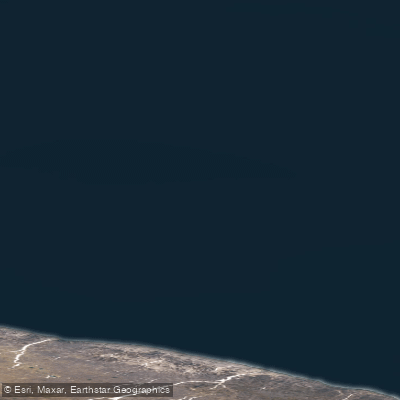
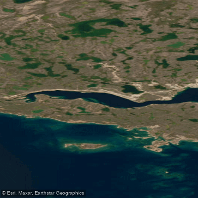
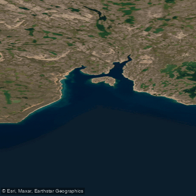
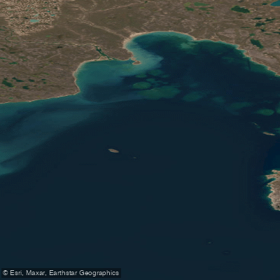
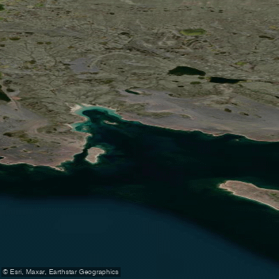
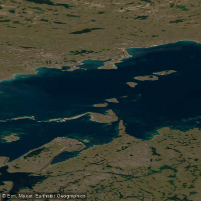
Byam Martin Channel is a significant marine channel in the high Arctic of Nunavut, Canada, located at approximately 76°00'N, 105°00'W. It lies between the islands off the northwestern side of Bathurst Island and the eastern side of Melville Island. This is a remote, exposed saltwater passage within the Canadian Arctic Archipelago, and it forms part of the complex network of waterways associated with the Northwest Passage. The channel's character is profoundly shaped by the Arctic marine environment, with sea ice being a dominant and persistent feature for much of the year. Scientific studies indicate that a persistent ice arch, a barrier of consolidated ice, forms in the channel and remains in place approximately one in every four years, which can significantly impede or completely block navigation. During summer months, the channel may contain areas of open water or pack ice, with conditions varying annually. The region is known for its polar bear population, with the channel being part of the range for the sub-population that inhabits Barrow Strait, Wellington Channel, Prince Regent Inlet, and adjacent areas. For paddlers, this environment presents extreme challenges including frigid water temperatures year-round, the constant potential hazard of sea ice and icebergs, and exposure to severe Arctic winds across long fetches. There are no established launch sites, take-outs, or facilities for paddlers, underscoring the channel's wilderness nature. Navigation requires expert knowledge of ice conditions, tides, and currents, and trips must be planned with extreme caution and self-sufficiency, suitable only for highly experienced expedition paddlers prepared for remote, unsupported travel in a polar environment.
Water access, boat ramps & amenities
Learn how to get on Byam Martin Channel. Uncover great paddling access points, boat ramps, and all the facilities you need for an unforgettable day on the water. Some locations shown may border or include private property. Always check property boundaries and applicable regulations before visiting. PaddleWays's Public & Private Land layer can help you plan your access with confidence.
Paddle smarter with real-time insights
Whether you're en route and conditions shift or you're looking for the best spot based on current flows, we enable you to make informed decisions on the fly.








Find Places to Paddle

Over 400,000 Places to Paddle
Every user gets free access to launch points, boat ramps, and public property parcels.


Tides, wind & water conditions (10 day forecast)
On open water, wind and tide matter as much as the weather. See the best times to paddle Byam Martin Channel and check the marine forecast before you launch.
Loading tide predictions…
Paddling near Byam Martin Channel
Explore Nu waters
Top paddling waters
No waters available right now.
Popular Cities
Loading popular cities...
Explore near Byam Martin Channel

Smarter Paddling Starts in the App.
Paddleways gives you everything you need to plan smarter, paddle better, and own every trip from first launch to takeout.