Erskine Inlet
- Saltwater
- Inlet
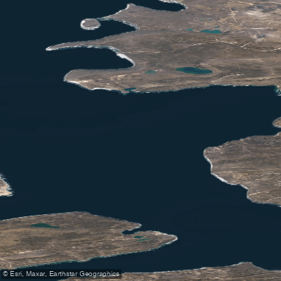
Erskine Inlet
- Saltwater
- Inlet
- Sq. miles
- 338
- Boat Ramps
- 0
- Access Points
- 0
- Campsites
- 0
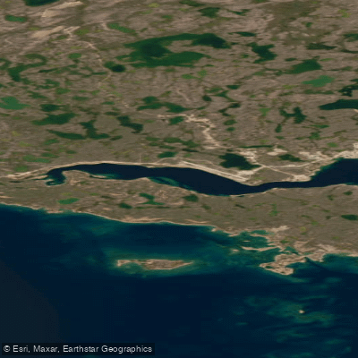
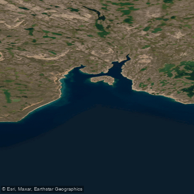
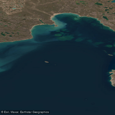
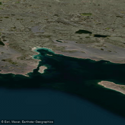
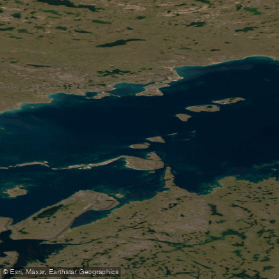
Erskine Inlet is a significant coastal indentation on the northwest side of Bathurst Island in Nunavut, Canada. Its outer, western side is formed by Alexander Island and Massey Island, creating a complex and protected coastline. The inlet is situated within a remote High Arctic environment, and its waters and adjacent low-water islands are included within the boundaries of a National Wildlife Area, specifically referenced in the legal description of Polar Bear Pass. This designation implies that paddlers must be aware of and comply with all applicable federal regulations governing activities within a National Wildlife Area, which may include restrictions on landing, wildlife disturbance, and access during certain seasons. The area is characterized by its stark, rugged geography. The legal texts describe following the intricate indentations of the inlet's low water line, indicating a shoreline with many coves, points, and potentially sheltered bays. The presence of islands like Île Marc and Alexander Island within and near the inlet's mouth suggests opportunities for protected paddling routes and potential landing sites. Given its Arctic location, the paddling season is extremely short, likely limited to a brief period in late summer when ice conditions permit. Water temperatures remain near freezing for most of the year. The environment is exposed, with the potential for strong winds and cold water posing significant hazards. The area is noted for its geological significance, with studies referencing the head of Erskine Inlet and surrounding formations. Paddlers here must be entirely self-sufficient, skilled in cold-water and expedition-style travel, and prepared for rapidly changing conditions in one of Canada's most isolated regions.
Water access, boat ramps & amenities
Learn how to get on Erskine Inlet. Uncover great paddling access points, boat ramps, and all the facilities you need for an unforgettable day on the water. Some locations shown may border or include private property. Always check property boundaries and applicable regulations before visiting. PaddleWays's Public & Private Land layer can help you plan your access with confidence.
Paddle smarter with real-time insights
Whether you're en route and conditions shift or you're looking for the best spot based on current flows, we enable you to make informed decisions on the fly.








Find Places to Paddle

Over 400,000 Places to Paddle
Every user gets free access to launch points, boat ramps, and public property parcels.


Tides, wind & water conditions (10 day forecast)
On open water, wind and tide matter as much as the weather. See the best times to paddle Erskine Inlet and check the marine forecast before you launch.
Loading tide predictions…
Paddling near Erskine Inlet
Explore Nu waters
Top paddling waters
No waters available right now.
Popular Cities
Loading popular cities...
Explore near Erskine Inlet

Smarter Paddling Starts in the App.
Paddleways gives you everything you need to plan smarter, paddle better, and own every trip from first launch to takeout.