Big Otter Creek
Big Otter Creek
- Boat Ramps
- 1
- Access Points
- 0
- Campsites
- 1
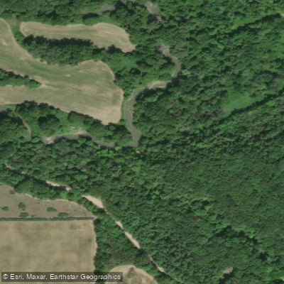
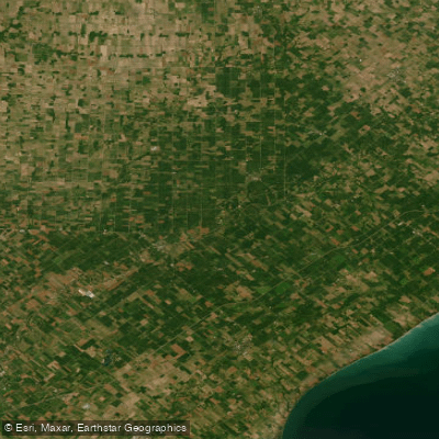
Big Otter Creek runs approximately 42 kilometres in total, draining a 712 square kilometre basin that includes parts of the Norfolk Sand Plain and the Horseshoe Moraine. It flows south through southwestern Ontario's Carolinian forest zone before emptying into Lake Erie at Port Burwell. The paddleable section most commonly run stretches roughly 30 kilometres from the first Highway 43 bridge south of Richmond to Port Burwell, though a shorter segment from Highway 45 (Calton Line) to Vienna takes approximately two hours and suits families or half-day outings. The full Richmond-to-Port Burwell run takes around five hours of steady paddling. A 27-kilometre stretch between Richmond and Vienna is also a recognized route, with the take-out under the bridge in Vienna.
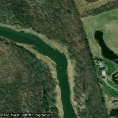
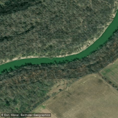
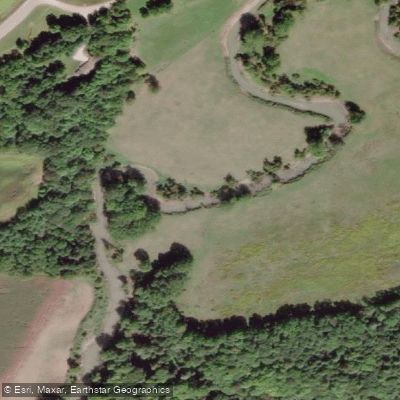
The creek has a sand bottom throughout, which means few rocks and soft contact when the hull touches bottom. Banks are steep sand, some rising as high as 30 metres, and heavily forested with Carolinian species. These tall banks screen surrounding farmland from view, creating an enclosed corridor for most of the trip. The river meanders extensively — the upper stretch between the two Highway 43 crossings covers 5.2 kilometres of paddling over ground a car travels in two minutes. Current is gentle in normal spring conditions, moving at roughly a walking pace, with water depth averaging about paddle-blade length through most bends.
The primary hazard on this creek is strainers and log jams, which can be numerous and serious, particularly in the upper section between Richmond and Calton Line. One documented trip encountered around 15 strainers, including a log jam requiring paddlers to climb over with boats in hand. The upper section also has a small dam near the start. Paddlers should carry throw ropes and have solid rescue skills, especially when water levels are high enough to generate fast, continuous current. The section downstream of Calton Line is generally considered easier.
Wildlife sightings along the route include river otters, muskrats, raccoons, deer, hawks, and turkey vultures. Spring is the primary paddling season, when water levels are sufficient to keep hulls floating. Parking is reported as free at both the Richmond put-in and the Vienna take-out. Canoe and kayak rentals along with shuttle service are available through at least one outfitter operating out of Port Burwell.
Water access, boat ramps & amenities
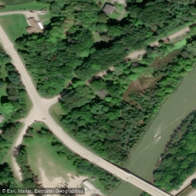
Learn how to get on Big Otter Creek. Uncover great paddling access points, boat ramps, and all the facilities you need for an unforgettable day on the water. Some locations shown may border or include private property. Always check property boundaries and applicable regulations before visiting. PaddleWays's Public & Private Land layer can help you plan your access with confidence.
Paddle smarter with real-time insights
Whether you're en route and conditions shift or you're looking for the best spot based on current flows, we enable you to make informed decisions on the fly.








Find Places to Paddle

Over 400,000 Places to Paddle
Every user gets free access to launch points, boat ramps, and public property parcels.


Water and weather conditions (10 day forecast)
See the best times to paddle Big Otter Creek and check the forecast before you go.
BIG OTTER CREEK AT TILLSONBURG
All Flow Stations
Paddling near Big Otter Creek
Explore On waters
Top paddling waters
No waters available right now.
Popular Cities
Loading popular cities...
Explore near Big Otter Creek

Smarter Paddling Starts in the App.
Paddleways gives you everything you need to plan smarter, paddle better, and own every trip from first launch to takeout.