Sydenham River
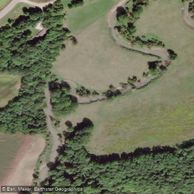
Sydenham River
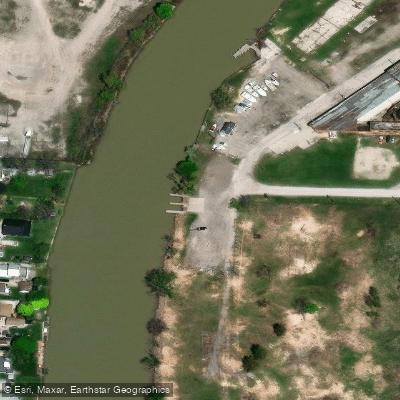
- Boat Ramps
- 2
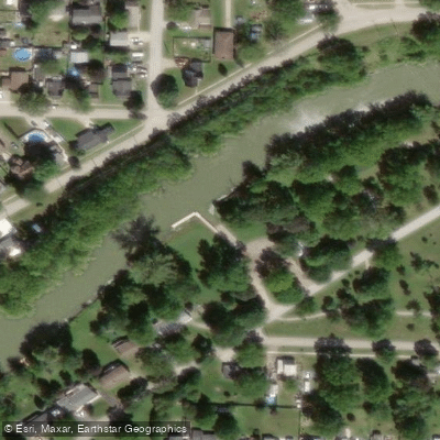
- Access Points
- 0
- Campsites
- 1
The Sydenham River in Ontario flows through two quite different paddling environments depending on which section you choose. In the Owen Sound area, the river passes through Harrison Park and runs between a mill dam with fish ladders to the north and Harrison Park to the south. Access here is available at 401 5th Ave E in Owen Sound, where parking and trail access connecting to Harrison Park are provided. Paddlers should note that launching between Inglis Falls and Harrison Park is not feasible due to escarpment terrain and rocks that prevent safe entry. Water levels in this upper section can drop significantly after the spring melt, making spring the more practical season for paddling here.
Further downstream in the Lambton County and Chatham-Kent regions, the river takes on a very different character. Near Wilkesport, the river is a meandering waterway with very little current and no rapids, making it accessible to novice paddlers. A put-in is located near the village of Wilkesport, a few hundred metres west of Kimball Side Road on Wilkesport Line, with adequate roadside parking. Late summer and early fall are noted as good times to paddle this stretch. Power boats have not been observed on this section.
In the Wallaceburg area, the lower Sydenham is wider and carries a minor current. It forms part of the Wallaceburg Water Trail, a loop system that also incorporates the Snye River and Running Creek, totalling approximately 21 to 29 kilometres depending on the route chosen. The suggested put-in for the loop is Crothers Conservation Area on the outskirts of Wallaceburg. The lower river is navigable by both paddle craft and motorized boats, so paddlers should be alert to slow-moving pleasure craft in summer months. The entire loop route involves only two lift-overs — one at a railway crossing and one where a drainage ditch meets Running Creek — making it essentially portage-free. Overnight transient docks are available at Wallaceburg from mid-May to mid-October.
Throughout the river, shoreline vegetation tends to screen agricultural land, and wildlife including herons, Canada Geese, various duck species, Wild Turkeys, deer, and Bald Eagles have been observed. The river bottom in some stretches contains freshwater mussel shells, and unique rock formations and remnants of old bridges are visible along certain routes.
Water access, boat ramps & amenities
Learn how to get on Sydenham River. Uncover great paddling access points, boat ramps, and all the facilities you need for an unforgettable day on the water. Some locations shown may border or include private property. Always check property boundaries and applicable regulations before visiting. PaddleWays's Public & Private Land layer can help you plan your access with confidence.
Paddle smarter with real-time insights
Whether you're en route and conditions shift or you're looking for the best spot based on current flows, we enable you to make informed decisions on the fly.








Find Places to Paddle

Over 400,000 Places to Paddle
Every user gets free access to launch points, boat ramps, and public property parcels.


Water and weather conditions (10 day forecast)
See the best times to paddle Sydenham River and check the forecast before you go.
SYDENHAM RIVER NEAR ALVINSTON
All Flow Stations
Paddling near Sydenham River
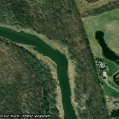
Explore On waters
Top paddling waters
No waters available right now.
Popular Cities
Loading popular cities...
Explore near Sydenham River

Smarter Paddling Starts in the App.
Paddleways gives you everything you need to plan smarter, paddle better, and own every trip from first launch to takeout.