Catfish Creek
Catfish Creek
- Boat Ramps
- 0
- Access Points
- 0
- Campsites
- 0
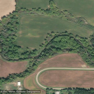
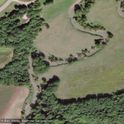
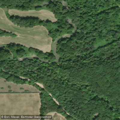
Catfish Creek is a slow-moving agricultural drainage stream in southwestern Ontario that flows into Lake Erie at the village of Port Bruce. The creek is characterized by low, cliff-like banks, meandering water with minimal current, and limited signs of development along its corridor. Bank-dwelling birds are commonly observed, and the overall character reflects the typical agricultural landscape of this part of the province.
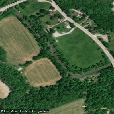
The creek is best paddled in spring when water levels are higher, as lower water in other seasons can make the run impractical. A noted put-in is on the east side of a bridge, launching from the south side of the road; the take-out is in Port Bruce on the south side of a fallen bridge, where parking is also available. The trip is described as approximately 3.5 hours in duration. The primary hazard on the creek is fallen trees across the water, which require portaging. There are no significant rapids or technical challenges beyond these occasional obstructions.
Springwater Conservation Area, managed by the Catfish Creek Conservation Authority, provides additional paddling opportunities on a 14-acre stocked pond within the watershed. This facility offers canoe and kayak rentals, a non-motorized boat launch, fishing platforms, and comfort stations. Day-use passes are required and can be purchased at the Springwater Gatehouse or through Passport Parking Canada. Motorized boats and paddleboards are not permitted on Springwater Pond. The conservation area also hosts camping, a sandy beach, and various seasonal events.
Paddlers should be aware that access to conservation authority properties may be subject to seasonal regulations or temporary closures, and activities such as canoeing and kayaking on conservation authority lands have historically required a valid day pass. It is advisable to confirm current access requirements with the Catfish Creek Conservation Authority before visiting.
Water access, boat ramps & amenities
Learn how to get on Catfish Creek. Uncover great paddling access points, boat ramps, and all the facilities you need for an unforgettable day on the water. Some locations shown may border or include private property. Always check property boundaries and applicable regulations before visiting. PaddleWays's Public & Private Land layer can help you plan your access with confidence.
Paddle smarter with real-time insights
Whether you're en route and conditions shift or you're looking for the best spot based on current flows, we enable you to make informed decisions on the fly.








Find Places to Paddle

Over 400,000 Places to Paddle
Every user gets free access to launch points, boat ramps, and public property parcels.


Water and weather conditions (10 day forecast)
See the best times to paddle Catfish Creek and check the forecast before you go.
CATFISH CREEK NEAR SPARTA
All Flow Stations
Paddling near Catfish Creek
Explore On waters
Top paddling waters
No waters available right now.
Popular Cities
Loading popular cities...
Explore near Catfish Creek

Smarter Paddling Starts in the App.
Paddleways gives you everything you need to plan smarter, paddle better, and own every trip from first launch to takeout.