Rivière Thames
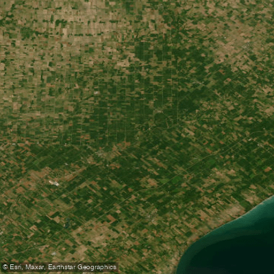
Rivière Thames
- Boat Ramps
- 4
- Access Points
- 0
- Campsites
- 4
The Thames River in southwestern Ontario, designated as a Canadian Heritage River, flows through a diverse landscape of agricultural fields, forests, urban neighbourhoods, and parkland. Known to First Nations peoples as Deshkan Ziibi (Antler River in Anishinaabemowin) by the Anishinaabeg and Lunaapewak, and as Kahwy^hatati by the Haudenosaunee, the river carries significant cultural and natural heritage. Its passage through the Carolinian zone of Ontario gives it exceptional biodiversity, supporting birds, mammals, insects, reptiles, and amphibians not commonly found elsewhere in Canada.
The river system comprises several branches. The North Thames River Canoe Route runs 71 km from St. Marys to Delaware, with an elevation drop of 94 metres, and is rated suitable for novice to intermediate paddlers as there are no difficult rapids, though boulders require attention in low water. The route is divided into three sections: St. Marys to Fanshawe Dam, Fanshawe Dam to Springbank Park, and Springbank Park to Delaware. The South Branch, running from Woodstock toward Dorchester, is described as a tranquil, twisting waterway with abundant wildlife. The lower Thames continues through Chatham to Lake St. Clair, where overnight transient docks are available in downtown Chatham.
Access points exist at most bridge crossings along the route, though no formal infrastructure is maintained at most of them. In St. Marys, canoe access is best from the west side of the river below the weir, at Thomas Street or Blue Heron Drive. Fanshawe Conservation Area offers a public dock and launch on the north side of the reservoir just before Fanshawe Dam, with a parking lot and portable toilet available in season. Note that vehicle access past the dam is restricted on weekends and evenings from December 1 to March 31. A portage is required around the former Springbank Dam structure, accessible via the left (south) bank, where a parking lot and washroom are nearby.
Paddling season typically runs from March through November. Spring brings faster flow rates and colder water, while summer paddling on the upper branches can be affected by lower water levels. The Upper Thames River Conservation Authority (UTRCA) publishes recommended flow rates and live river data for specific sections, and paddlers should consult their website for flood and low water alerts before setting out. Fanshawe, Pittock, and Wildwood Conservation Areas offer canoe, kayak, and stand-up paddleboard rentals for use on their respective reservoirs.
Water access, boat ramps & amenities
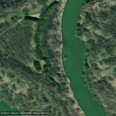
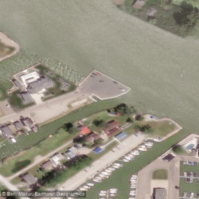
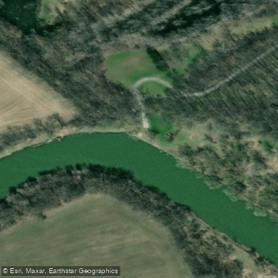
Learn how to get on Rivière Thames. Uncover great paddling access points, boat ramps, and all the facilities you need for an unforgettable day on the water. Some locations shown may border or include private property. Always check property boundaries and applicable regulations before visiting. PaddleWays's Public & Private Land layer can help you plan your access with confidence.
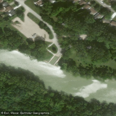
Paddle smarter with real-time insights
Whether you're en route and conditions shift or you're looking for the best spot based on current flows, we enable you to make informed decisions on the fly.








Find Places to Paddle

Over 400,000 Places to Paddle
Every user gets free access to launch points, boat ramps, and public property parcels.


Water and weather conditions (10 day forecast)
See the best times to paddle Rivière Thames and check the forecast before you go.
THAMES RIVER AT BYRON
All Flow Stations
Paddling near Rivière Thames
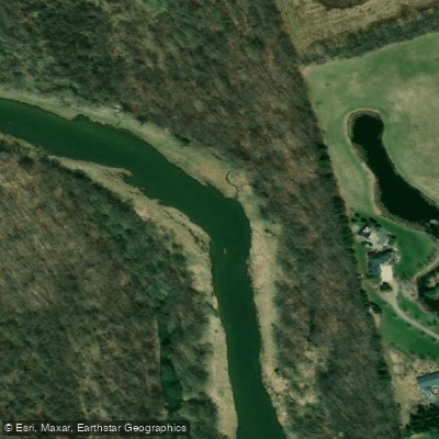
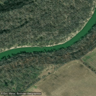
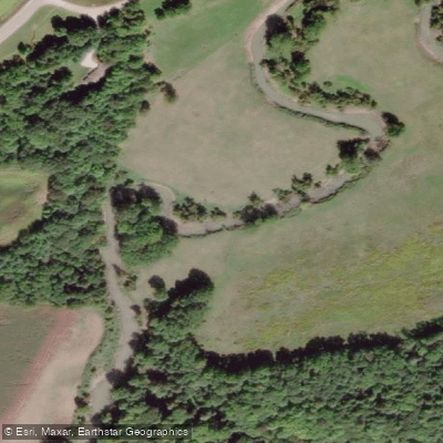
Explore On waters
Top paddling waters
No waters available right now.
Popular Cities
Loading popular cities...
Explore near Rivière Thames

Smarter Paddling Starts in the App.
Paddleways gives you everything you need to plan smarter, paddle better, and own every trip from first launch to takeout.