Middle Thames River
Middle Thames River
- Boat Ramps
- 0
- Access Points
- 0
- Campsites
- 1
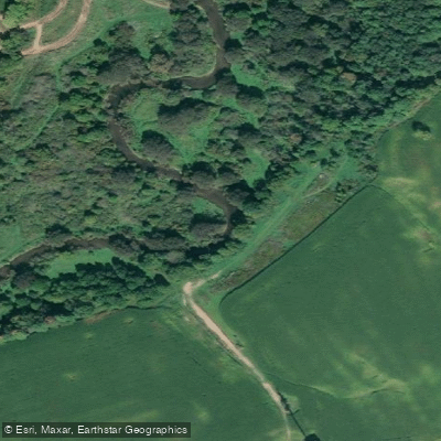
The Middle Thames River is one of the upper branches of the Thames River system in southwestern Ontario, managed in part by the Upper Thames River Conservation Authority (UTRCA). Paddling season on the river typically runs from as early as March through November, with spring and fall generally offering the most favorable conditions. Summer paddling, particularly in July and August, can be challenging in the upper sections due to heavy weed growth, which significantly affects navigability and the overall experience.
Water levels and flow rates are an important planning consideration. The UTRCA publishes live flow data and recommended flow rates for the Middle Thames, and paddlers are advised to consult this resource before heading out. As a general guideline, paddling is typically feasible at flow rates ranging from roughly half to double the UTRCA's recommended level, though flood and low water alerts should always be checked.
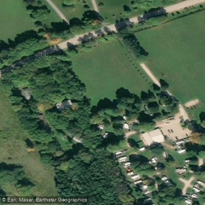
At Thamesford, there is a boat launch access point, though the launch is noted to be muddy. Paddling above the weir dam at this location is the typical route, and the dam itself represents a hazard paddlers should be aware of. The stretch near Thamesford is considered suitable for beginners and families with children.
Wildlife along the river is a notable feature, with Blue Herons, turtles, frogs, ducks, and fish regularly observed. The Carolinian forest corridor along the Thames provides seasonal interest, with spring bringing active wildlife and autumn offering changing foliage. The river flows through a landscape characteristic of Ontario's southwest, and the paddling experience reflects the quieter, pastoral nature of the upper river branches.
Water access, boat ramps & amenities
Learn how to get on Middle Thames River. Uncover great paddling access points, boat ramps, and all the facilities you need for an unforgettable day on the water. Some locations shown may border or include private property. Always check property boundaries and applicable regulations before visiting. PaddleWays's Public & Private Land layer can help you plan your access with confidence.
Paddle smarter with real-time insights
Whether you're en route and conditions shift or you're looking for the best spot based on current flows, we enable you to make informed decisions on the fly.








Find Places to Paddle

Over 400,000 Places to Paddle
Every user gets free access to launch points, boat ramps, and public property parcels.


Water and weather conditions (10 day forecast)
See the best times to paddle Middle Thames River and check the forecast before you go.
MIDDLE THAMES RIVER AT THAMESFORD
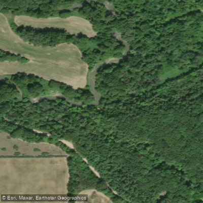
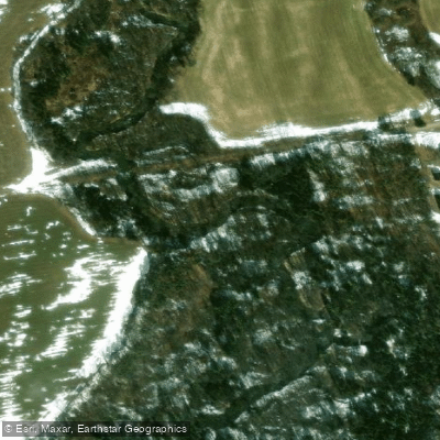
Paddling near Middle Thames River
Explore On waters
Top paddling waters
No waters available right now.
Popular Cities
Loading popular cities...
Explore near Middle Thames River

Smarter Paddling Starts in the App.
Paddleways gives you everything you need to plan smarter, paddle better, and own every trip from first launch to takeout.